


| Name | Tori Põrgu outcrop |
| Type | outcrop |
| Country | Estonia |
| Parish | Tori |
| Settlement | Tori |
| Depth | 8.2 |
| Coordinates | 58.483589, 24.816658 |
| Coordinate precision | 1-10 m |
| Coord. method | Est Land Board map server |
| Coord. agent | Aaloe, Aasa |
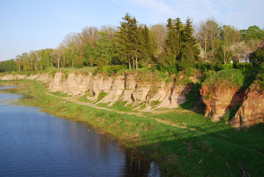
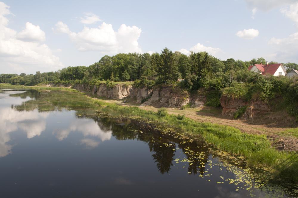
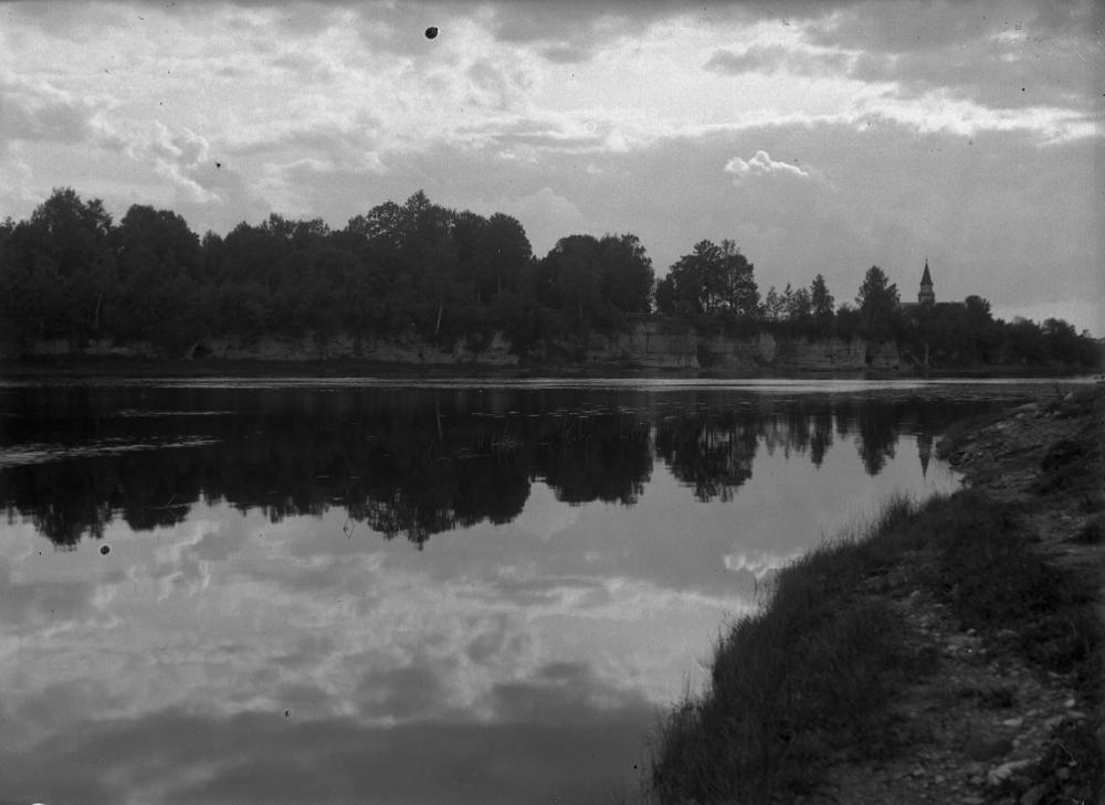
| Location remarks | Pärnu jõe vasakul kaldal Tori silla juures, paljandi pikkus ~400m. Left bank of the Pärnu River, near the Tori bridge, the lenght ca 400m. |
| Strat. top | Pärnu Stage |
| Strat. base | Pärnu Stage |
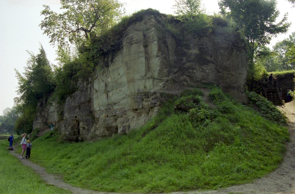
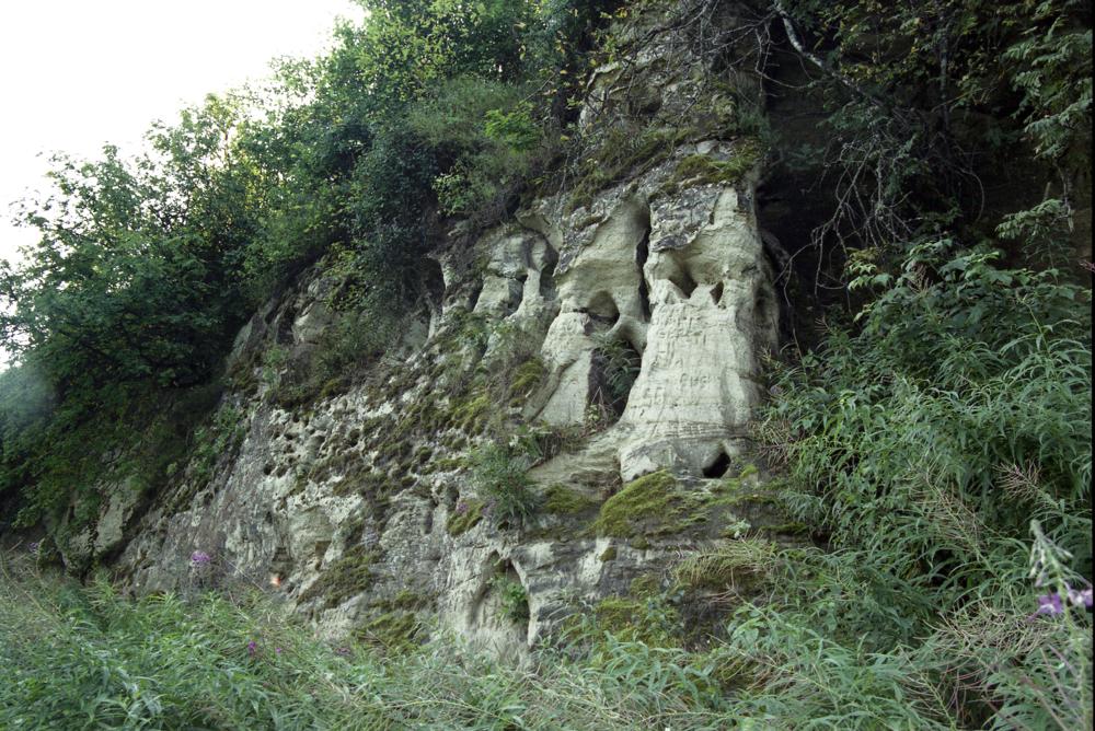
| Remarks | Pärnu lademe stratotüüp. Parim selle taseme avamus Loode-Euroopas. Rahvusvaheliselt tuntud Devoni kalade ja taimede leiukoht. Hästi ligipääsetav, muistenditega seotud koobas. Stratotype of the Pärnu Regional Stage. The best outcrop of the Pärnu Regional Stage in Northwestern Europe. An internationally renowned site for Devonian fish and plants. Easily accessible. |
| Date added | 2003-09-22 |
| Date changed | 2024-07-09 |
Browse Geocollections
Partners


This site uses Matomo to analyze traffic and help us to improve your user experience. We process your IP address, viewed pages, load times and device information. This data is only processed by us.