| Name | Peetri hillock |
| Type | outcrop |
| Country | Estonia |
| Parish | Saue |
| Depth | 13 |
| Elevation | 38.00 |
| Coordinates | 59.364984, 24.498539 |
| Coordinate system | EPSG:3301 |
| X | 6580879 |
| Y | 528350 |
| Coordinate precision | 1-10 m |
| Coord. method | Est Land Board map server |
| Coord. agent | Hints, Olle |
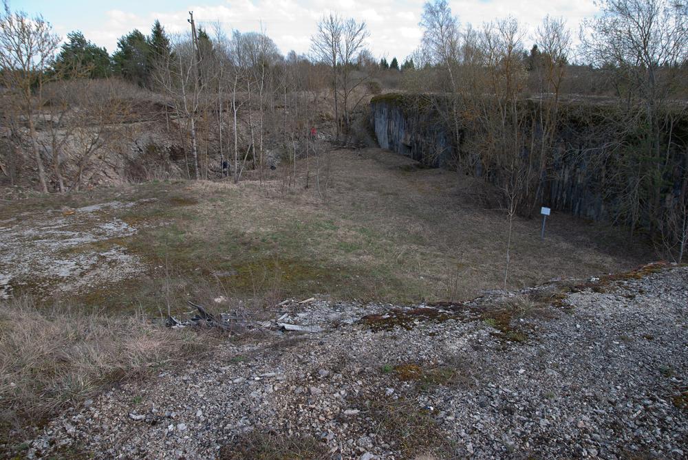
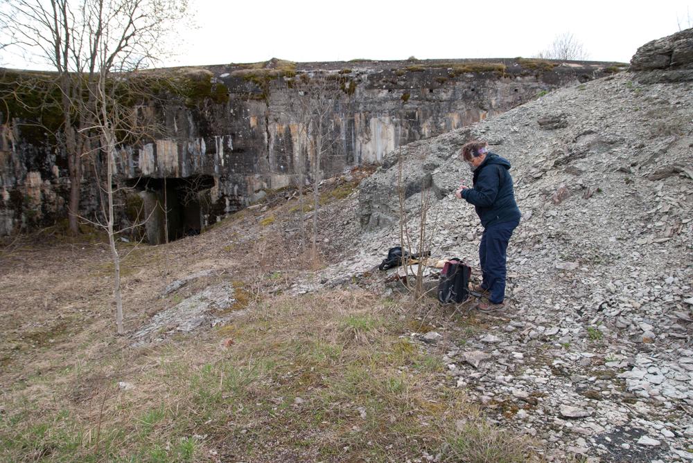
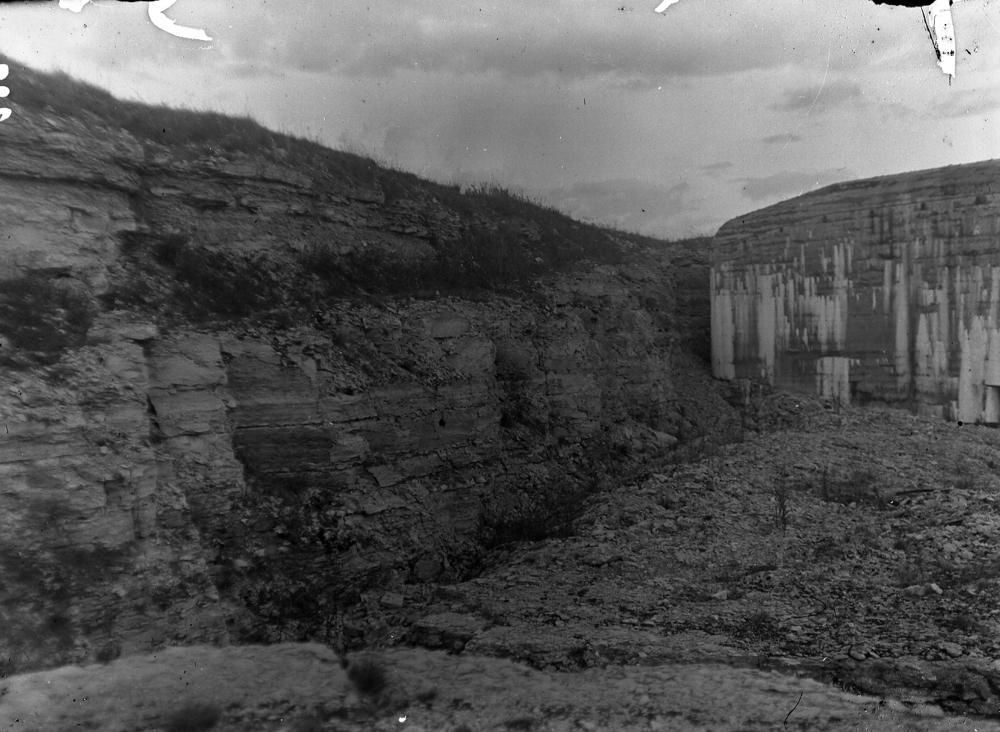
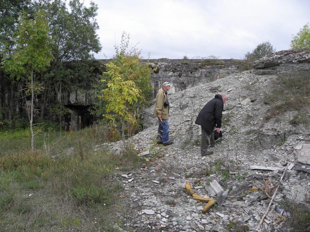
| Location remarks | Tallinn-Keila mnt 18. km, maanteest 150-200 m lääne pool; koordinaadid mõõdetud blindaaži esisel läänepoolsel nõlval. |
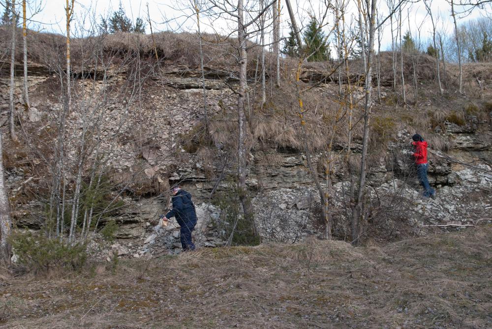
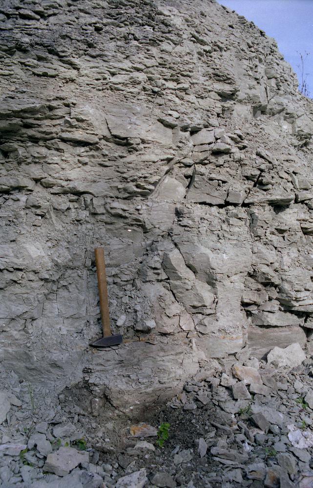
| Strat. top | Haljala Stage |
| Strat. base | Kukruse Stage |
| Remarks | Paljand on I maailmasõja-aegses Vene vägede kindlustusvööndi (rajatud 1912-18) tunnelites ja nende esistes kaevetes. Field Meeting…1990. Loc 2 : 1. |
| Date changed | 2018-03-28 |
Browse Geocollections
Partners


This site uses Matomo to analyze traffic and help us to improve your user experience. We process your IP address, viewed pages, load times and device information. This data is only processed by us.