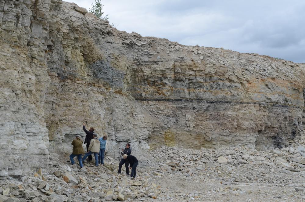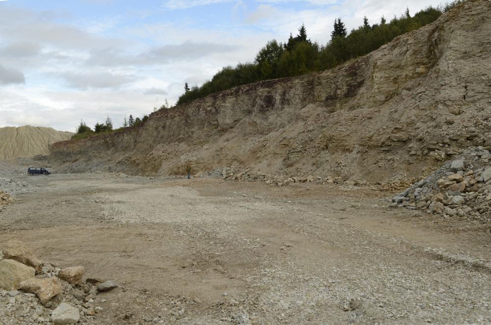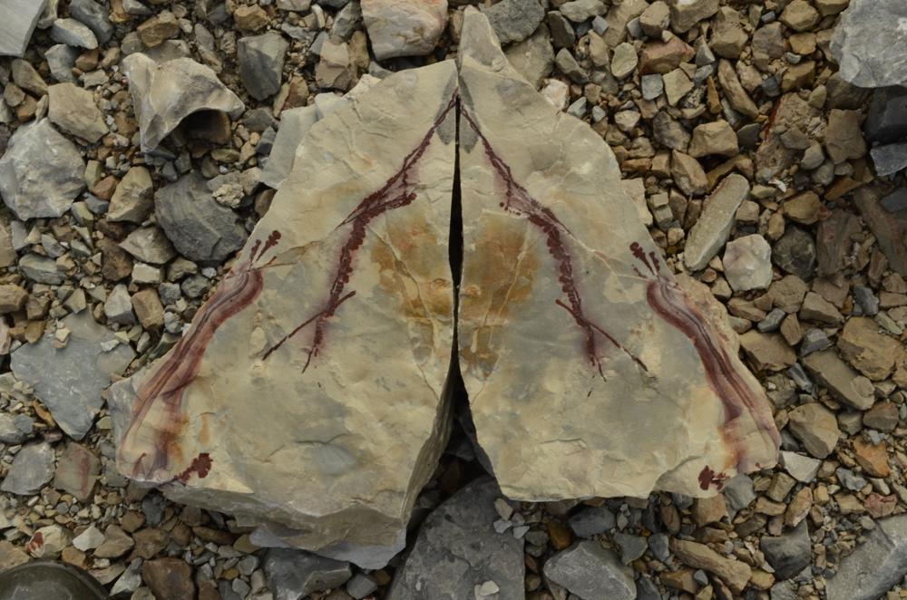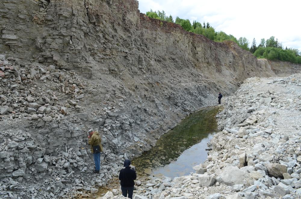


| Name | Kalana quarry |
| Type | surface mine |
| Country | Estonia |
| Parish | Pajusi |
| Settlement | Mõisaküla |
| Coordinates | 58.719925, 26.031804 |
| Coordinate precision | 1-10 m |
| Coord. method | Est Land Board map server |
| Coord. agent | Aaloe, Aasa |
| Location remarks | Uus Kalana karjäär, asub Põltsamaalt idas ja ca 1 km Kalana külakeskmest läänes. Kalana- Pisisaarde tee ääres. Klassikaline karjäär (vana karjäär) on 1-1,5 km kagu pool. EGF 3546. (The new Kalana quarry is located east of Põltsamaa and approx. 1 km west of Kalana village center. Near by Kalana- Pisisaarde road. The classic quarry (old quarry) is 1-1.5 km southeast. EGF 3546.) |
| Strat. top | Raikküla Stage |
| Strat. base | Raikküla Stage |
| Remarks | Kalana (Otisaare) paekarjäär - üldpindala 16,34 ha (kaevandab AS Kaltsiit, toodab killustikku). Ehituslubjakivi aktiivne varu on 1846.300 tm3. Aastatoodang 75.000 tonni. Uus karjäär rajati 1990-date alguses vanadest murdudest pisut kirdes, toodetakse killustikku. Uue karjääri kivim ei ole dolomiidistunud. (Kalana (Otisaare) limestone quarry - total area 16.34 ha (excavated by AS Kaltsiit, produces crushed stone). The active reserve of building limestone is 1846,300tm3, with an annual production of 75,000 tons. A new quarry was built in the early 1990s, a little to the northeast of the old quarries; crushed stone is produced. The rock of the new quarry is not dolomitized.) |
| Date added | 2009-08-06 |
| Date changed | 2024-07-17 |
Browse Geocollections
This site uses Matomo to analyze traffic and help us to improve your user experience. We process your IP address, viewed pages, load times and device information. This data is only processed by us.


