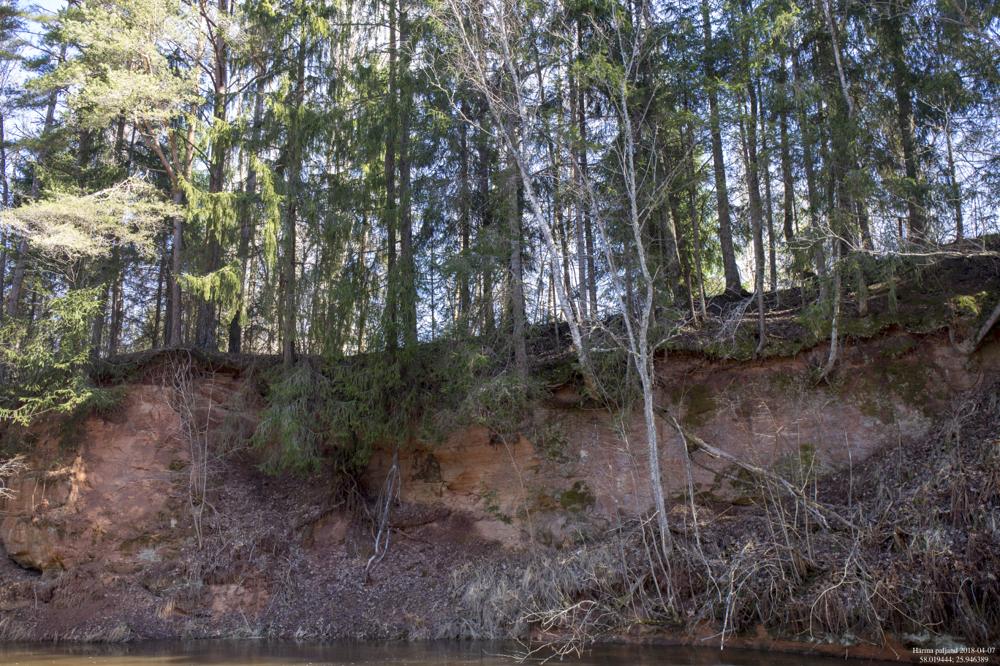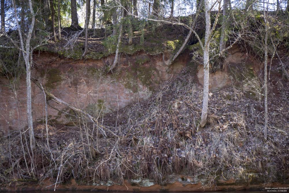


| Name | Härma outcrop, Õhne River |
| Type | outcrop |
| Country | Estonia |
| Parish | Helme |
| Coordinates | 58.019444, 25.946389 |
| Coordinate precision | 10-100 m |
| Coord. method | GPS |
| Coord. agent | Aaloe, Aasa |
| Location remarks | Õhne jõe paremal kaldal Tõrva linna keskmest 2-2,5 km Tartu (Pikasilla) suunas. Enne Härma bussipeatust keerata vasakule vanasse kruusaauku (praegu jäätmejaam) viivale teele, mis ületab Õhne jõe. Paljand on Õhne jõe paremal kaldal, sillast 100 m ülesvool |
| Strat. top | Burtnieki Stage |
| Strat. base | Burtnieki Stage |
| Remarks | Burtnieki lademe alumise osa (punase liivakivi), Härma kihtide stratotüüp. Kalade leiukoht |
| Date added | 2005-07-13 |
| Date changed | 2022-11-17 |
Browse Geocollections
This site uses Matomo to analyze traffic and help us to improve your user experience. We process your IP address, viewed pages, load times and device information. This data is only processed by us.


