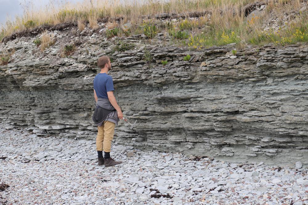

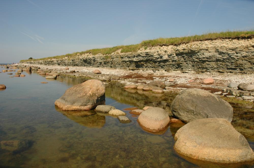

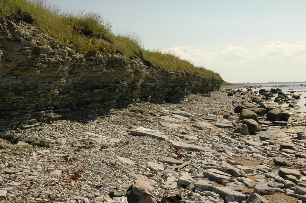
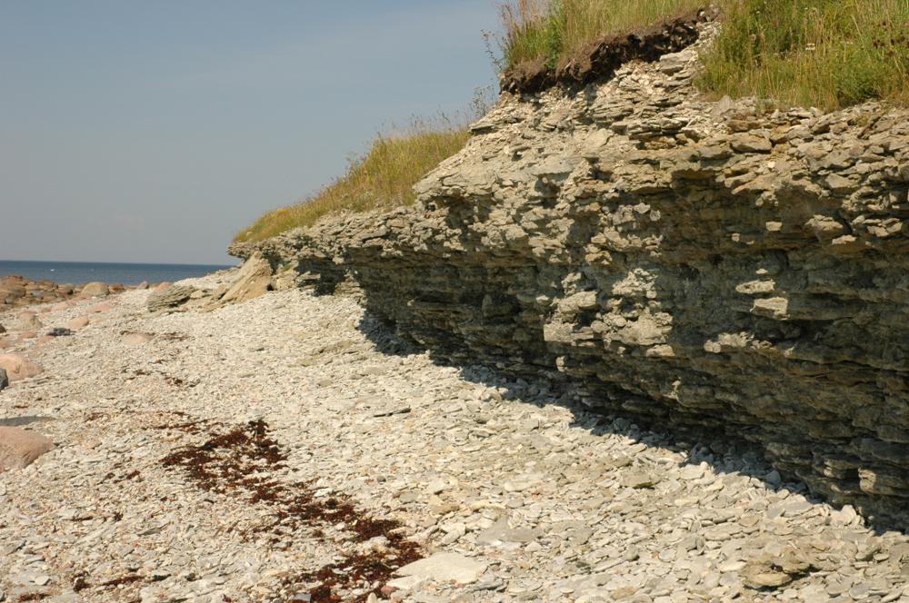
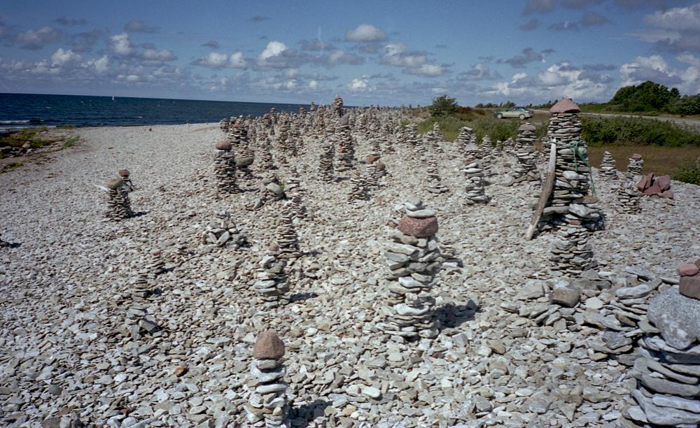

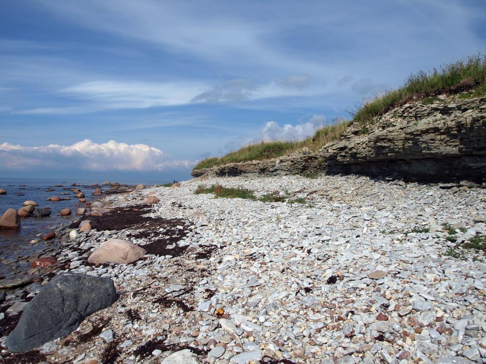

| Name | Ohesaare cliff |
| Type | outcrop |
| Country | Estonia |
| Parish | Torgu |
| Settlement | Ohessaare |
| Depth | 4.3 |
| Coordinates | 58.000405, 22.019223 |
| Coordinate system | EPSG:3301 |
| X | 6430509 |
| Y | 382889 |
| Coordinate precision | 1-10 m |
| Coord. method | Est Land Board map server |
| Coord. agent | Hints, Olle |
| Location remarks | Sõrve poolsaare läänerannikul Ohesaare küla lähedal. Panga pikkus 700 m, kõrgus 3,5 m; koordinaadid määratud neemiku tipust (On the west coast of the Sõrve peninsula, near the village of Ohesaare. Bank length 700 m, height 3.5 m; coordinates from the top of the designated headland) |
| Strat. top | Ohesaare Stage |
| Strat. base | Ohesaare Stage |
| Remarks | Geoloogilist läbilõiget 4,3 m, paljanduvad Ohesaare lademe kõige alumised kihid. Field Meeting, 1990. Loc 7 : 4. Pank on 1959.a-st looduskaitse all, 1996. a-st Ohesaare maastikukaitseala koosseisus. (Geological section 4.3 m, the lowest layers of the Ohesaare deposit are exposed. Field Meeting, 1990. Loc 7 : 4. The bank has been under nature protection since 1959, and part of the Ohesaare landscape protection area since 1996.) |
| Date added | 2001-02-27 |
| Date changed | 2024-08-19 |
Browse Geocollections
This site uses Matomo to analyze traffic and help us to improve your user experience. We process your IP address, viewed pages, load times and device information. This data is only processed by us.


