| Name | Rakvere |
| Type | geographical place or area |
| Country | Estonia |
| Parish | Rakvere |
| Settlement | Rakvere |
| Coordinates | 59.350026, 26.360694 |
| Coordinate system | EPSG:3301 |
| X | 6581470 |
| Y | 634275 |
| Coordinate precision | 1-10 km |
| Coord. method | Est Land Board map server |
| Coord. agent | Hints, Olle |
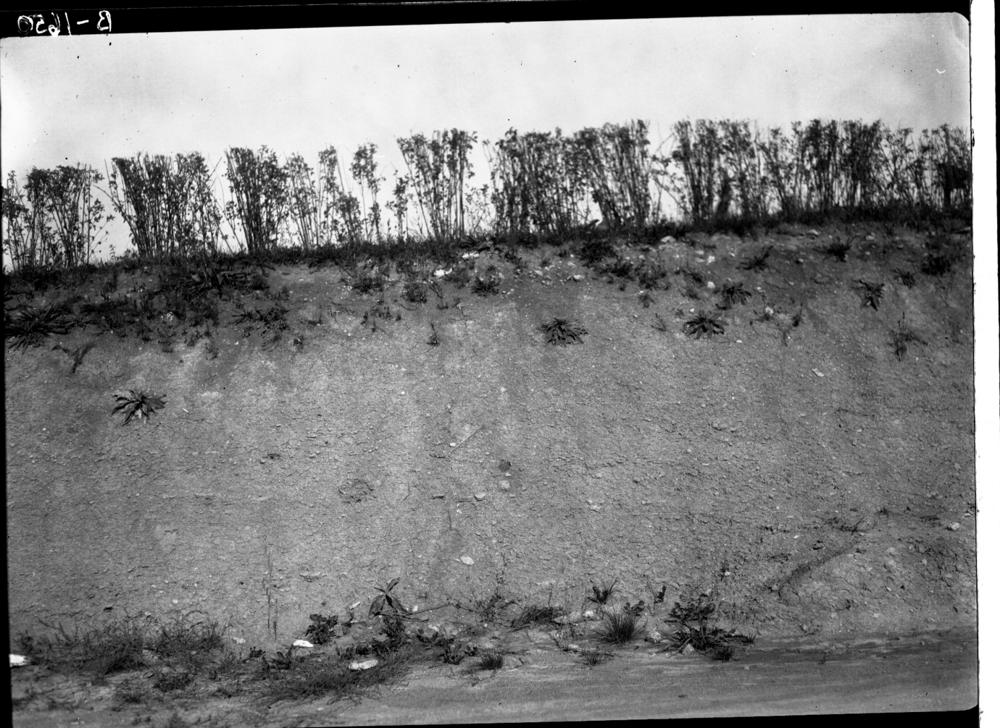
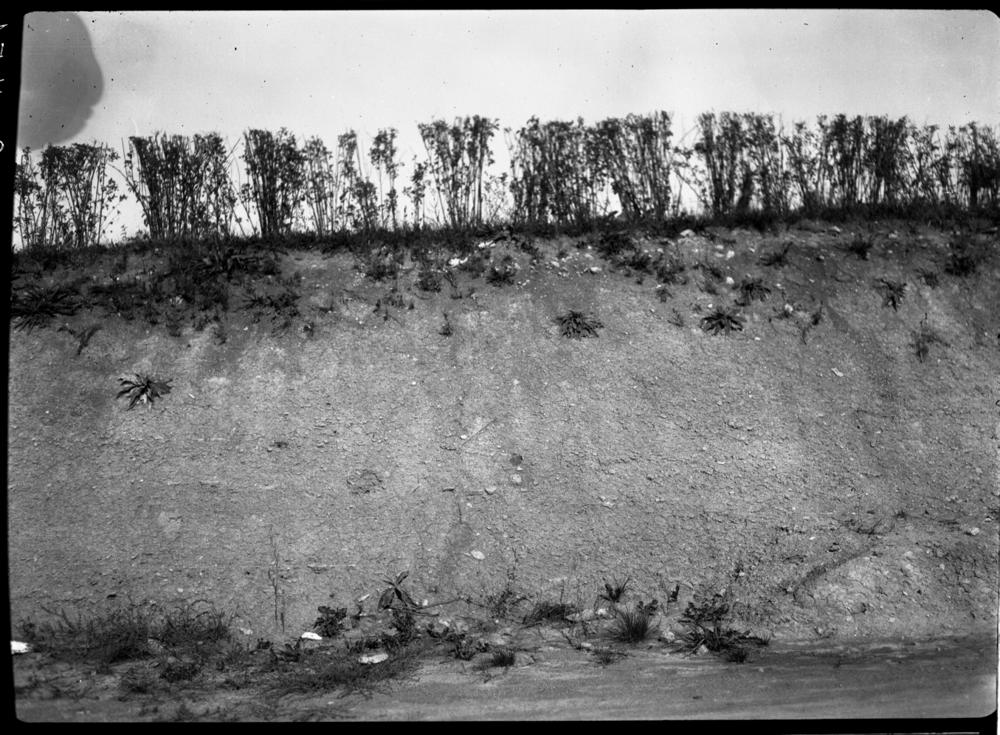
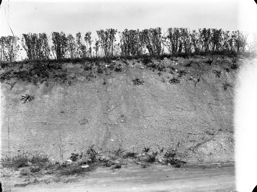
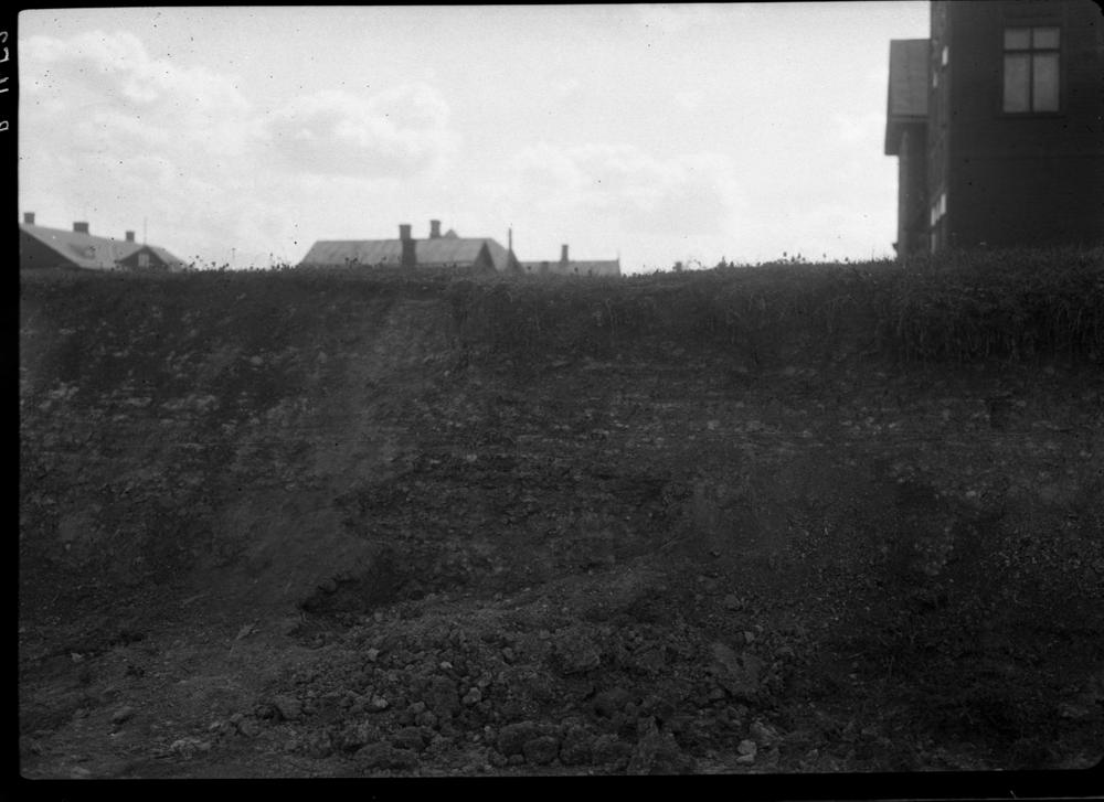
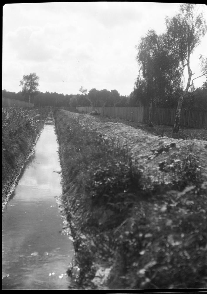
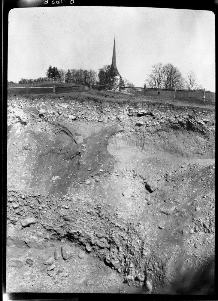
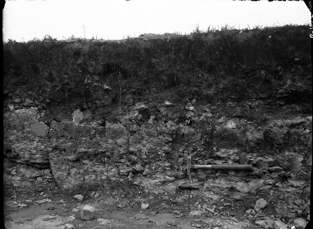
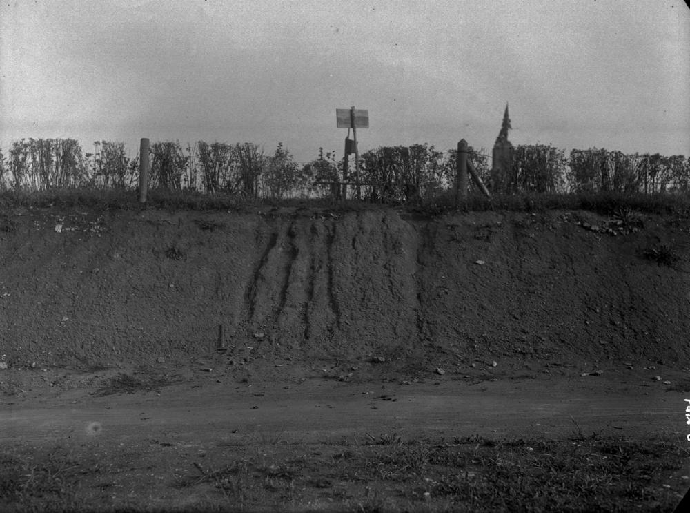
| Remarks | Coordinates from town centre, old locality designations probably include environs of the town, stratigraphically extending from Keila to Rakvere stages |
| Date added | 2001-02-26 |
| Date changed | 2024-11-23 |
Browse Geocollections
Partners


This site uses Matomo to analyze traffic and help us to improve your user experience. We process your IP address, viewed pages, load times and device information. This data is only processed by us.