
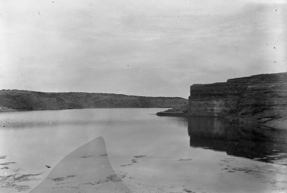
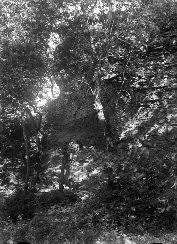
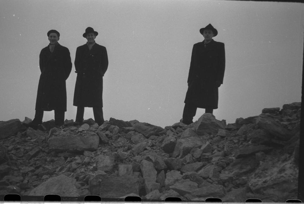


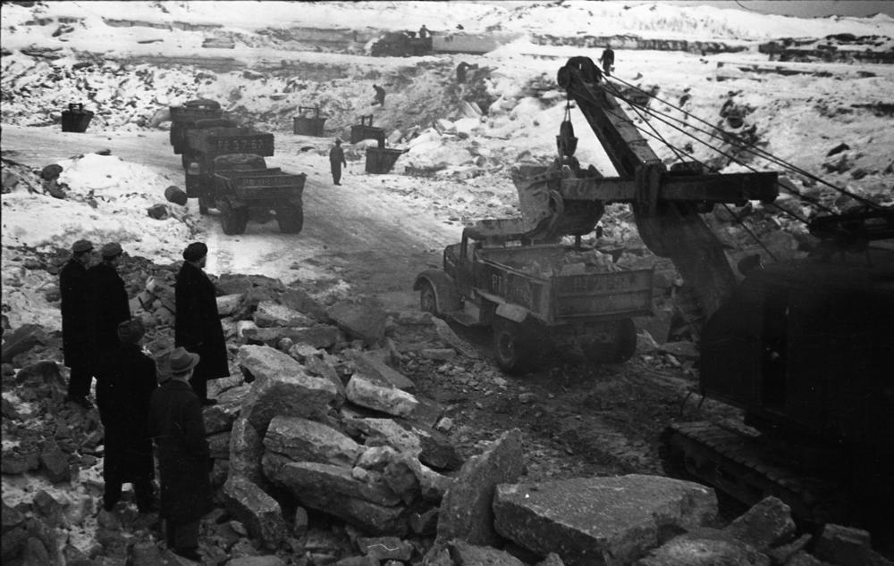

| Name | Lasnamäe quarry |
| Type | geographical place or area |
| Country | Estonia |
| Parish | TALLINN |
| Coordinates | 59.431411, 24.802711 |
| Coordinate precision | 10-100 m |
| Coord. method | Est Land Board map server |
| Coord. agent | Aaloe, Aasa |
| Location remarks | Koordinaadid Lasnamäe karjäärijärviku keskelt Laagna teest lõunas, praegune Paepark |
| Strat. top | Kukruse Stage |
| Strat. base | Lasnamägi Stage |
| Date added | 2001-02-23 |
| Date changed | 2025-10-17 |
Browse Geocollections
Partners


This site uses Matomo to analyze traffic and help us to improve your user experience. We process your IP address, viewed pages, load times and device information. This data is only processed by us.