
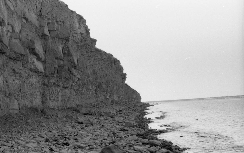


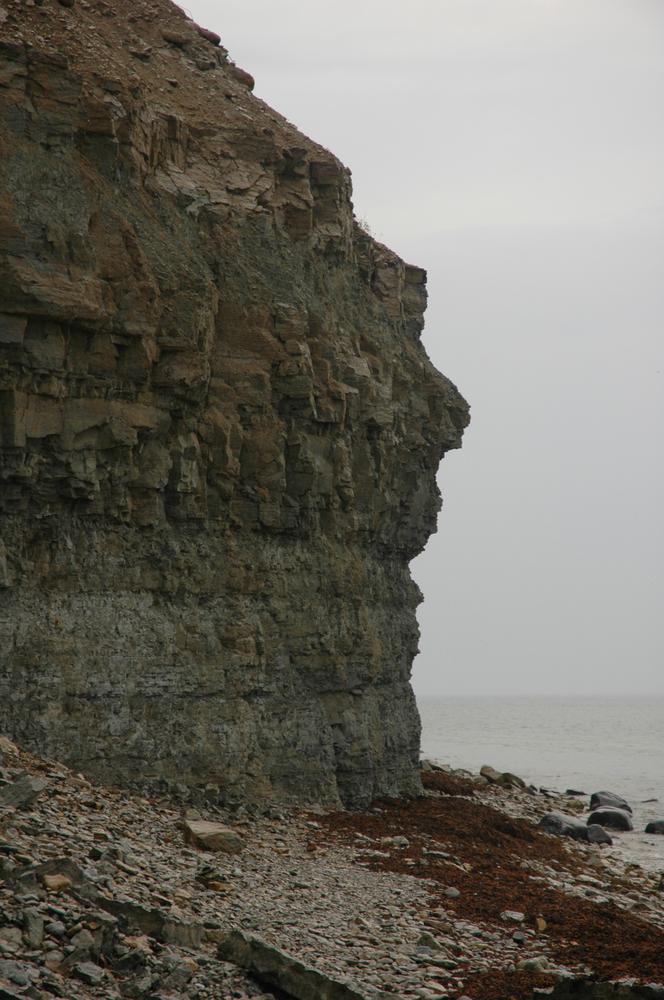

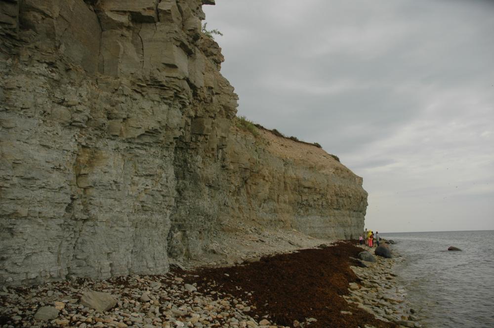
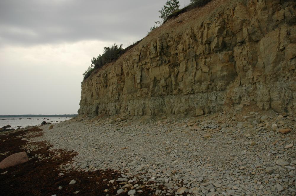

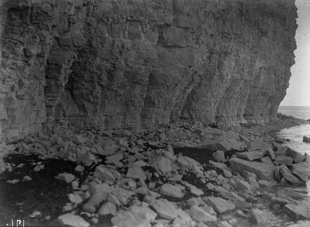
| Name | Panga cliff |
| Type | outcrop |
| Country | Estonia |
| Parish | Mustjala |
| Settlement | Panga |
| Depth | 19.8 |
| Coordinates | 58.570358, 22.287673 |
| Coordinate system | EPSG:3301 |
| X | 6493532 |
| Y | 400378 |
| Coordinate precision | 1-10 m |
| Coord. method | Est Land Board map server |
| Coord. agent | Hints, Olle |
| Location remarks | Panga külast loodesse ja läände jääval rannal. Suurim kõrgus 21,3 m + ca 10 m veealust panka. (On the beach northwest and west of Panga village. The highest height is 21.3 m + approx. 10 m underwater bank). |
| Strat. top | Jaagarahu Stage |
| Strat. base | Jaani Stage |
| Remarks | Jaani lademe Mustjala, Ninase ja Paramaja kihistik ja Jaagarahu lademe Kesselaiu kihistik. Field Meeting, 1990. Loc 6 : 1. Panga ulatus kuni 3 km. (The Mustjala, Ninase and Paramaja formations of the Jaani Stage and the Kesselaiu Formation of the Jaagarahu Stage. Field Meeting, 1990. Loc 6 : 1. Bank range up to 3 km) |
| Date changed | 2024-08-19 |
Browse Geocollections
Partners


This site uses Matomo to analyze traffic and help us to improve your user experience. We process your IP address, viewed pages, load times and device information. This data is only processed by us.