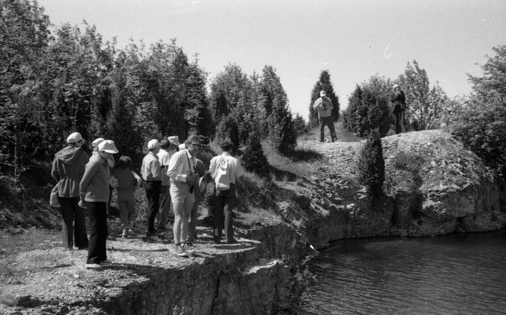


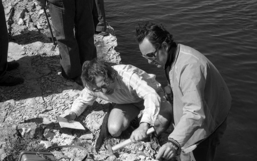

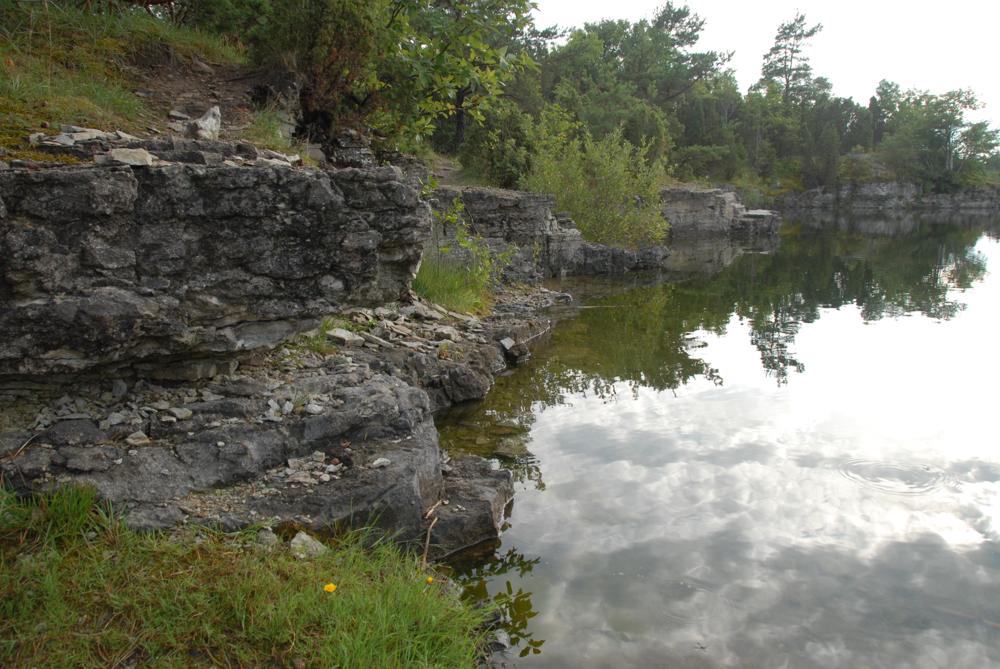
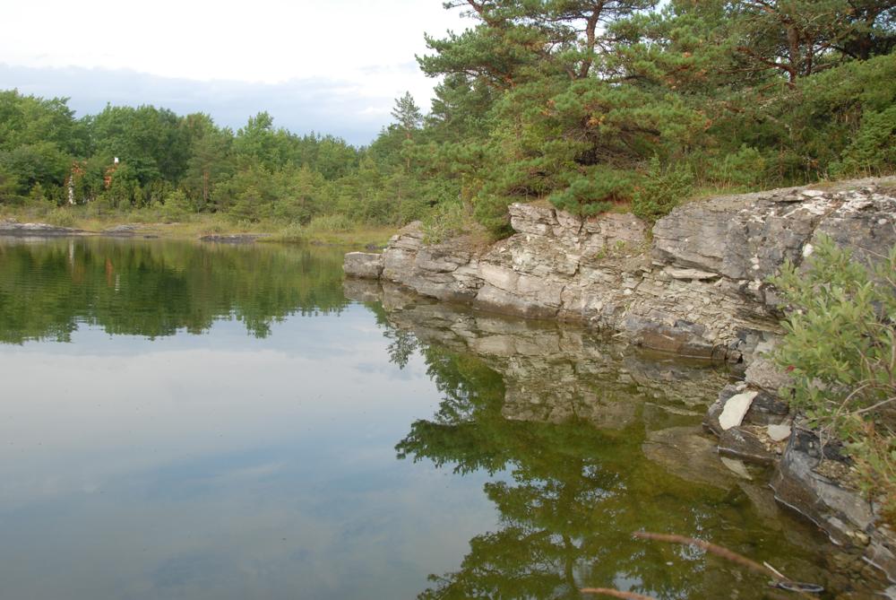
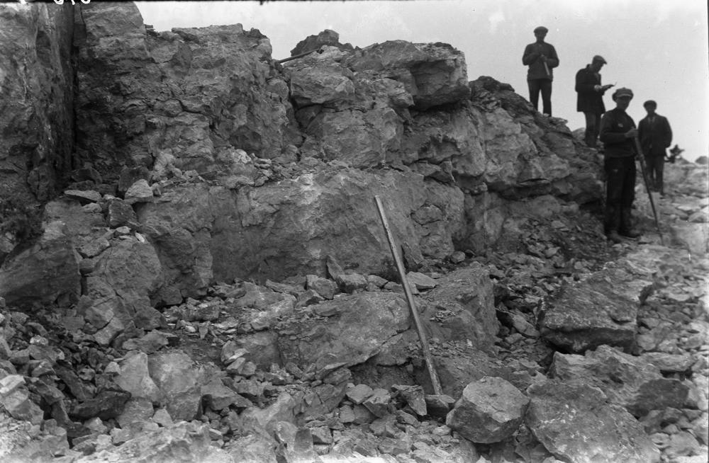
| Name | Jaagarahu quarries |
| Type | outcrop |
| Country | Estonia |
| Parish | Kihelkonna |
| Settlement | Kurevere |
| Coordinates | 58.407243, 21.966144 |
| Coordinate precision | 10-100 m |
| Coord. method | Est Land Board map server |
| Coord. agent | Aaloe, Aasa |
| Location remarks | 6 km Kihelkonnalt loodes, Jaagarahu sadamast põhja pool. Vanad murrud, veega täitunud, tööd lõpetatud. (6 km northwest of Kihelkonna, north of Jaagarahu harbour. Old fractures, filled with water, work completed.) |
| Strat. top | Jaagarahu Stage |
| Strat. base | Jaagarahu Stage |
| Remarks | Jaagarahu lademe ja kihistu stratotüüp.1930. a-tel murti puhast lubja- ja dolokivi ekspordiks Rootsi, Soome, Poolasse, Saksamaale jm. EÜR, Field Meeting, 1990. Loc 6 : 3. (Stratotype of Jaagarahu Stage and Formation. In the 1930s pure limestone and dolostone were quarried for export to Sweden, Finland, Poland, Germany, etc. EÜR, Field Meeting, 1990. Loc 6 : 3.) |
| Date changed | 2025-06-23 |
Browse Geocollections
This site uses Matomo to analyze traffic and help us to improve your user experience. We process your IP address, viewed pages, load times and device information. This data is only processed by us.


