
| Name | Purtse-Kõrgekalda river bank |
| Type | outcrop |
| Country | Estonia |
| Parish | Lüganuse |
| Settlement | Lüganuse |
| Coordinates | 59.36801, 27.0327 |
| Coordinate precision | 10-100 m |
| Coord. method | GPS |
| Coord. agent | Hints, Olle |
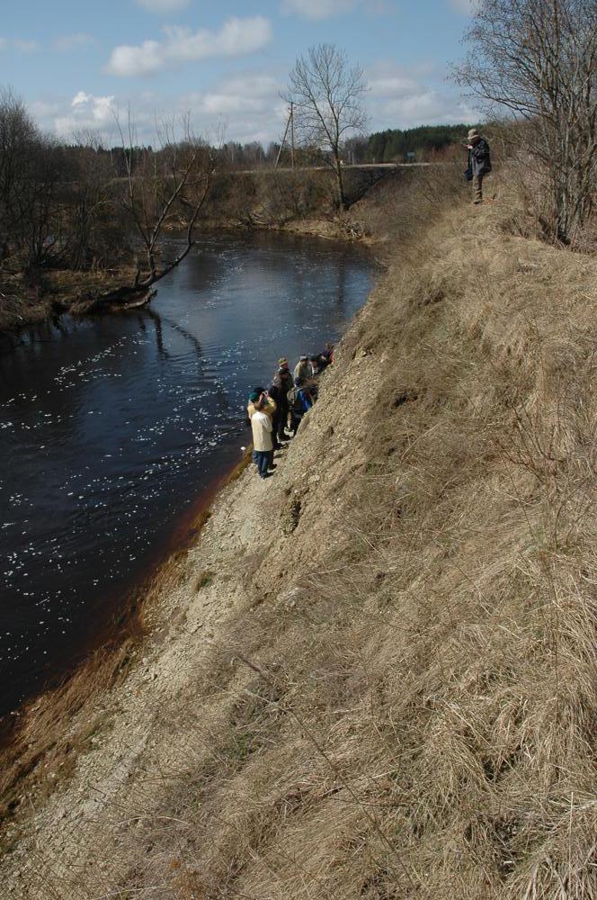
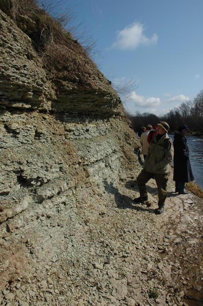
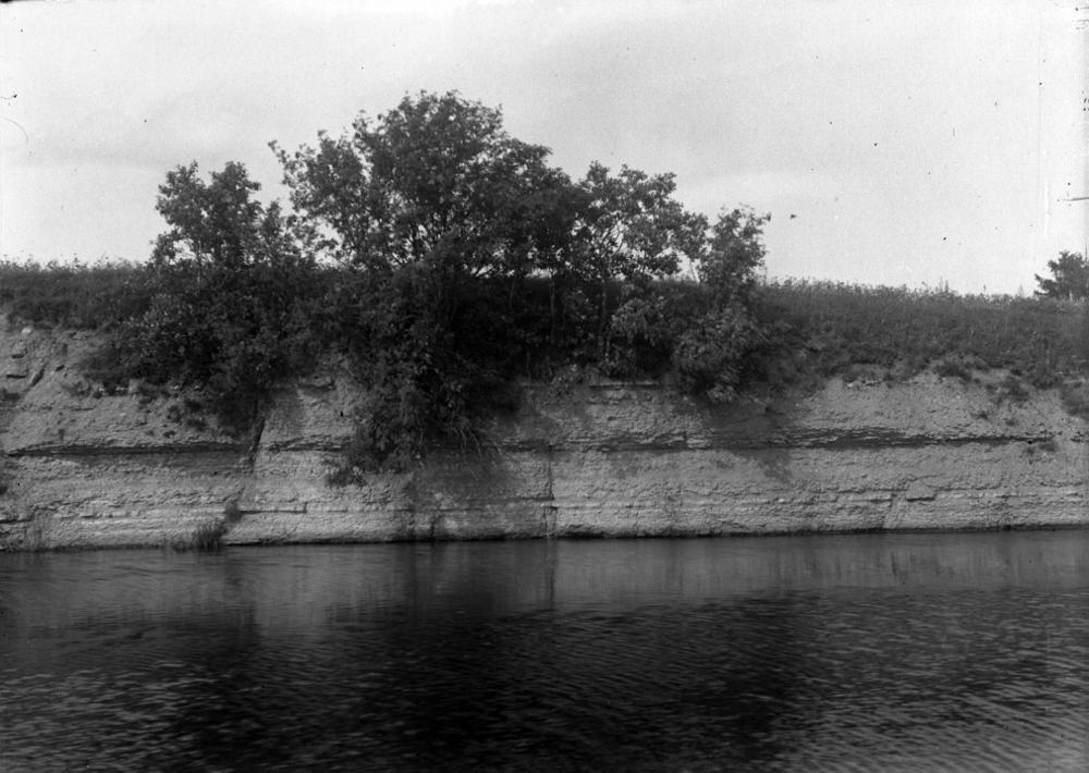
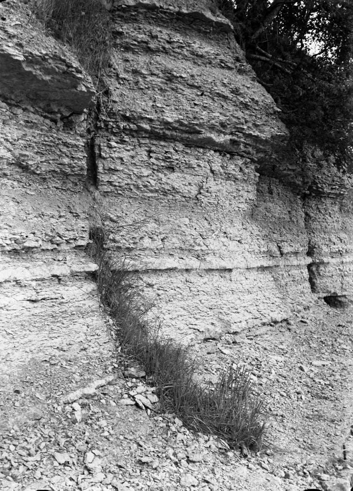
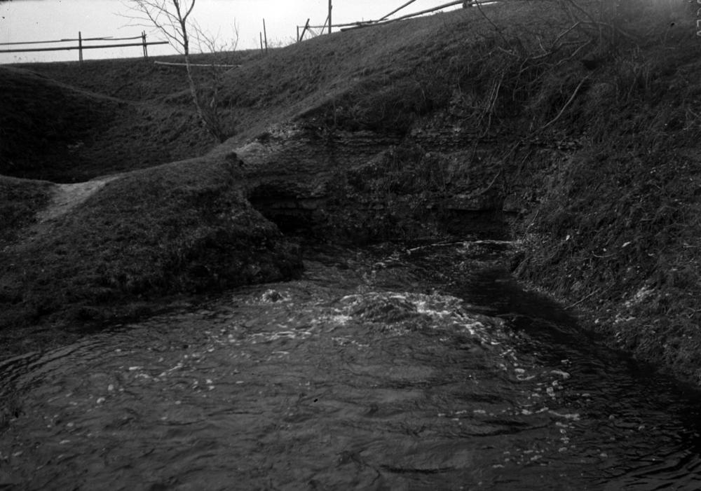
| Location remarks | Lüganuse küla edelapiiril, Purtse jõe vasak kallas, raudteesillast 0,7-1,8 km allavoolu. Kiviõli tee ja Männiku tee ristmikul, sellest ida pool. Kõrgekalda Purtse jõe kaldapaljand - Kõrgekalda kihistu (CIck) holostratotüüp (Uhaku lade, Ordoviitsiumi ladestu); |
| Strat. base | Uhaku Stage |
| Date changed | 2019-01-17 |
Browse Geocollections
Partners


This site uses Matomo to analyze traffic and help us to improve your user experience. We process your IP address, viewed pages, load times and device information. This data is only processed by us.