ID | Number | Locality | Depth (m) | Stratigraphy | Collector | Date collected | Image | |||
|---|---|---|---|---|---|---|---|---|---|---|
From | To | |||||||||
| 121399 | 121399 | Kaugatuma cliff | Kaugatuma Stage | Hints, Linda | 1989-06-04 | |||||
| 114919 | 114919 | Kaugatuma cliff | Kaugatuma Stage | Viira, Viive | 1973-07-08 | 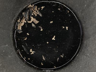 | ||||
| 114918 | 114918 | Kaugatuma cliff | Kaugatuma Stage | Viira, Viive | 1973-07-08 | 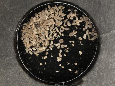 | ||||
| 114917 | 114917 | Kaugatuma cliff | Kaugatuma Stage | Viira, Viive | 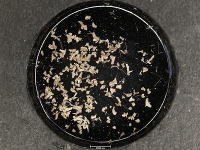 +4 +4 | |||||
| 114916 | 114916 | Kaugatuma cliff | Kaugatuma Stage | Viira, Viive | 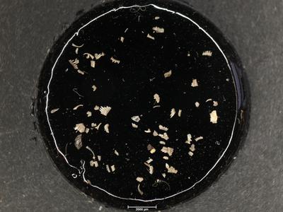 +4 +4 | |||||
| 103433 | 103433 | Kaugatuma cliff | Kaugatuma Stage | 1959-07-08 | ||||||
| 103432 | 103432 | Kaugatuma cliff | Kaugatuma Stage | 1959-07-08 | ||||||
| 103431 | 103431 | Kaugatuma cliff | Kaugatuma Stage | 1959-07-07 | ||||||
| 102732 | M-11020 | Kaugatuma cliff | Nestor, Viiu | |||||||
| 102731 | M-11019 | Kaugatuma cliff | Nestor, Viiu | |||||||
| 102730 | M-11018 | Kaugatuma cliff | Nestor, Viiu | 1986-08-16 | ||||||
| 97100 | 97100 | Kaugatuma cliff | Kaugatuma Stage | Aaloe, Ago | ||||||
| 97099 | 97099 | Kaugatuma cliff | Kaugatuma Stage | Aaloe, Ago | 1959-07-08 | |||||
| 71023 | 71023 | Kaugatuma cliff | Kaugatuma Stage | Aaloe, Ago | ||||||
| 70977 | 1 | Kaugatuma cliff | Kaugatuma Stage | Aaloe, Ago | 1959-07-08 | |||||
| 69799 | 69799 | Kaugatuma cliff | Kaugatuma Stage | Jürgenson, Erika | ||||||
| 68048 | 68048 | Kaugatuma cliff | Kaugatuma Stage | Einasto, Rein | 1992-07-31 | |||||
| 68047 | 68047 | Kaugatuma cliff | Kaugatuma Stage | Einasto, Rein | 1992-07-31 | |||||
| 67832 | 67832 | Kaugatuma cliff | Kaugatuma Stage | Klaamann, Einar | ||||||
| 67831 | 67831 | Kaugatuma cliff | Kaugatuma Stage | Klaamann, Einar | ||||||
| 67830 | 67830 | Kaugatuma cliff | Kaugatuma Stage | Klaamann, Einar | ||||||
| 67829 | 67829 | Kaugatuma cliff | Kaugatuma Stage | Klaamann, Einar | ||||||
| 67828 | 67828 | Kaugatuma cliff | Kaugatuma Stage | Klaamann, Einar | ||||||
| 66925 | 66925 | Kaugatuma cliff | Kaugatuma Stage | Märss | ||||||
| 66924 | 66924 | Kaugatuma cliff | Kaugatuma Stage | Märss | ||||||
Browse Geocollections
Partners


This site uses Matomo to analyze traffic and help us to improve your user experience. We process your IP address, viewed pages, load times and device information. This data is only processed by us.