

| Name | Kaugatuma cliff |
| Type | outcrop |
| Country | Estonia |
| Parish | Salme |
| Settlement | Kaugatoma |
| Depth | 2.5 |
| Coordinates | 58.12036, 22.19053 |
| Coordinate precision | 10-100 m |
| Coord. method | GPS |
| Coord. agent | Hints, Olle |
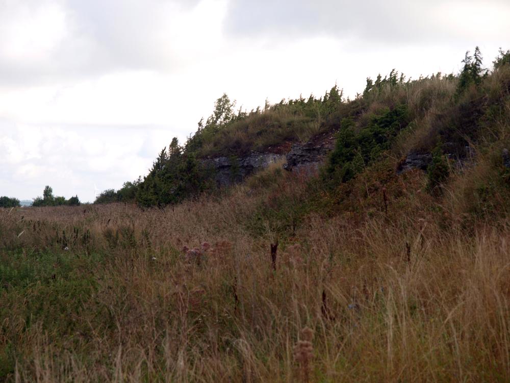
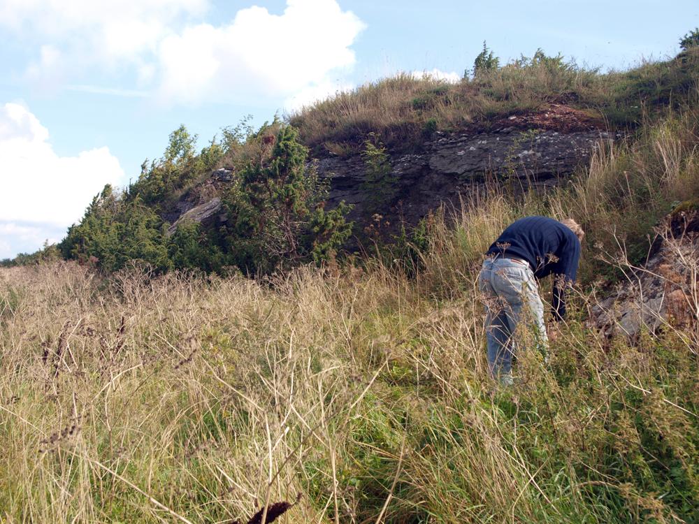
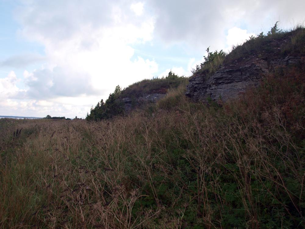
| Location remarks | Sõrve poolsaare läänerannal, Salme külast 7 km edela pool, ca 100 m rannast. Panga pikkus 125 m, kõrgus 2,5 m. L. Põlma 1985. a siluristide eksped märkmetes jagab Kaugatuma panga kolme ossa: Kaugatuma I - kõige põhjapoolsem osa - meri pangast kaugel. (On the west coast of the Sõrve peninsula, 7 km southwest of the village of Salme, approx. 100 m from the beach. The length of the bank is 125 m, the height is 2.5 m. L. Põlma, in his 1985 Silurian exped notes, divides Kaugatama Bank into three parts: Kaugatama I - the northernmost part - far from the sea bank.) |
| Strat. top | Kaugatuma Stage |
| Strat. base | Kaugatuma Stage |
| Remarks | Kaugatuma lademe stratotüüp. Field Meeting, 1990. Loc 7 : 3. (Stratotype of the Kaugatuma Stage. Field Meeting, 1990. Loc 7 : 3.) |
| Date changed | 2024-05-21 |
Browse Geocollections
Partners


This site uses Matomo to analyze traffic and help us to improve your user experience. We process your IP address, viewed pages, load times and device information. This data is only processed by us.