

| Nimi | Kaugatuma pank |
| Tüüp | paljand |
| Riik | Eesti |
| Vald | Salme |
| Asutusüksus | Kaugatoma küla |
| Sügavus | 2.5 |
| Koordinaadid | 58.12036, 22.19053 |
| Koordinaatide täpsus | 10-100 m |
| Koord. meetod | GPS |
| Koord. määraja | Hints, Olle |
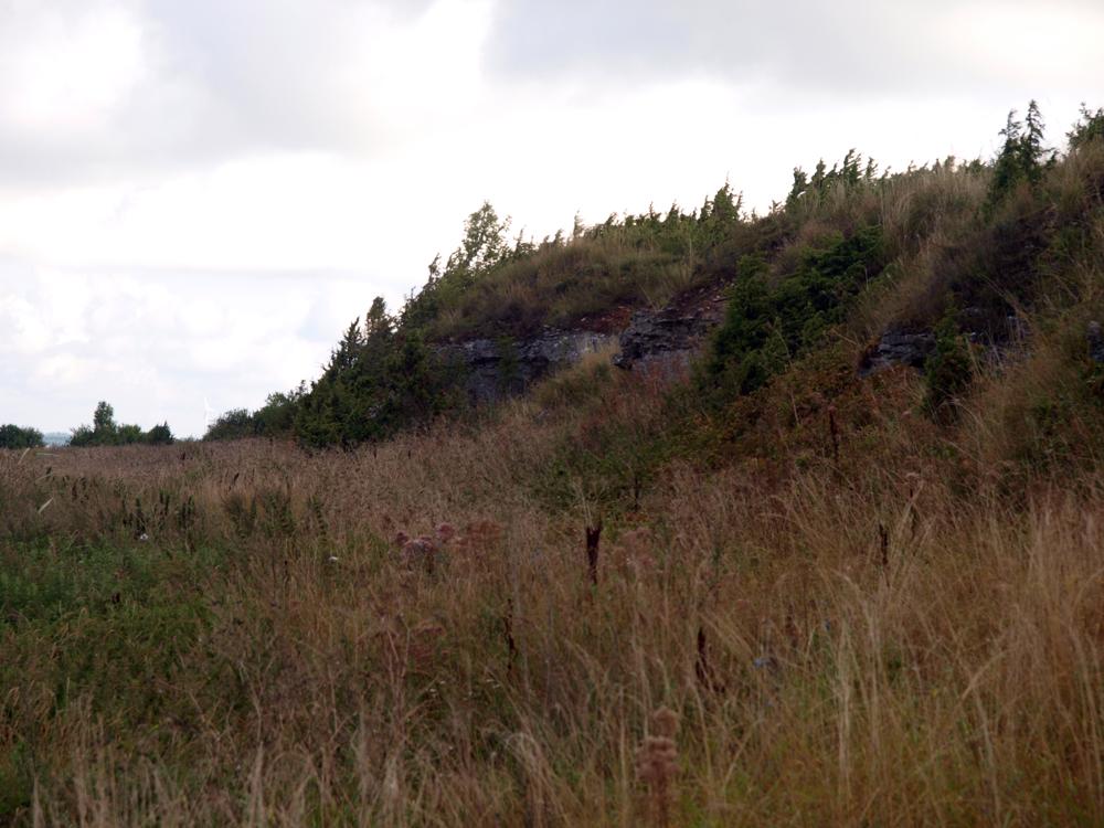
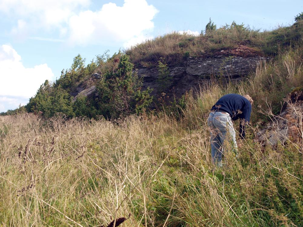
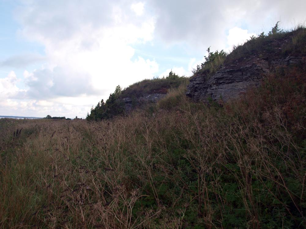
| Asukoha kirjeldus | Sõrve poolsaare läänerannal, Salme külast 7 km edela pool, ca 100 m rannast. Panga pikkus 125 m, kõrgus 2,5 m. L. Põlma 1985. a siluristide eksped märkmetes jagab Kaugatuma panga kolme ossa: Kaugatuma I - kõige põhjapoolsem osa - meri pangast kaugel. (On the west coast of the Sõrve peninsula, 7 km southwest of the village of Salme, approx. 100 m from the beach. The length of the bank is 125 m, the height is 2.5 m. L. Põlma, in his 1985 Silurian exped notes, divides Kaugatama Bank into three parts: Kaugatama I - the northernmost part - far from the sea bank.) |
| Strat. algus | Kaugatuma lade |
| Strat. lõpp | Kaugatuma lade |
| Lisainfo | Kaugatuma lademe stratotüüp. Field Meeting, 1990. Loc 7 : 3. (Stratotype of the Kaugatuma Stage. Field Meeting, 1990. Loc 7 : 3.) |
| Kirje muudetud | 2024-05-21 |
Sirvi e-Maapõues
Partnerid


See lehekülg kasutab Matomo, et analüüsida liiklust ja aidata meil lehekülje kasutajakogemust parandada. Me töötleme teie IP aadressi, vaadatud lehti, laadimisaegu ja seadme informatsiooni. Neid andmeid töötleme ainult meie.