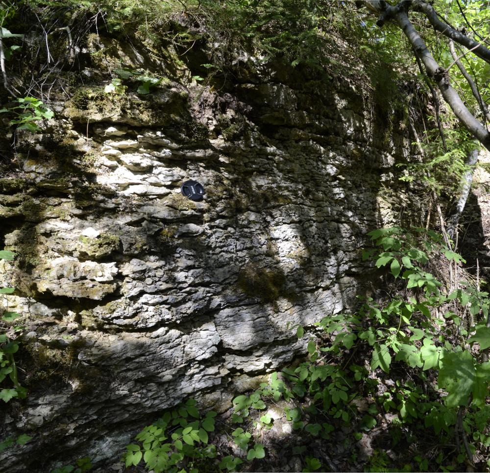


| Name | Keila quarry |
| Type | outcrop |
| Country | Estonia |
| Parish | Keila |
| Settlement | Keila |
| Depth | 3 |
| Coordinates | 59.314046, 24.379978 |
| Coordinate system | EPSG:3301 |
| X | 6575133 |
| Y | 521530 |
| Coordinate precision | 1-10 m |
| Coord. method | Est Land Board map server |
| Coord. agent | Hints, Olle |
| Location remarks | Keila- Vasalemma mnt ja Tallinn-Paldiski raudtee ristumiskohast ca 1100 m loodes |
| Strat. top | Keila Stage |
| Strat. base | Keila Stage |
| Remarks | Paemurd oli teada juba Fr. Schmidtil (1881). Praegu suures osas metsastunud. Selle paemurru serval on Keila murru puurauk. Stratotüüp |
| Date changed | 2022-02-03 |
Browse Geocollections
Partners


This site uses Matomo to analyze traffic and help us to improve your user experience. We process your IP address, viewed pages, load times and device information. This data is only processed by us.