
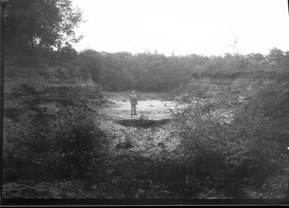
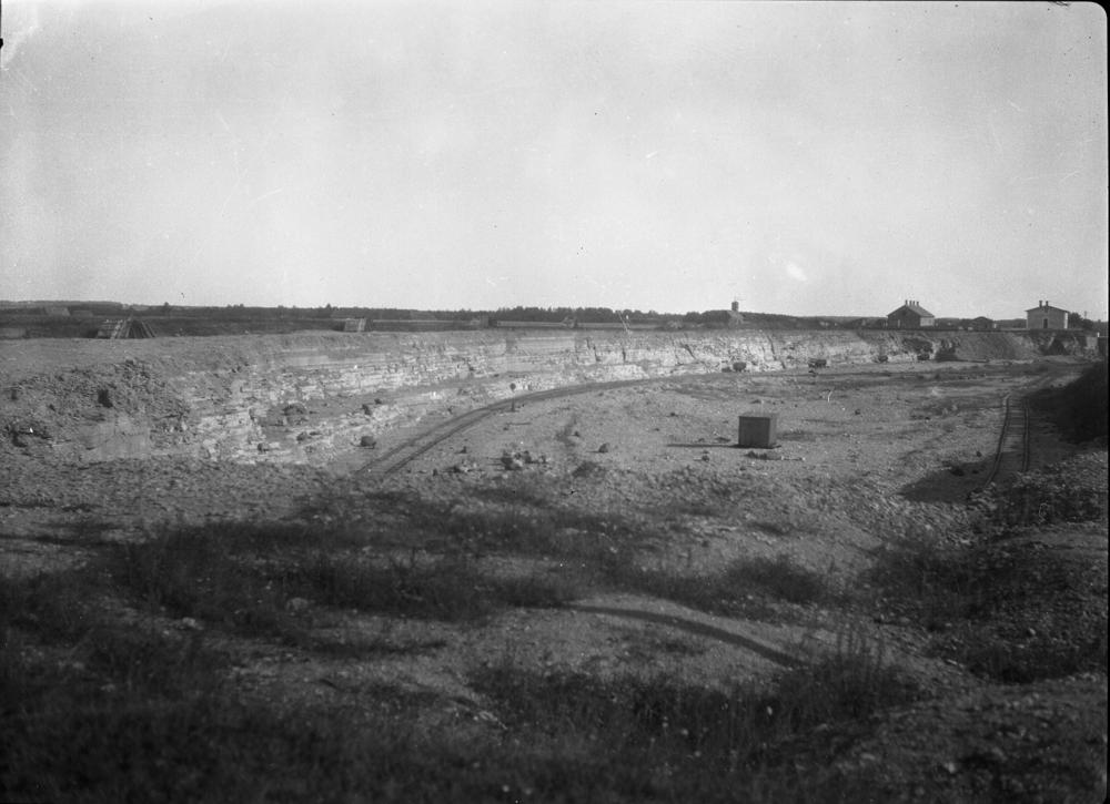
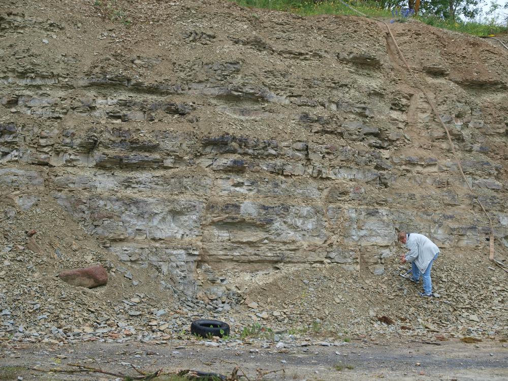
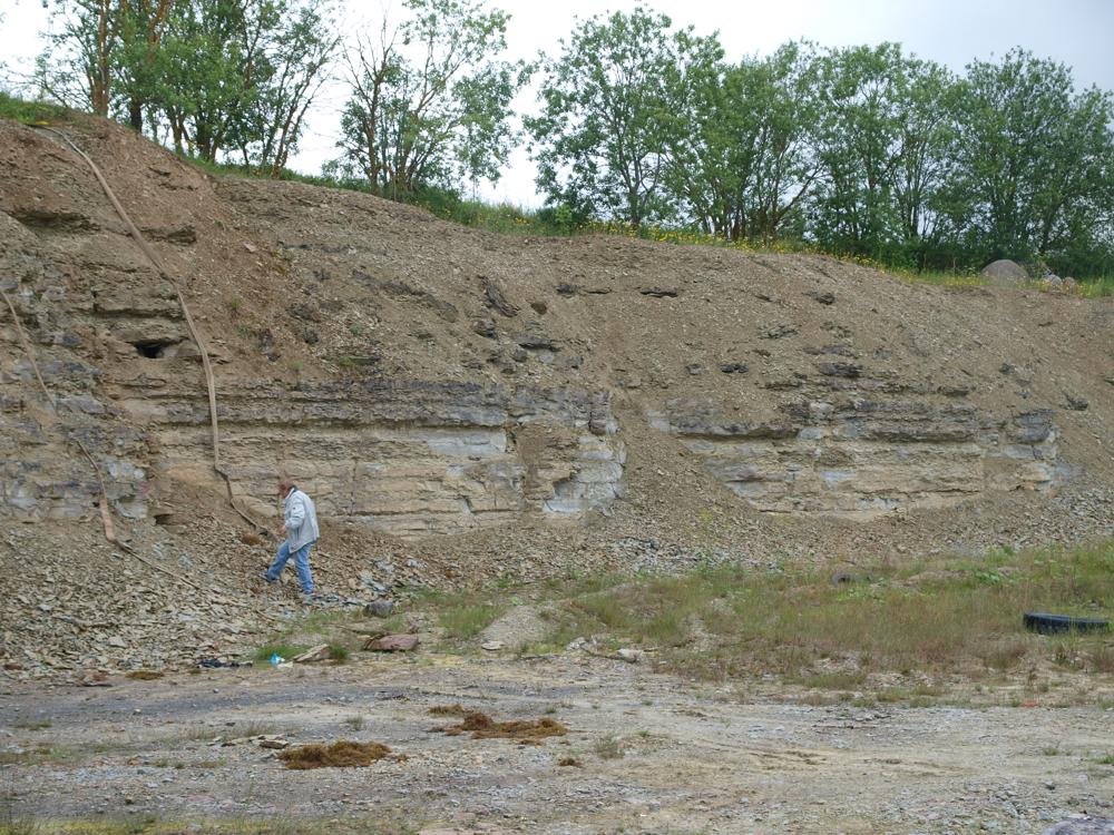
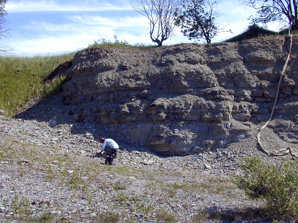
| Name | Aluvere quarry |
| Type | outcrop |
| Country | Estonia |
| Parish | Sõmeru |
| Settlement | Roodevälja |
| Depth | 4.6 |
| Coordinates | 59.381012, 26.404251 |
| Coordinate system | EPSG:3301 |
| X | 6585008 |
| Y | 636627 |
| Coordinate precision | 1-10 m |
| Coord. method | Est Land Board map server |
| Coord. agent | Hints, Olle |
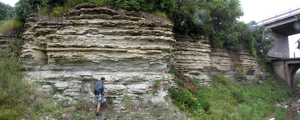
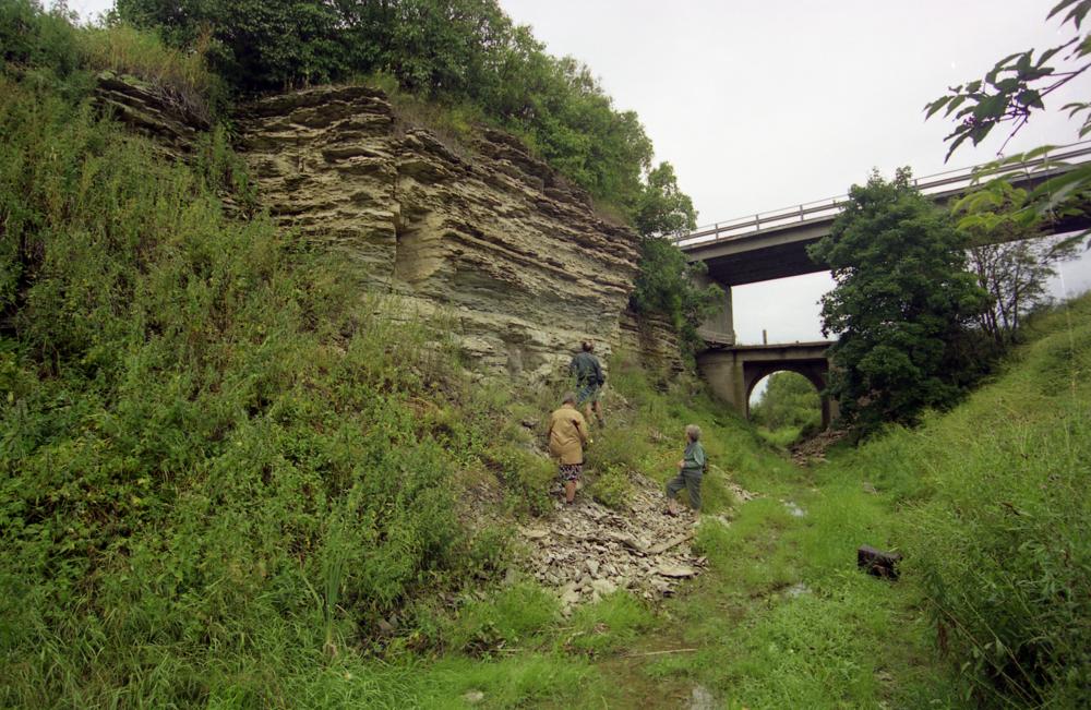
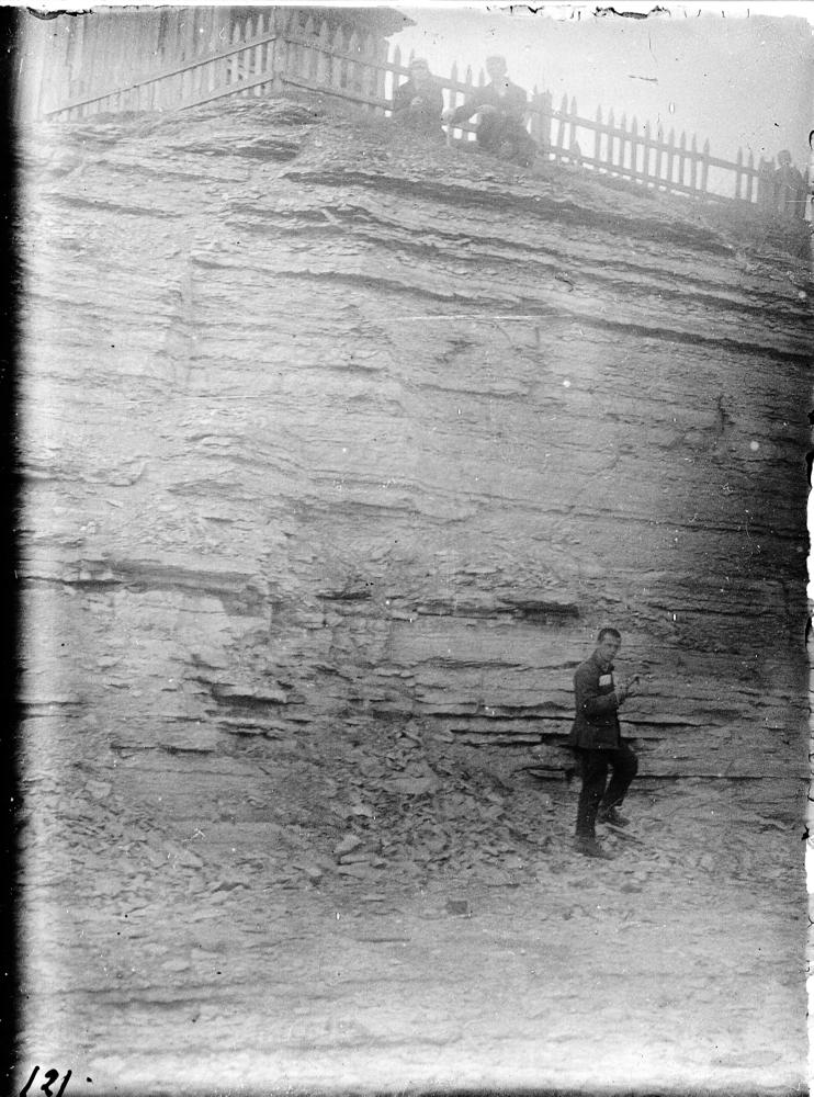
| Location remarks | Ca 2 km Rakverest kirdes. Koordinaadid määratud murdu allasõidu tee otsas. Aluvere kihistiku holostratotüüp (Jõhvi kihistu, Viru ladestik, Ordoviitsiumi ladestu) |
| Strat. top | Jõhvi Substage |
| Strat. base | Idavere Substage |
| Remarks | Paremini paljanduv osa on raudteeviaduktist lõunasse jääv murru perv elumaja kohal. Idavere lademe hüpostratotüüp |
| Date changed | 2024-02-28 |
Browse Geocollections
Partners


This site uses Matomo to analyze traffic and help us to improve your user experience. We process your IP address, viewed pages, load times and device information. This data is only processed by us.