Number | Name | Locality | Depth (m) | Stratigraphy | Image | |||
|---|---|---|---|---|---|---|---|---|
From | To | |||||||
| GIT 207-573 | Kautla 7034 borehole | 94.38 | 94.43 | Oandu Stage | ||||
| GIT 676-231 | Howellites wesenbergensis | Kautla 7034 borehole | Oandu Stage | |||||
| GIT 675-1100 | Sowerbyella (Sowerbyella) | Kautla 7034 borehole | 93.80 | 93.86 | Oandu Stage | |||
| GIT 676-225 | Howellites wesenbergensis | Kautla 7034 borehole | 93.80 | 93.86 | Oandu Stage | |||
| GIT 676-223 | Howellites wesenbergensis | Kautla 7034 borehole | 94.00 | 94.04 | Oandu Stage | |||
| GIT 676-226 | Howellites wesenbergensis | Kautla 7034 borehole | 93.80 | 93.86 | Oandu Stage | |||
| GIT 676-224 | Howellites wesenbergensis | Kautla 7034 borehole | 93.80 | 93.86 | Oandu Stage | |||
| GIT 676-222 | Howellites wesenbergensis | Kautla 7034 borehole | 94.00 | 94.04 | Oandu Stage | |||
| GIT 676-221 | Howellites wesenbergensis | Kautla 7034 borehole | 94.43 | 94.46 | Oandu Stage | |||
| GIT 156-998-2 | Craniata | Kautla 7034 borehole | 93.27 | 93.30 | Oandu Stage | |||
| GIT 156-998-1 | Trypanites | Kautla 7034 borehole | 93.27 | 93.30 | Oandu Stage | 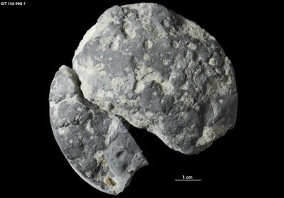 | ||
| GIT 660-291 | Belonechitina micracantha | Kautla 7034 borehole | 120.35 | 120.39 | Idavere Substage | |||
| GIT 156-998 | limestone | Kautla 7034 borehole | 93.27 | 93.30 | Oandu Stage | 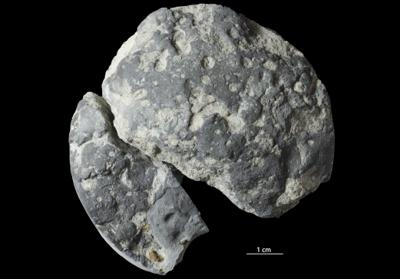 +2 +2 | ||
Browse Geocollections
Partners


This site uses Matomo to analyze traffic and help us to improve your user experience. We process your IP address, viewed pages, load times and device information. This data is only processed by us.