Locality
Tordalen valley, Fiskekløfta, Spitzbergen

| Name | Tordalen valley, Fiskekløfta, Spitzbergen |
| Type | outcrop |
| Country | Norway |
| Coordinates | 78.632171, 16.068192 |
| Coordinate precision | 1-10 km |
| Coord. method | map |
| Coord. agent | Isakar, Mare |
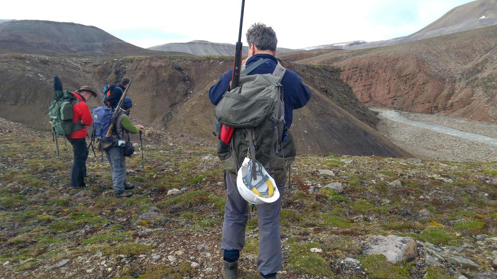
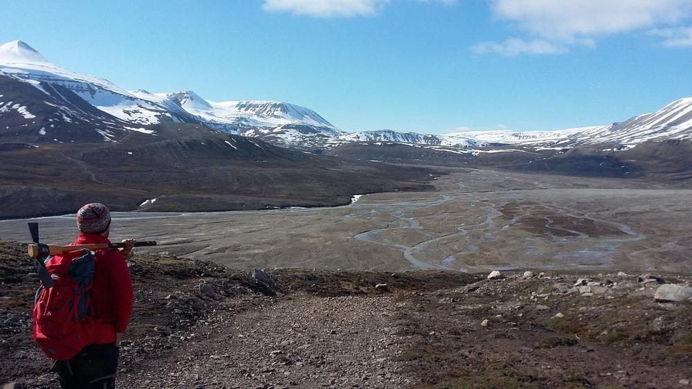
| Location remarks | Fiskekløfta (also known as Fish Cleft or Fish Ravine) black shale full of ironstone nodules rich in fossil fish locality 1 |
| Strat. base | Devonian |
| Date added | 2022-02-18 |
| Date changed | 2022-02-18 |
Browse Geocollections
Partners


This site uses Matomo to analyze traffic and help us to improve your user experience. We process your IP address, viewed pages, load times and device information. This data is only processed by us.