


| Name | Narva openpit, western drainage pit |
| Type | outcrop |
| Country | Estonia |
| Parish | Vaivara |
| Settlement | Mustanina |
| Elevation | 50.00 |
| Coordinates | 59.206755, 27.796763 |
| Coordinate precision | 10-100 m |
| Coord. method | GPS |
| Coord. agent | Antonovitš, Liina |
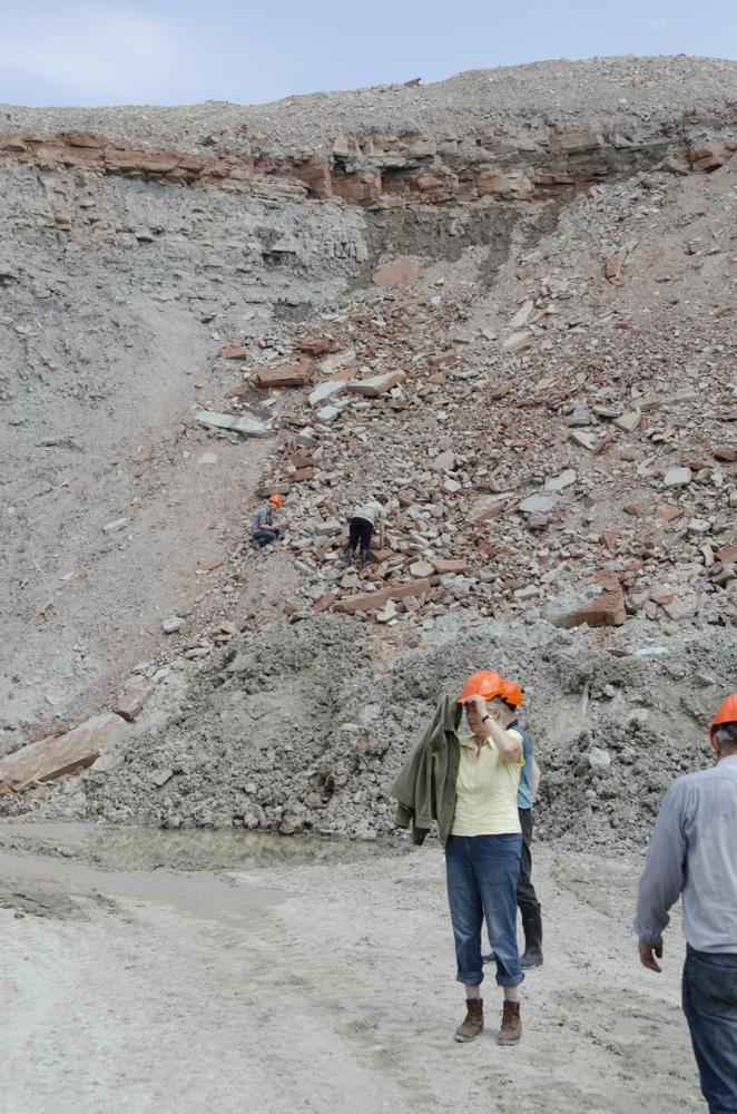
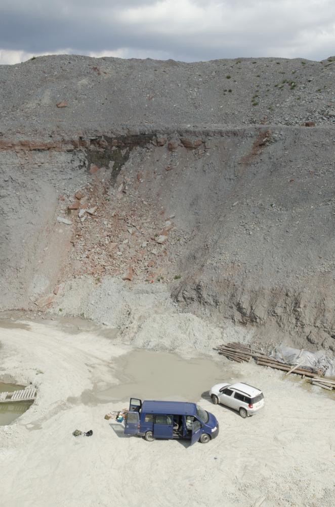
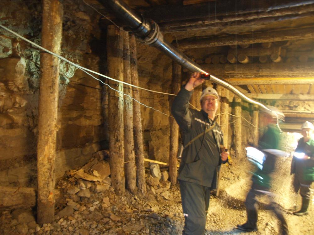
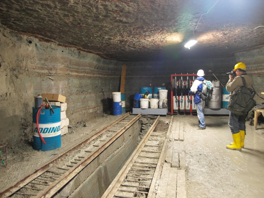
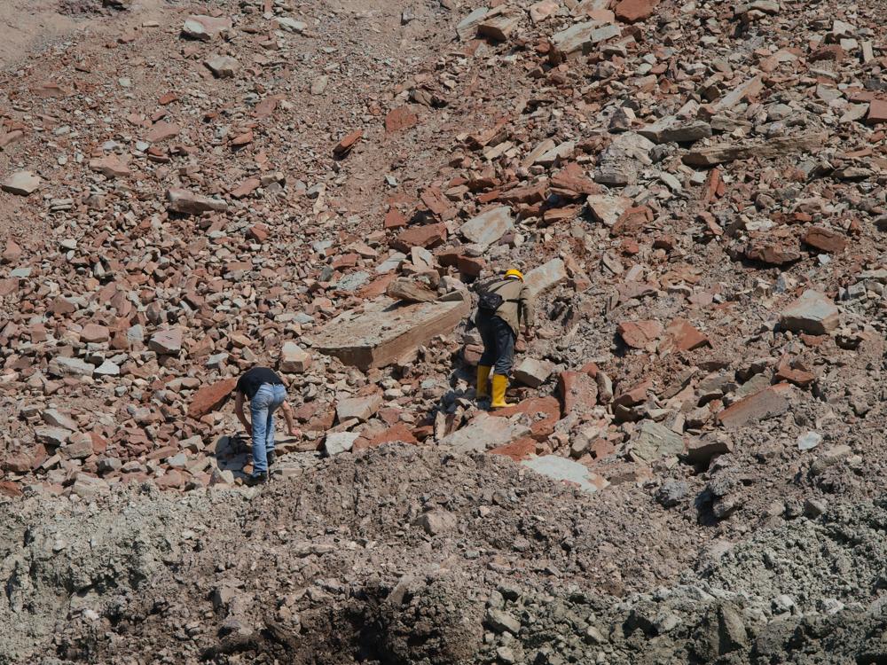
| Location remarks | Narva karjääri lõunaosa, maa-aluse vee ärajuhtimise kallakšahti avause juures. Šahtis avanevad Kukruse ja Uhaku lademe piirikihid. Samas rusukaldest kogutud Devoni kalafaunat. Uhaku/Kukruse piir põrandas, kaldšahtis Uhaku lade. |
| Strat. top | Narva Stage |
| Strat. base | Uhaku Stage |
| Remarks | Karjääri külastati 26.06.2013. (Kiipli, E. ja T.,Toom, U. ja K., Baranov, G., Aaloe, A., Paluveer, L.) |
| Date added | 2013-07-01 |
| Date changed | 2026-04-14 |
Browse Geocollections
Partners


This site uses Matomo to analyze traffic and help us to improve your user experience. We process your IP address, viewed pages, load times and device information. This data is only processed by us.