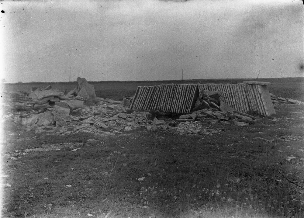
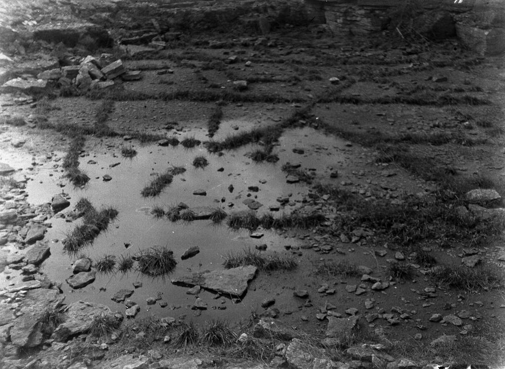
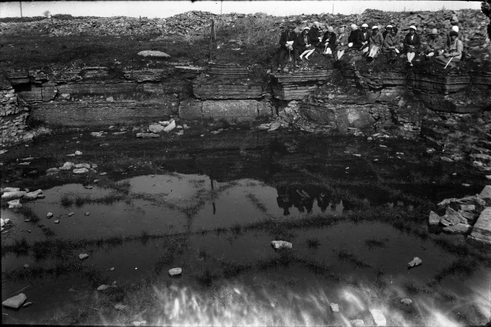
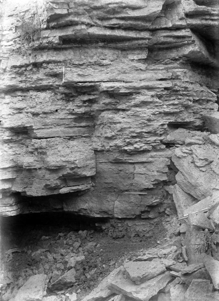
| Name | Iru quarry |
| Type | outcrop |
| Country | Estonia |
| Parish | TALLINN |
| Coordinates | 59.461833, 24.927825 |
| Coord. method | Est Land Board map server |
| Coord. agent | Aaloe, Aasa |
| Location remarks | Klindijärsaku juures, vana tuuleveski naabruses, põhjapool vana Tallinn-Narva maanteed |
| Strat. top | Lasnamägi Stage |
| Strat. base | Volkhov Stage |
| Remarks | Võimalik paemurru asukoht |
| Date added | 2013-02-15 |
| Date changed | 2018-12-11 |
Browse Geocollections
Partners


This site uses Matomo to analyze traffic and help us to improve your user experience. We process your IP address, viewed pages, load times and device information. This data is only processed by us.