
| Name | Sutlema quarry |
| Type | surface mine |
| Country | Estonia |
| Parish | Kohila |
| Settlement | Lümandu |
| Elevation | 60.00 |
| Coordinates | 59.174096, 24.619575 |
| Coordinate precision | 10-100 m |
| Coord. method | GPS |
| Coord. agent | Aaloe, Aasa |
| Location remarks | Hagerist ca 1.7 km põhja-loodes Hageri-Harutee mnt ääres. |
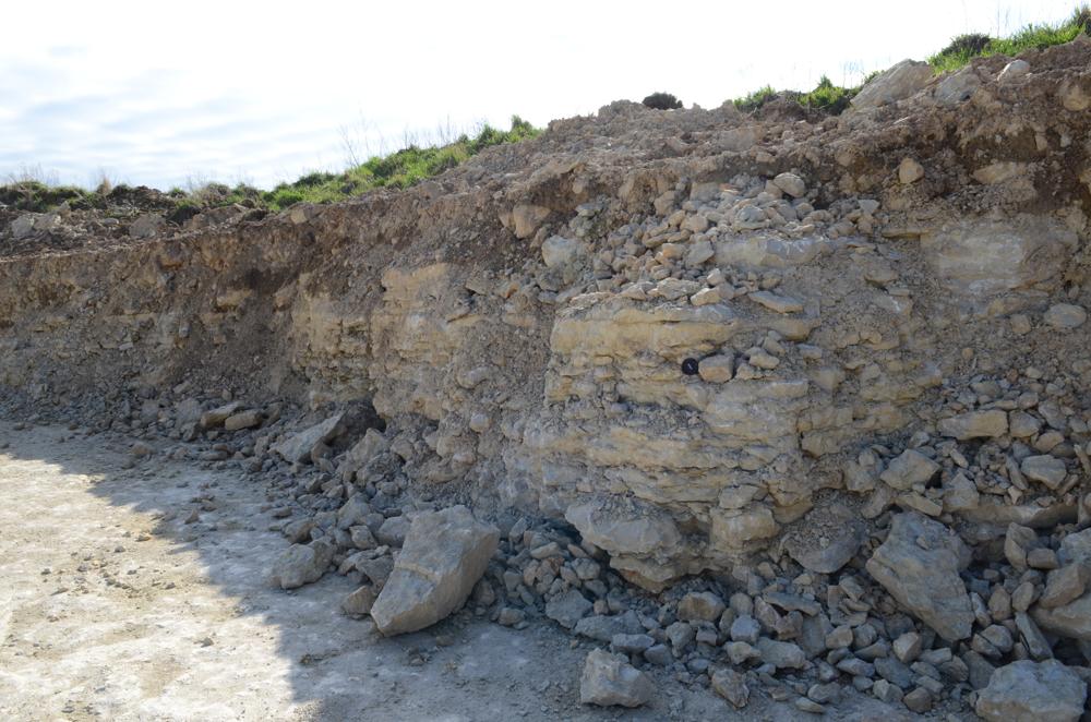
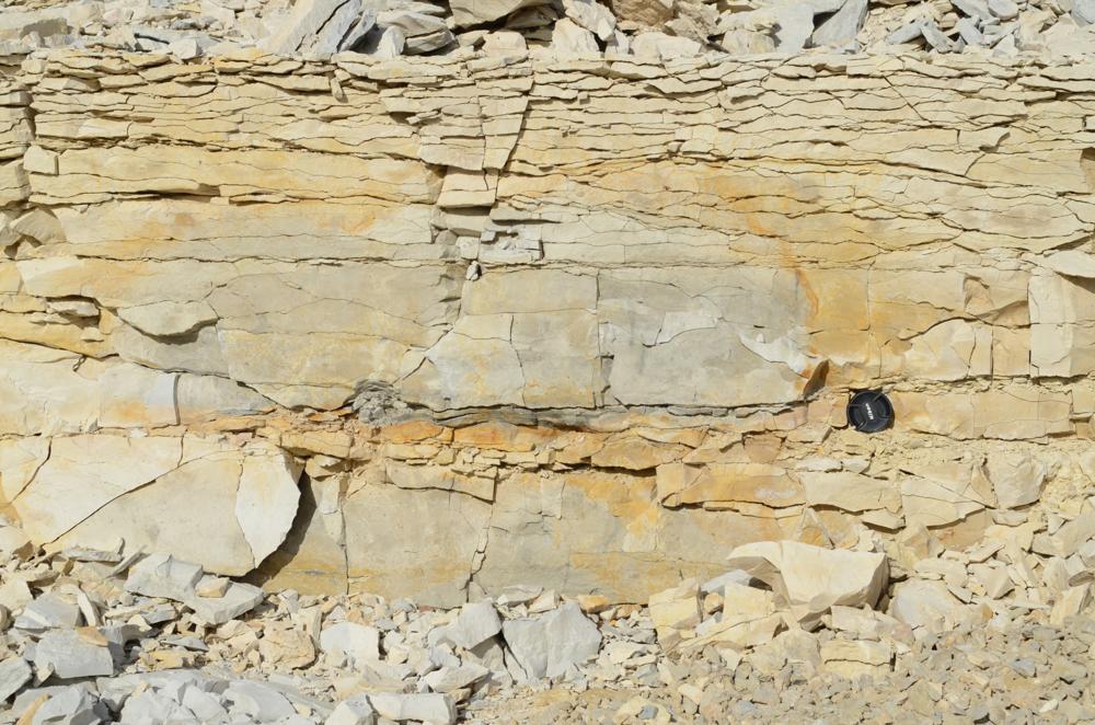
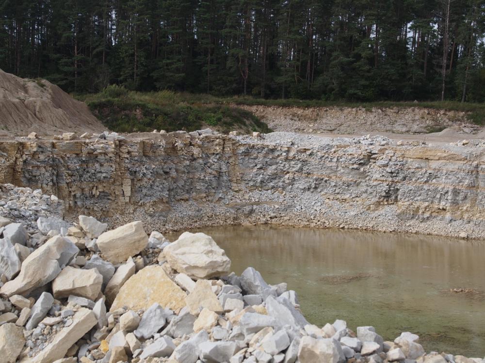
| Strat. top | Vormsi Stage |
| Strat. base | Nabala Stage |
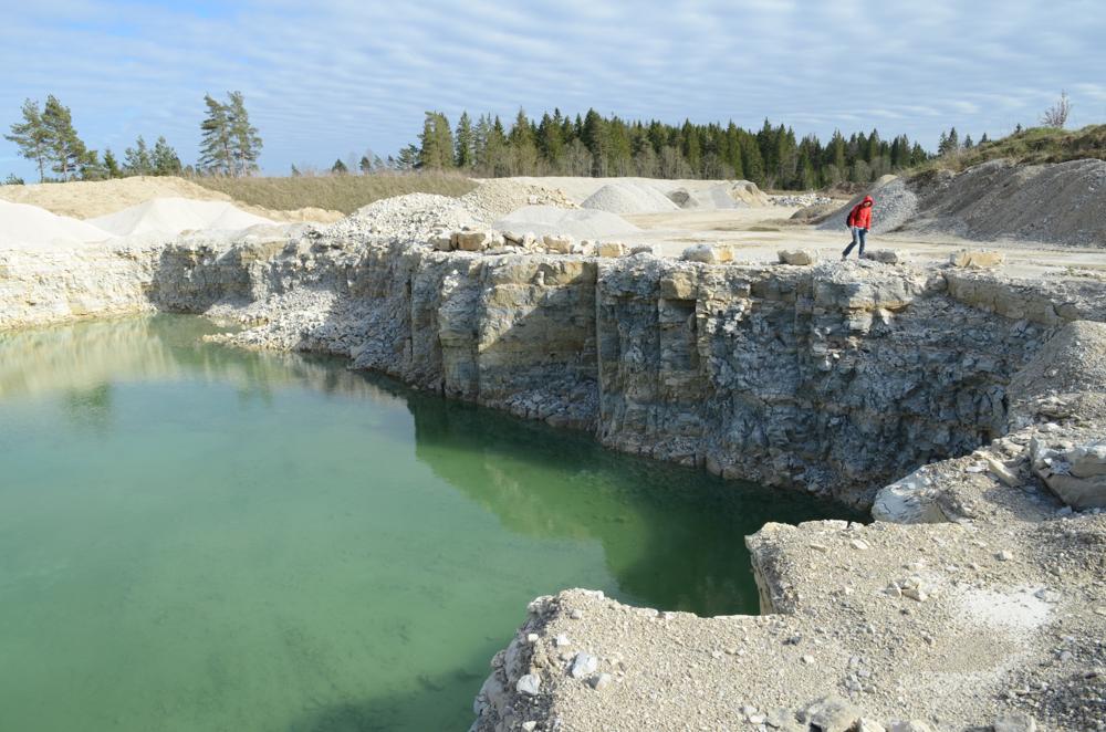
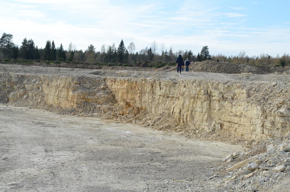
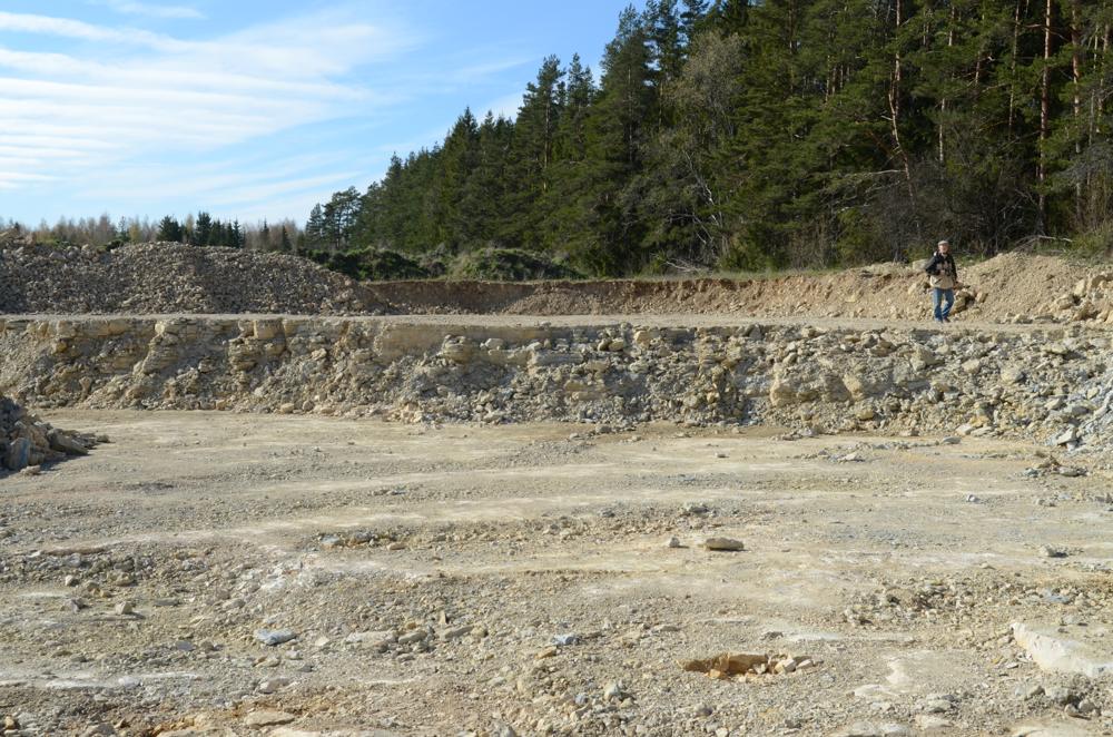
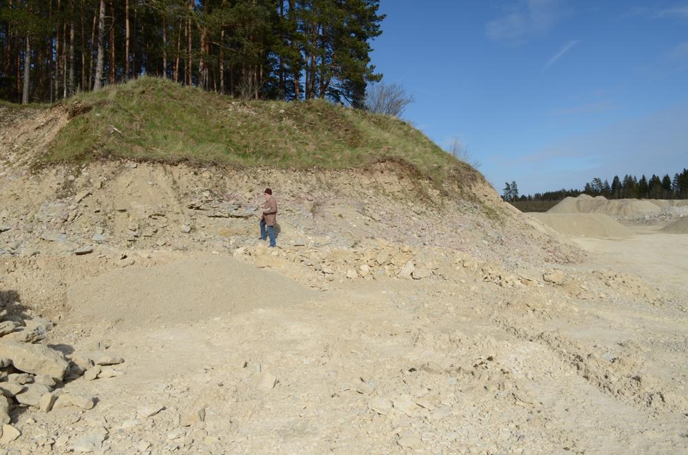
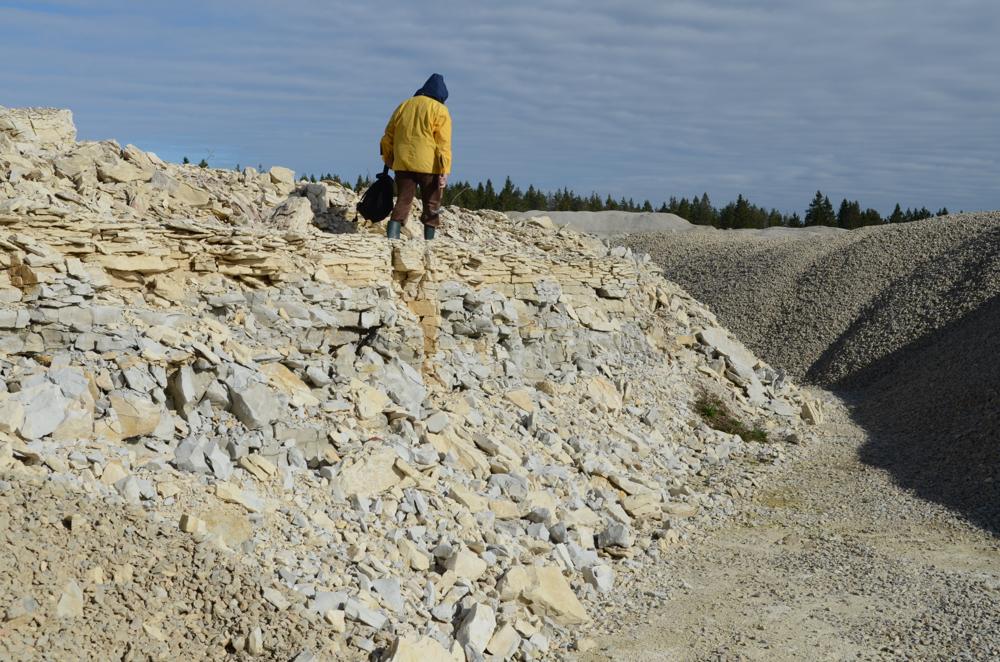
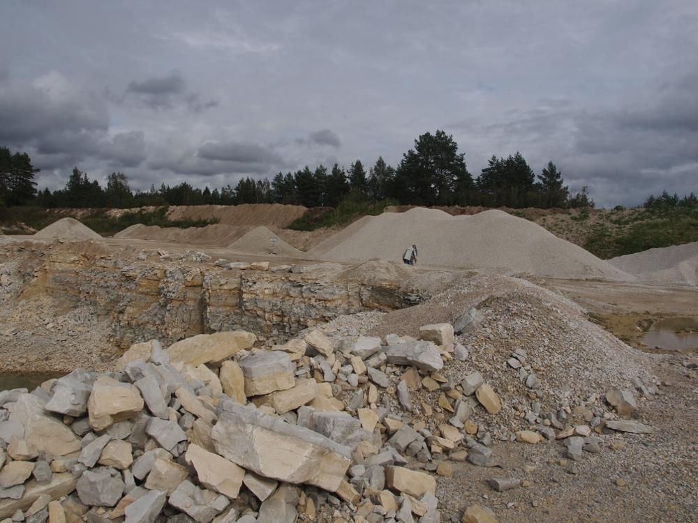
| Remarks | Külastatud mais 2012 - suur tegutsev karjäär. Paljandub Nabala ladem afan lbk ja Vormsi lademe alumised kihid. Vana Sutlema (= Käoküla) paemurd jääb Sutlema uuest karjäärist põhja poole. |
| Date added | 2012-05-04 |
| Date changed | 2024-08-19 |
Browse Geocollections
Partners


This site uses Matomo to analyze traffic and help us to improve your user experience. We process your IP address, viewed pages, load times and device information. This data is only processed by us.