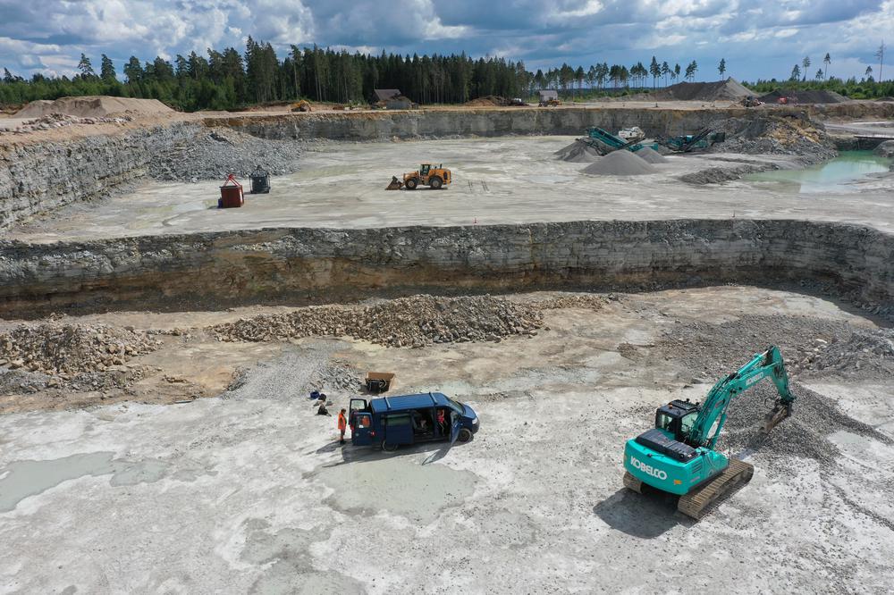
![](https://files.geocollections.info/medium/64c284ce-4220-43f6-b3c6-c0e453750ffc.jpg)
![](https://files.geocollections.info/medium/e5d8d9bc-0165-4120-99d8-2fb2c1d12285.jpg)
![](https://files.geocollections.info/medium/f45ddb2b-1828-4157-b557-e0292c55ce2f.jpg)
![](https://files.geocollections.info/medium/bc1462a4-66ed-462f-b35b-9118c5e00c88.jpg)
![](https://files.geocollections.info/medium/46ef1725-e066-4746-af5f-c38ba1b67a93.jpg)
![](https://files.geocollections.info/medium/95e86a68-e655-438f-afc1-3a1a0e5497e7.jpg)
![](https://files.geocollections.info/medium/62b842e7-6c81-4642-b29b-49a8a9f8206f.jpg)
![](https://files.geocollections.info/medium/67e5cccf-b7d6-497e-8419-7688cd8a309e.jpg)
![](https://files.geocollections.info/medium/ae070efe-f87c-4e52-804f-0035a55251a5.jpg)
![](https://files.geocollections.info/medium/b3c99ece-2a72-470a-b3ad-d08a0c1b86ce.jpg)
Name | Reinu Quarry |
Type | surface mine |
Country | Estonia |
Parish | Rapla |
Settlement | Äherdi |
Coordinates | 59.087299, 24.73768 |
X | 6550072 |
Y | 542288 |
Coordinate precision | 1-10 m |
Coord. method | Est Land Board map server |
Location remarks | Koigi külast 1,8 km loodes; Äherdi külast 1,6 km põhjas. Karjääri teatakse ka Koigi karjäärina. (1.8 km northwest of Koigi village; 1.6 km north of Äherdi village. The quarry is also known as Koigi quarry.) |
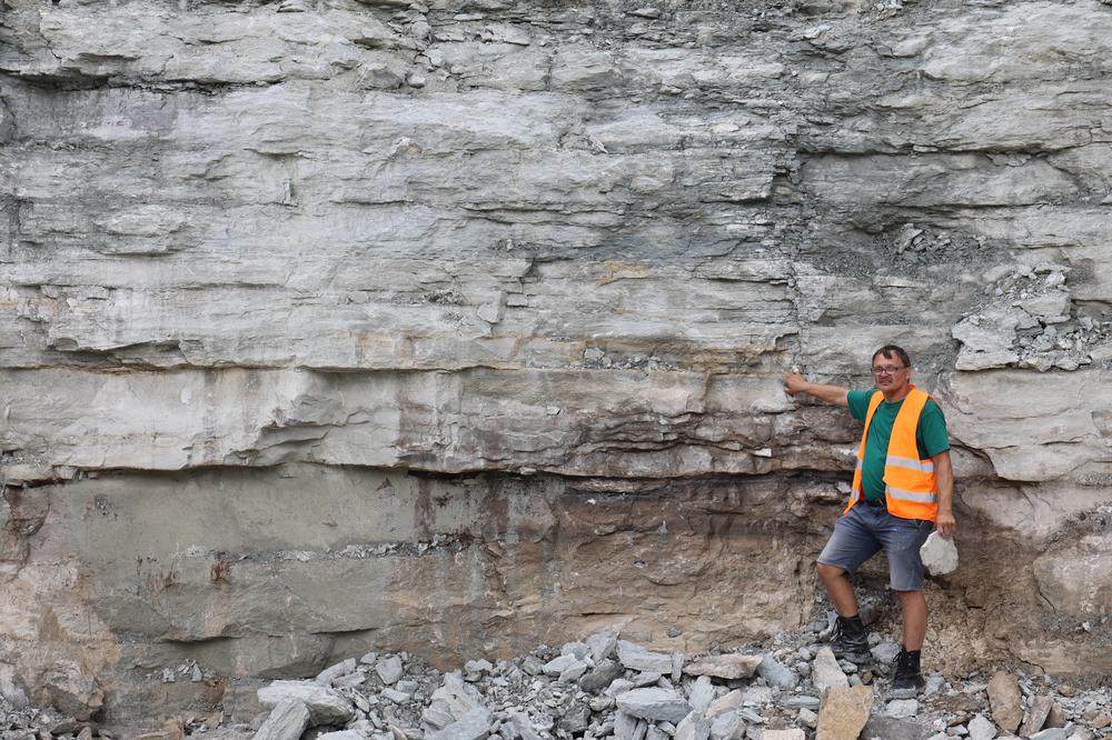
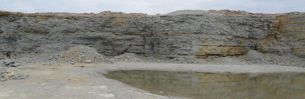
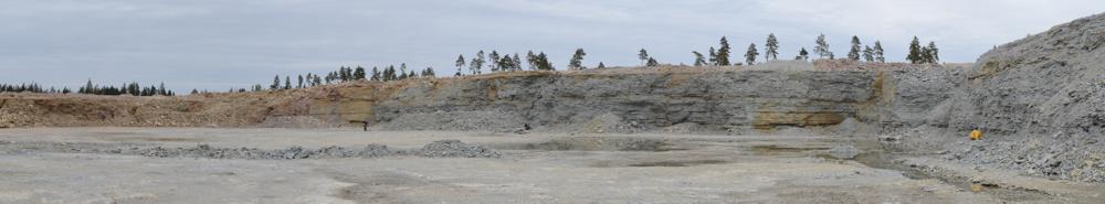
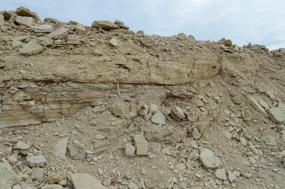
Strat. top | Juuru Stage |
Strat. base | Pirgu Stage |
Remarks | Karjäär kuulub Rapla Teed OÜ-le; Eksp. 3.05.2012. (The quarry belongs to Rapla Teed OÜ; Exp. 3.05.2012) |
Date added | 2012-05-04 |
Date changed | 2024-03-08 |
Browse Geocollections