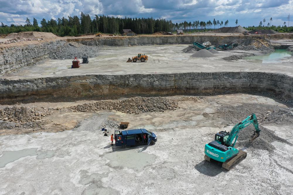
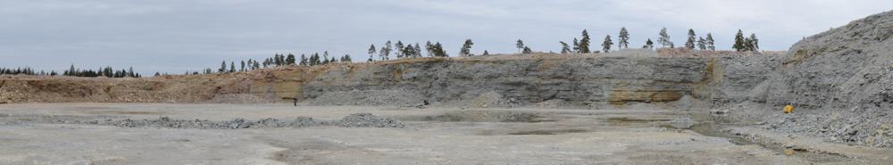


| Name | Reinu Quarry |
| Type | surface mine |
| Country | Estonia |
| Parish | Rapla |
| Settlement | Äherdi |
| Coordinates | 59.087299, 24.73768 |
| X | 6550072 |
| Y | 542288 |
| Coordinate precision | 1-10 m |
| Coord. method | Est Land Board map server |
| Location remarks | Koigi külast 1,8 km loodes; Äherdi külast 1,6 km põhjas. Karjääri teatakse ka Koigi karjäärina. (1.8 km northwest of Koigi village; 1.6 km north of Äherdi village. The quarry is also known as Koigi quarry.) |
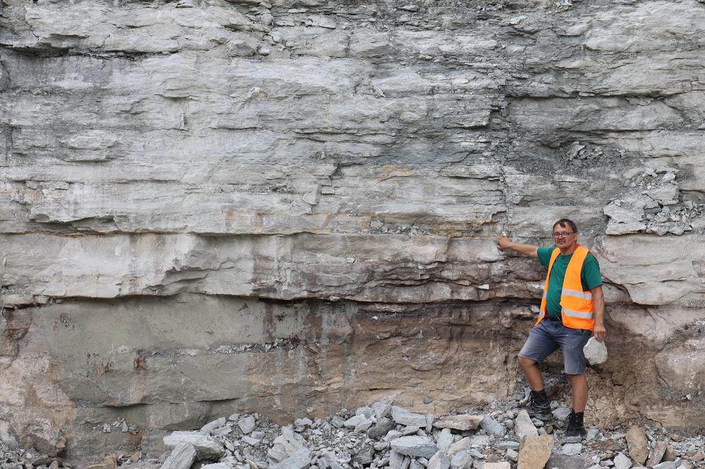
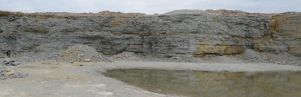
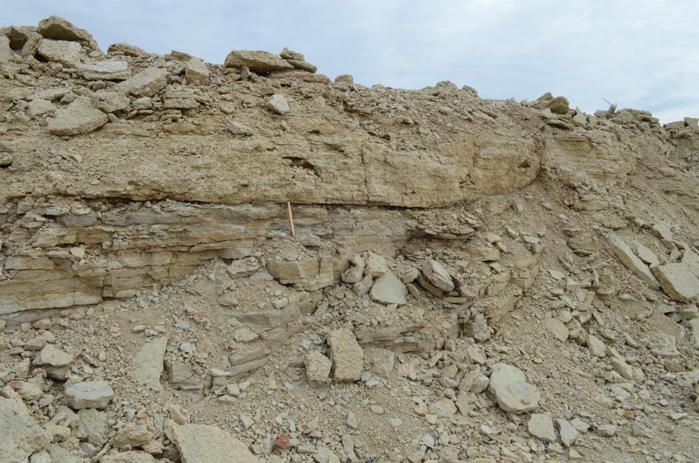
| Strat. top | Juuru Stage |
| Strat. base | Pirgu Stage |
| Remarks | Karjäär kuulub Rapla Teed OÜ-le; Eksp. 3.05.2012. (The quarry belongs to Rapla Teed OÜ; Exp. 3.05.2012) |
| Date added | 2012-05-04 |
| Date changed | 2024-08-19 |
Browse Geocollections
Partners


This site uses Matomo to analyze traffic and help us to improve your user experience. We process your IP address, viewed pages, load times and device information. This data is only processed by us.