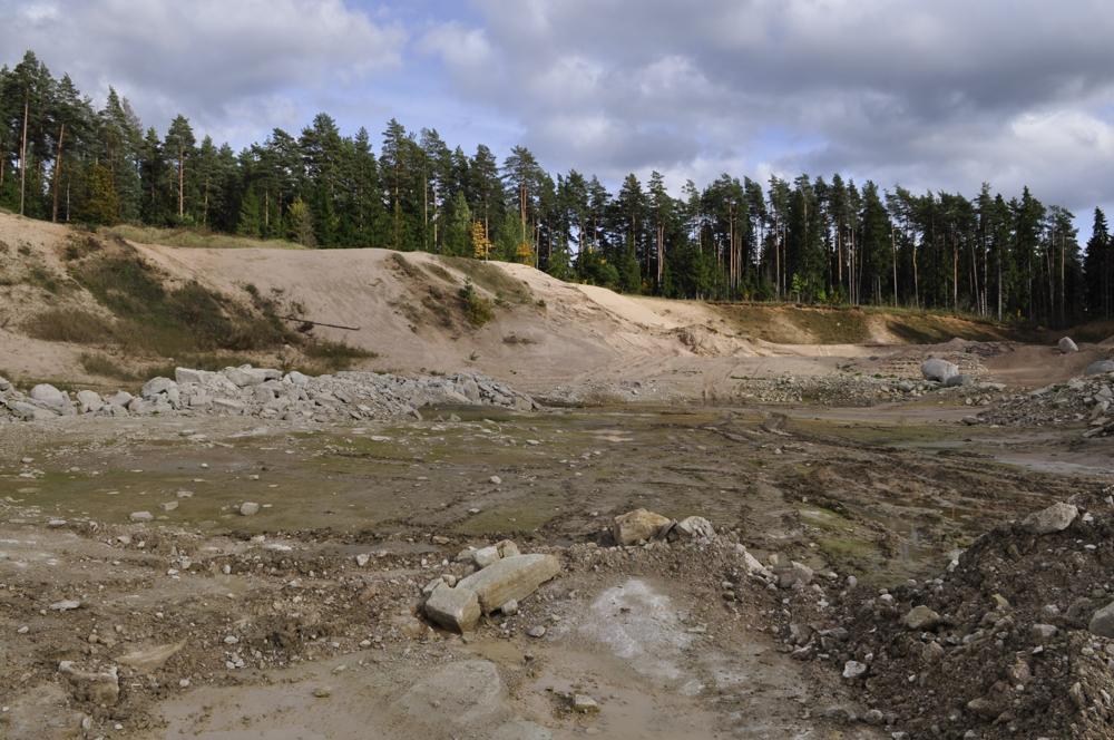
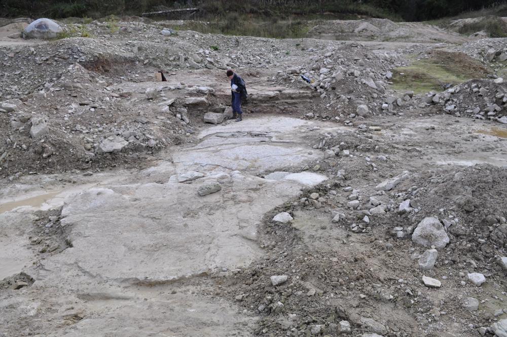
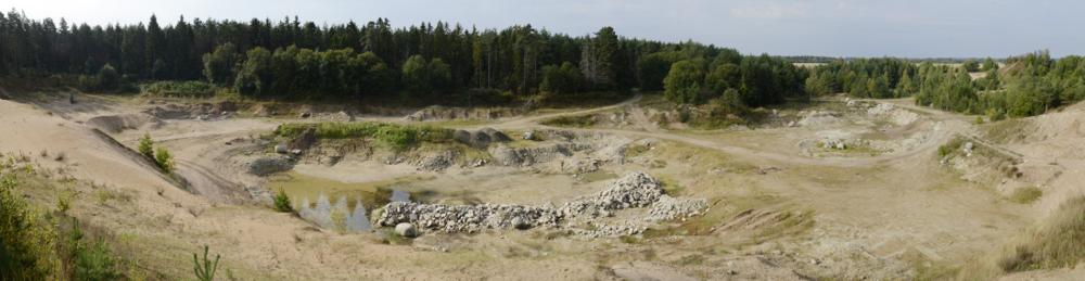

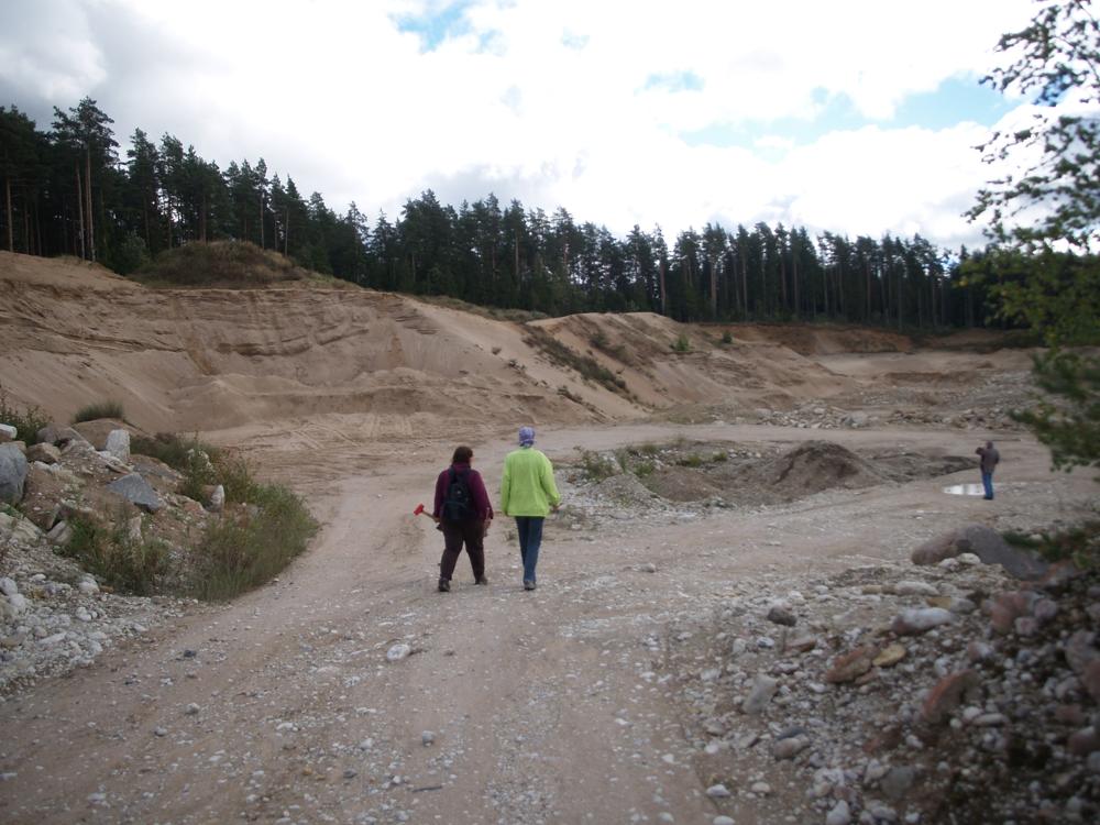
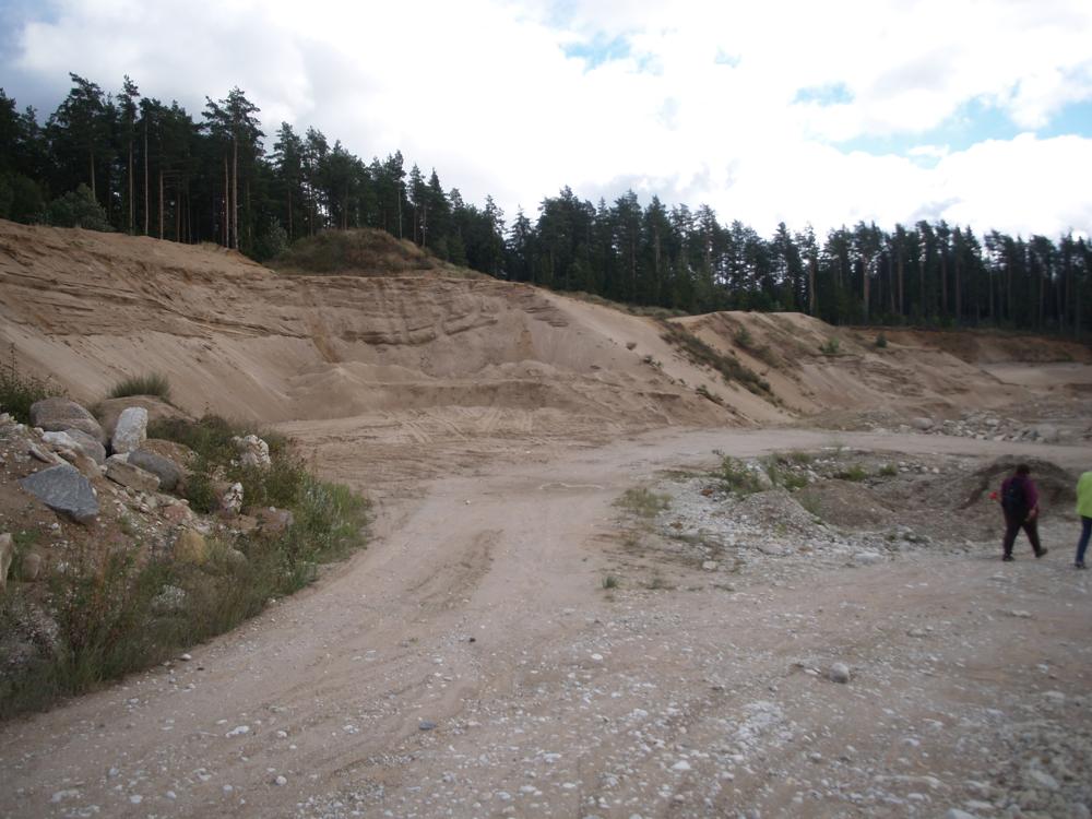
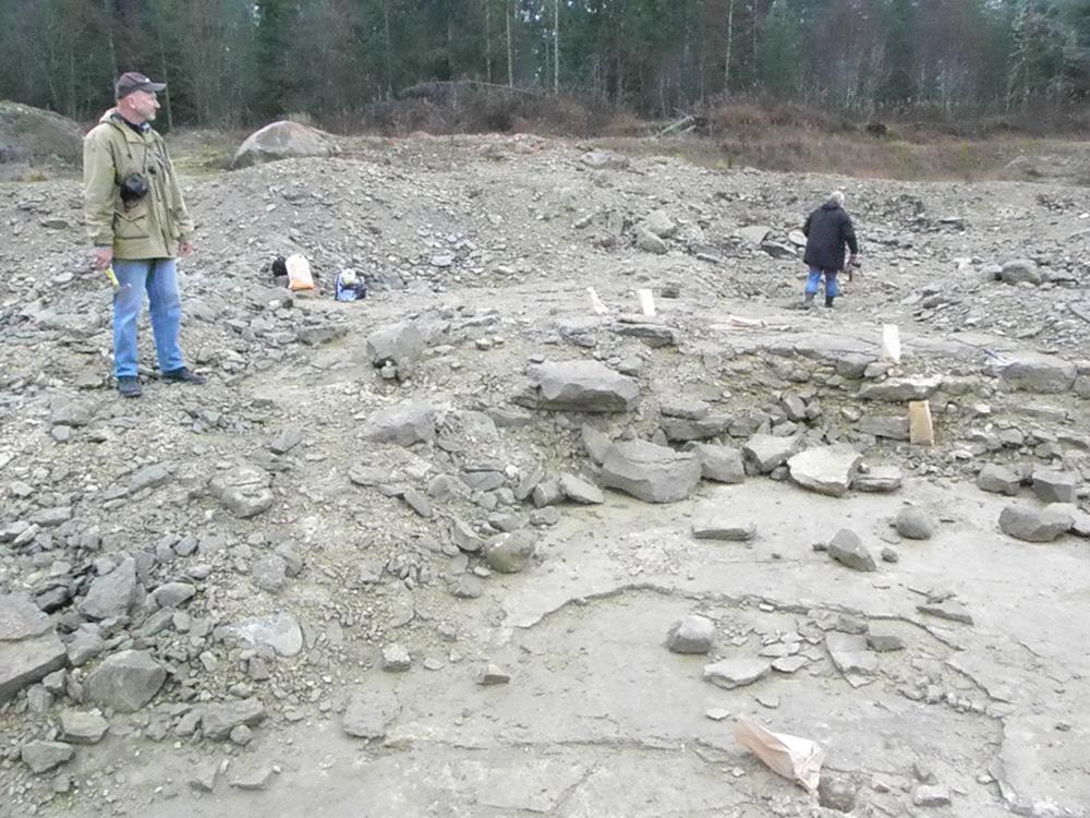
| Name | Neitla gravelpit |
| Type | outcrop |
| Country | Estonia |
| Parish | Albu |
| Elevation | 90.00 |
| Coordinates | 59.102247, 25.762486 |
| X | 6552589 |
| Y | 601198 |
| Coordinate precision | 1-10 m |
| Coord. method | Est Land Board map server |
| Coord. agent | Aaloe, Aasa |
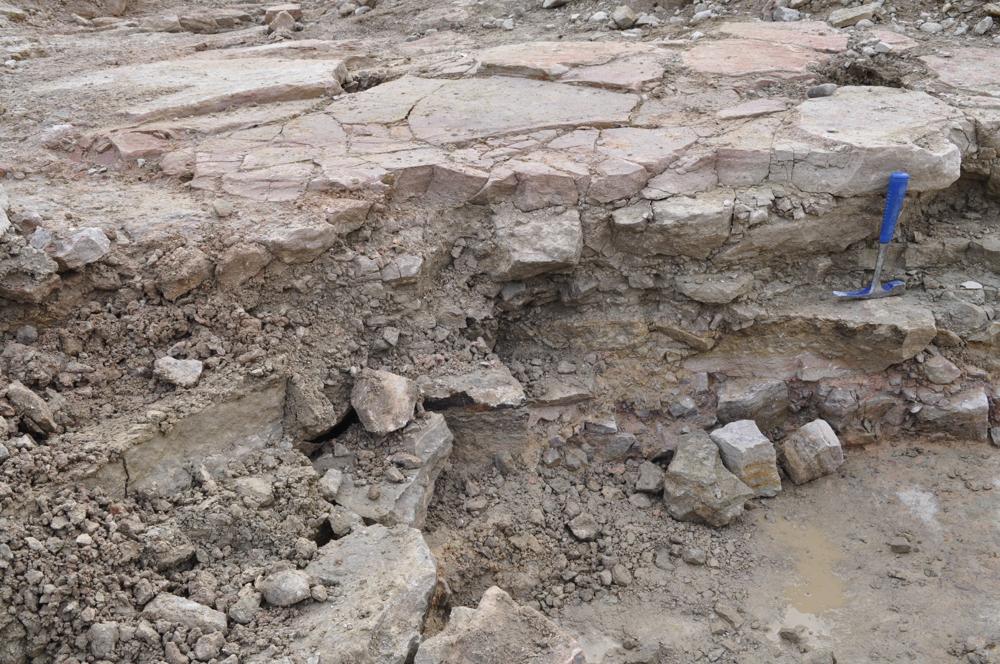
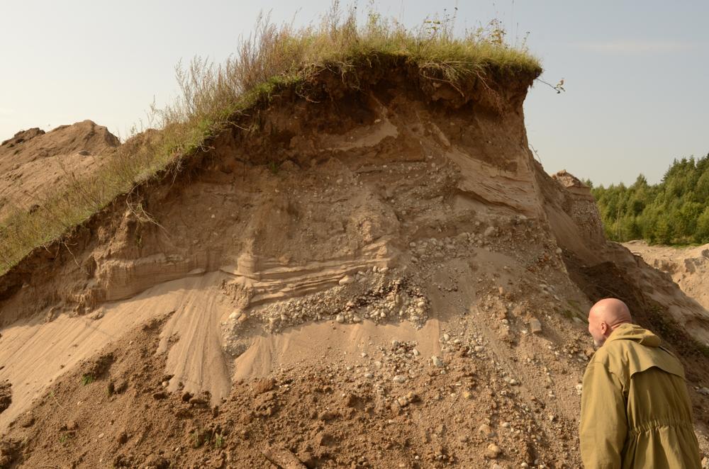
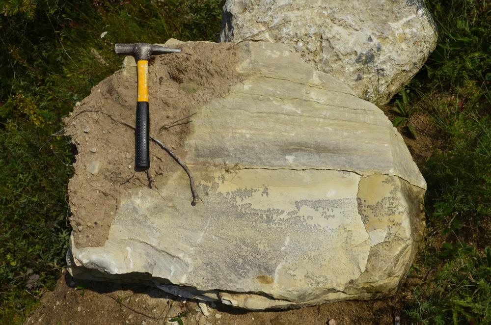
| Strat. top | Juuru Stage |
| Strat. base | Porkuni Stage |
| Remarks | Ordoviitsiumi ja Siluri piirikihid kruusakarjääri põhjas |
| Date added | 2010-10-13 |
| Date changed | 2025-10-02 |
Browse Geocollections
Partners


This site uses Matomo to analyze traffic and help us to improve your user experience. We process your IP address, viewed pages, load times and device information. This data is only processed by us.