Locality
Eype Mouth, Dorset


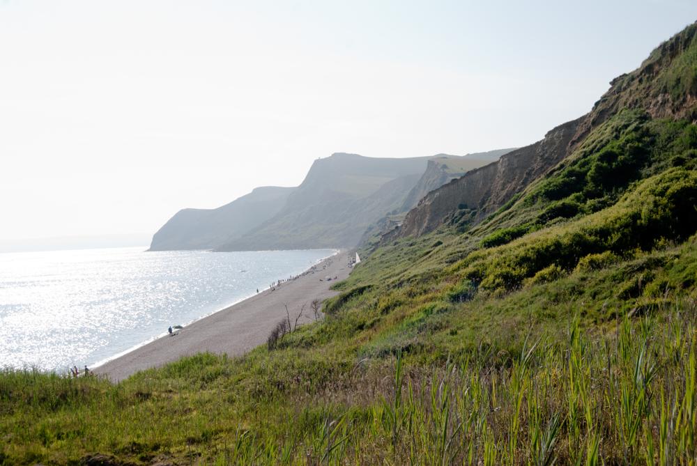
| Name | Eype Mouth, Dorset |
| Type | outcrop |
| Country | United Kingdom |
| Coordinates | 50.714377, -2.77705 |
| Coordinate precision | 100-1000 m |
| Coord. method | Google Maps / Earth |
| Coord. agent | Hints, Olle |
| Location remarks | koordinaadid määratud u 500 Eype oja suudmest idas, suure murrangu kohal. |
| Strat. top | Bathonian |
| Strat. base | Pliensbachian |
| Date added | 2010-07-08 |
| Date changed | 2010-07-09 |
Browse Geocollections
Partners


This site uses Matomo to analyze traffic and help us to improve your user experience. We process your IP address, viewed pages, load times and device information. This data is only processed by us.