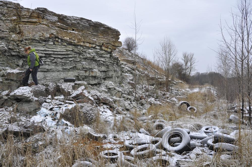

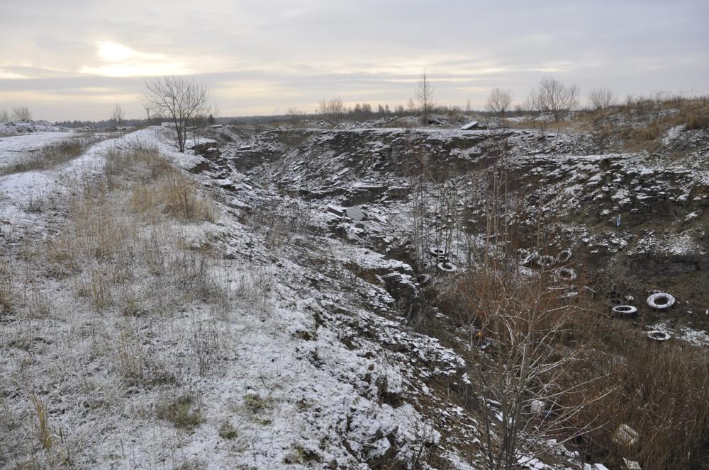
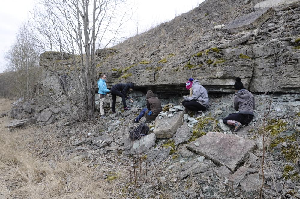

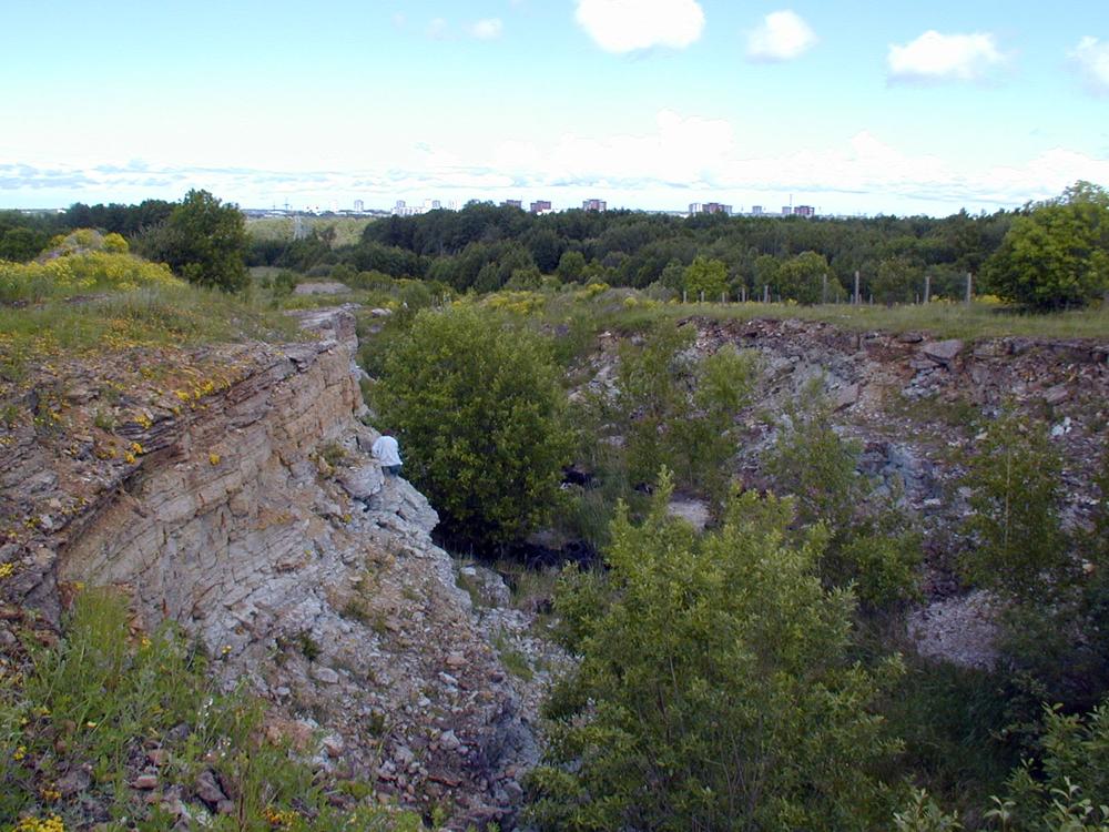
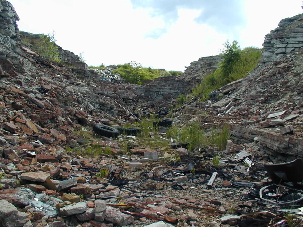
| Name | Harku trench |
| Type | outcrop |
| Country | Estonia |
| Parish | TALLINN |
| Coordinates | 59.400139, 24.609767 |
| Coordinate precision | 1-10 m |
| Coord. method | Est Land Board map server |
| Coord. agent | Hints, Olle |
| Location remarks | Tranšee endise vangla aia nurgast vahetult läänes. Koht kust kogutud palju kivistist (trilobiidid, brahhiopoodid, peajalgsed). Koordinaadid määratud esimese kõrgema nuki juurest, vt ka fotod. |
| Strat. top | Uhaku Stage |
| Strat. base | Pakerort Stage |
| Date added | 2009-12-12 |
| Date changed | 2023-05-30 |
Browse Geocollections
Partners

