

| Name | Harku trench |
| Type | outcrop |
| Country | Estonia |
| Parish | TALLINN |
| Coordinates | 59.400139, 24.609767 |
| Coordinate precision | 1-10 m |
| Coord. method | Est Land Board map server |
| Coord. agent | Hints, Olle |
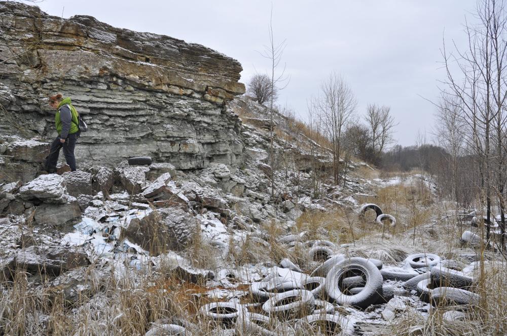
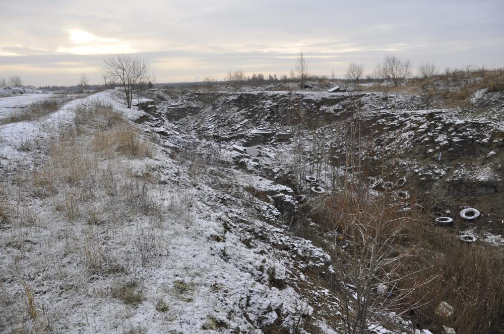
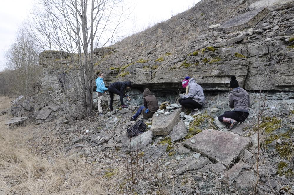
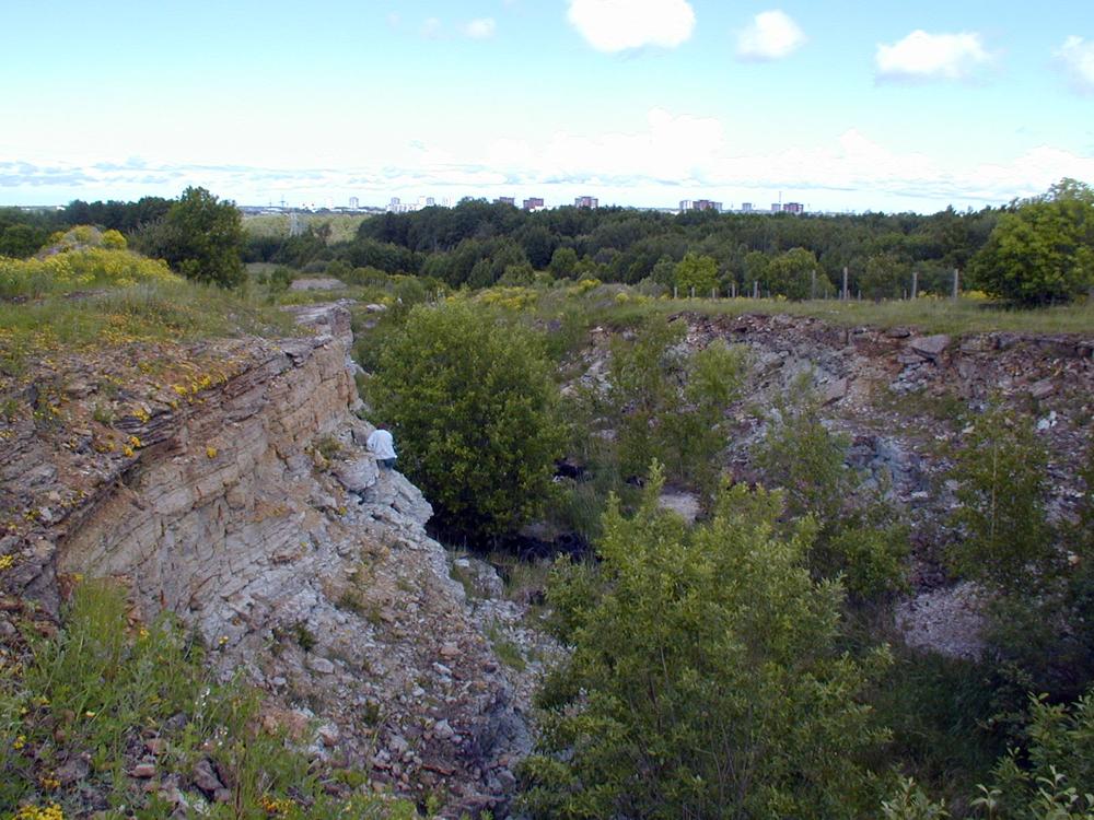
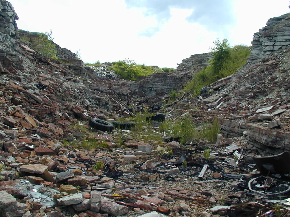
| Location remarks | Tranšee endise vangla aia nurgast vahetult läänes. Koht kust kogutud palju kivistist (trilobiidid, brahhiopoodid, peajalgsed). Koordinaadid määratud esimese kõrgema nuki juurest, vt ka fotod. |
| Strat. top | Uhaku Stage |
| Strat. base | Pakerort Stage |
| Date added | 2009-12-12 |
| Date changed | 2023-05-30 |
Browse Geocollections
Partners


This site uses Matomo to analyze traffic and help us to improve your user experience. We process your IP address, viewed pages, load times and device information. This data is only processed by us.