| Name | Narva Joaoru outcrop |
| Type | outcrop |
| Country | Estonia |
| Parish | NARVA |
| Coordinates | 59.368513, 28.206702 |
| Coordinate precision | 10-100 m |
| Coord. method | Est Land Board map server |
| Coord. agent | Aaloe, Aasa |
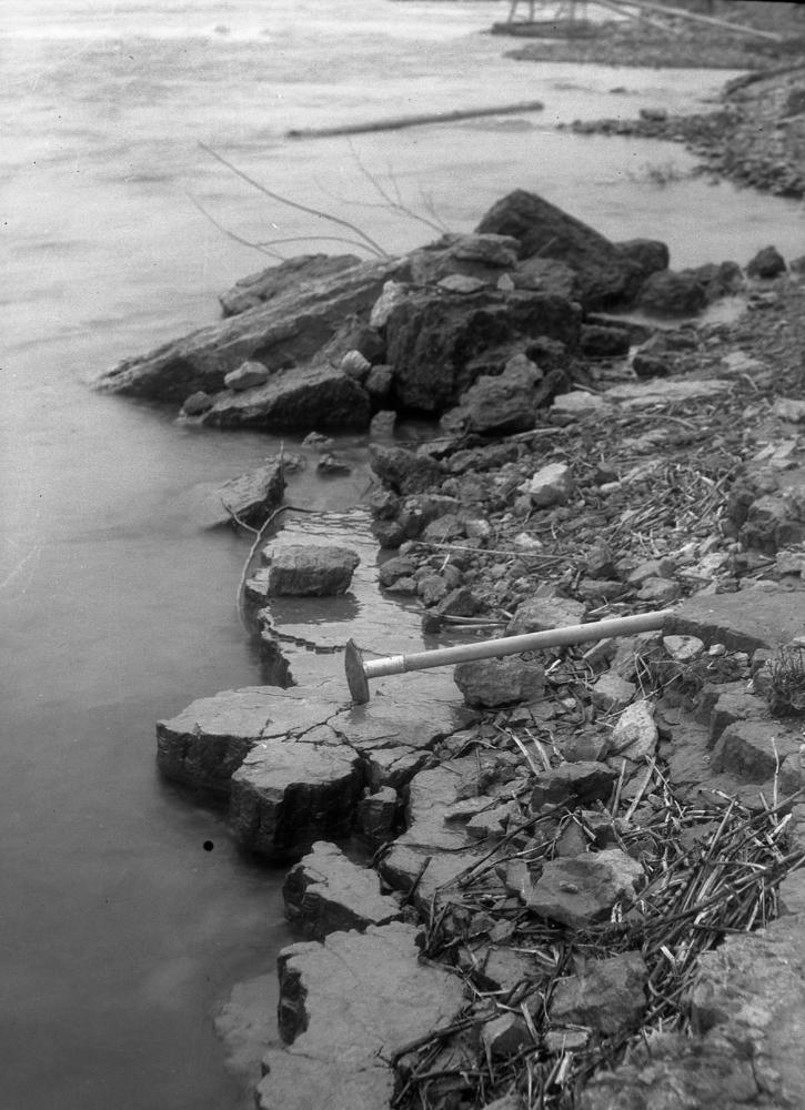
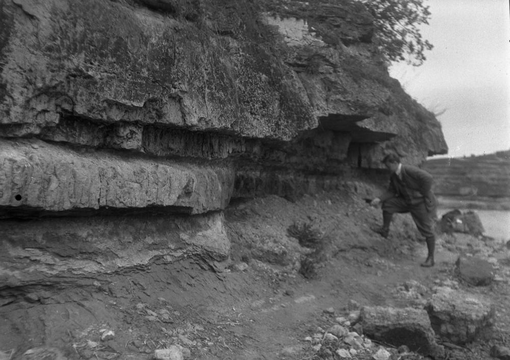
| Location remarks | Orviku, 1927: linkes Ufer des Narva-Flusses, nördlich von der Eisenbahnbrücke; Fr. Schmidt 1858 nimetab Joala kivimurdu: Hart oberhalb des Wasserfalls, bei Joala, liegen Steinbrüche. |
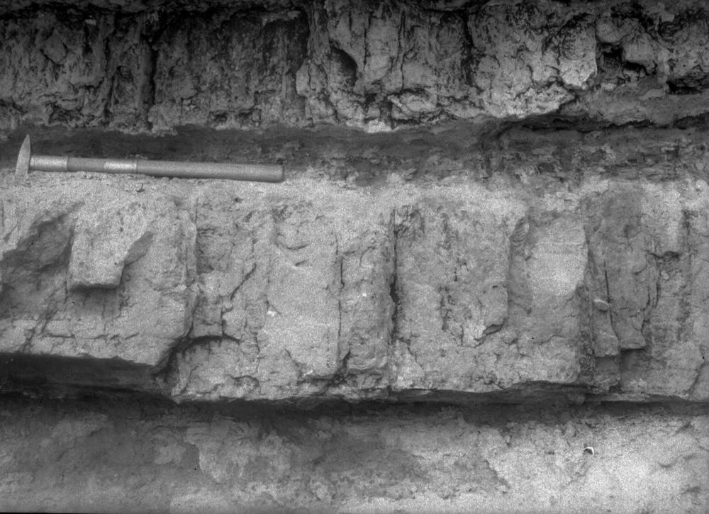
| Strat. top | Lower Ordovician |
| Strat. base | Cambrian |
| Remarks | Kui selle paljandina mõeldakse Narva jõe sängi (nn. Helmerseni paljandit), siis asub see raudteesillast ca 150 m allavoolu |
| Date added | 2008-09-08 |
| Date changed | 2019-06-11 |
Browse Geocollections
Partners


This site uses Matomo to analyze traffic and help us to improve your user experience. We process your IP address, viewed pages, load times and device information. This data is only processed by us.