| Name | Velise-Kõrgekalda outcrop |
| Type | outcrop |
| Country | Estonia |
| Parish | Märjamaa |
| Settlement | Velise |
| Depth | 5 |
| Coordinates | 58.781336, 24.483319 |
| Coordinate precision | 10-100 m |
| Coord. method | Est Land Board map server |
| Coord. agent | Aaloe, Aasa |
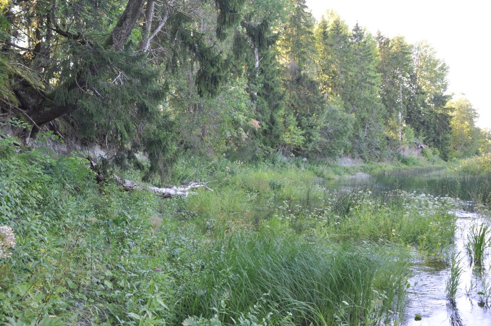
| Location remarks | Velise (Päärdu) jõe vasakul kaldal Tallinn-Pärnu mnt-st 4 km ida pool. P.M. järgi: Velise jõe vaskul kaldal ~2,3 km Velise sillast Päärdu poole, 0,2 km teest põhja pool |
| Strat. top | Adavere Stage |
| Strat. base | Adavere Stage |
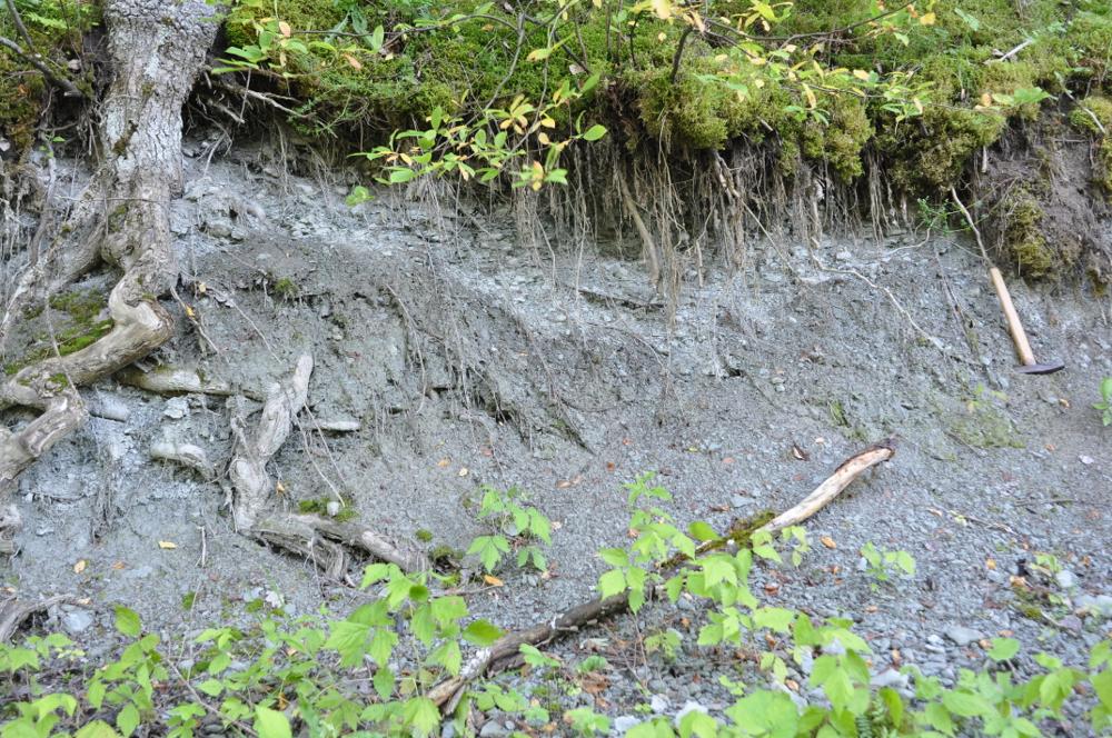
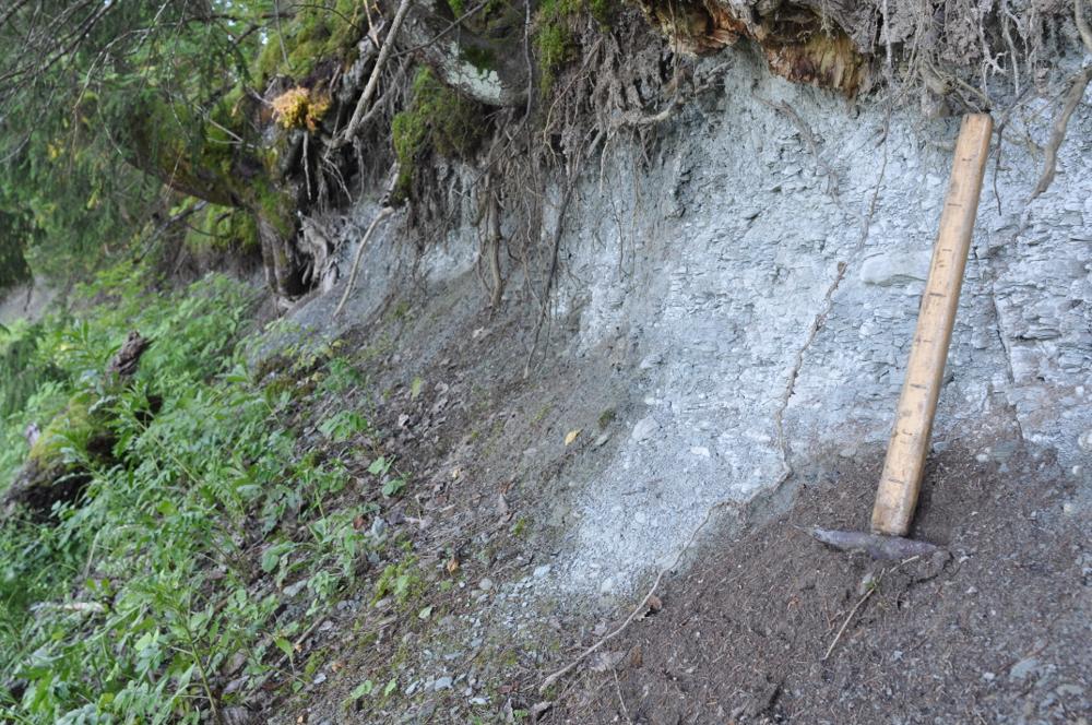
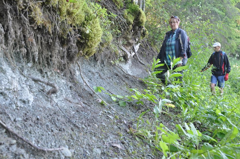
| Remarks | 250-300 m ulatuses paljand. Väga pehmed, kohati plastilised savimerglid. EÜLR, Raplamaa kd. Adavere lademe Velise kihistu stratotüüp |
| Date added | 2008-04-09 |
| Date changed | 2024-09-05 |
Browse Geocollections
Partners


This site uses Matomo to analyze traffic and help us to improve your user experience. We process your IP address, viewed pages, load times and device information. This data is only processed by us.