

| Name | Anikaitse cliff |
| Type | outcrop |
| Country | Estonia |
| Parish | Pöide |
| Settlement | Kübassaare |
| Coordinates | 58.447915, 23.324325 |
| Coordinate precision | 10-100 m |
| Coord. method | Est Land Board map server |
| Coord. agent | Aaloe, Aasa |
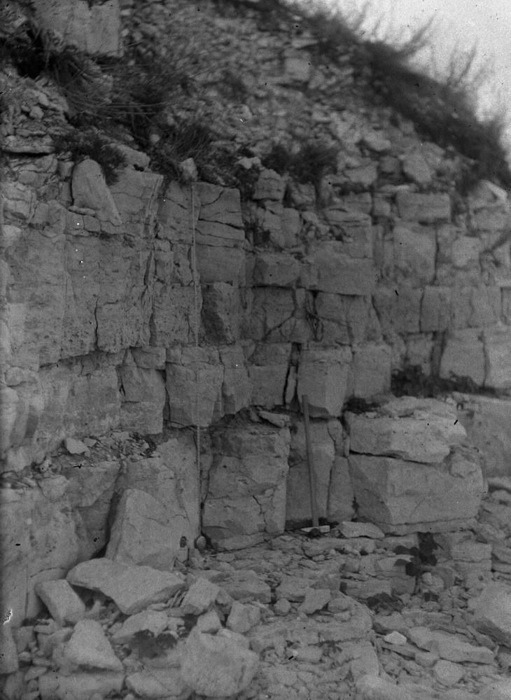
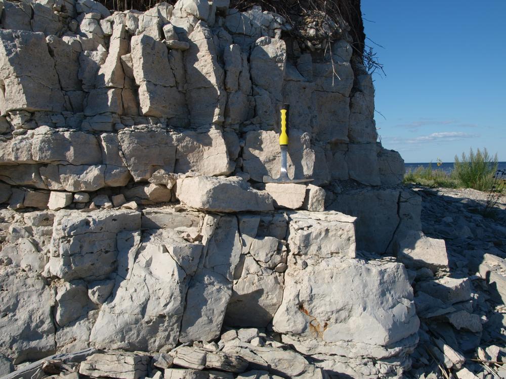
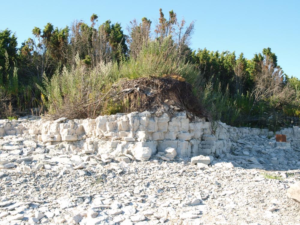
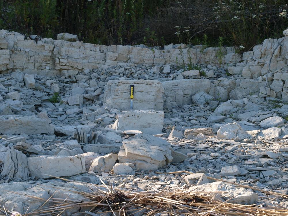
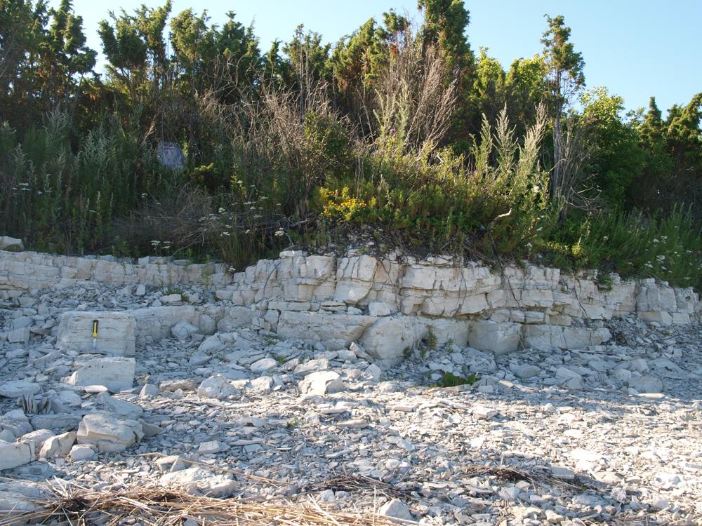
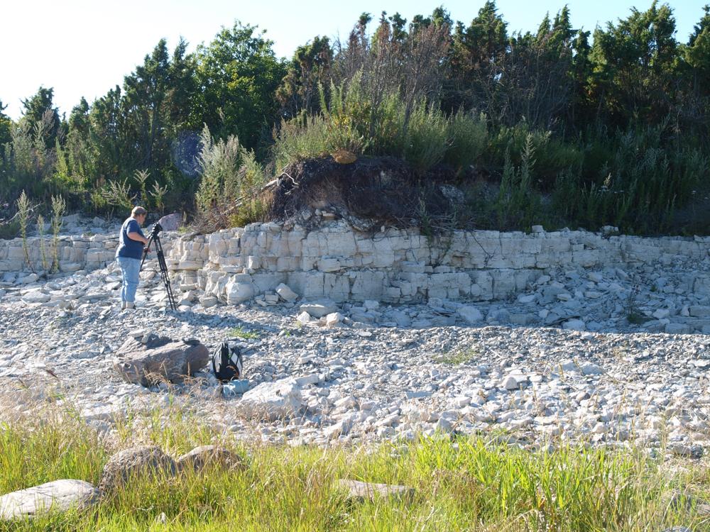
| Location remarks | Kübassaare ps idarand, Kübassaare majakast 4 km kirdes. Järsaku kõrgus 3,5 m, läbilõiget 2,2 m |
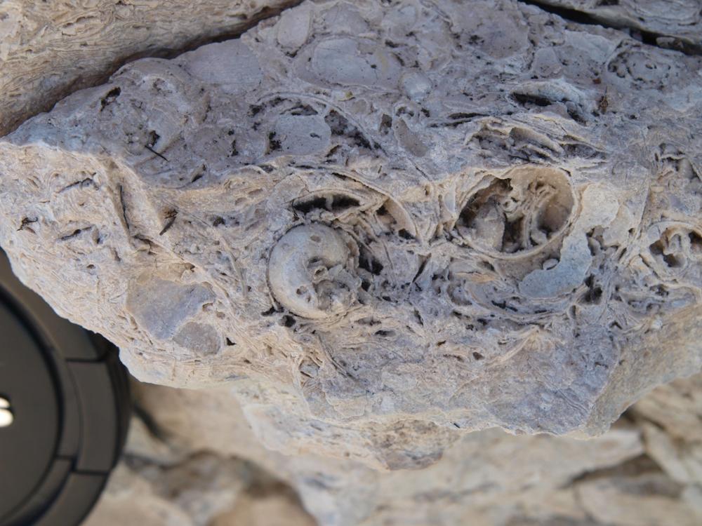
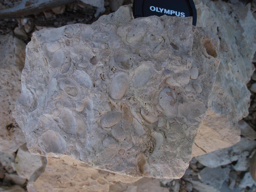
| Strat. top | Paadla Stage |
| Strat. base | Rootsiküla Stage |
| Remarks | Üks idapoolsemaid Rootsiküla ja Paadla lademe paljandeid |
| Date added | 2007-11-14 |
| Date changed | 2022-08-22 |
Browse Geocollections
Partners


This site uses Matomo to analyze traffic and help us to improve your user experience. We process your IP address, viewed pages, load times and device information. This data is only processed by us.