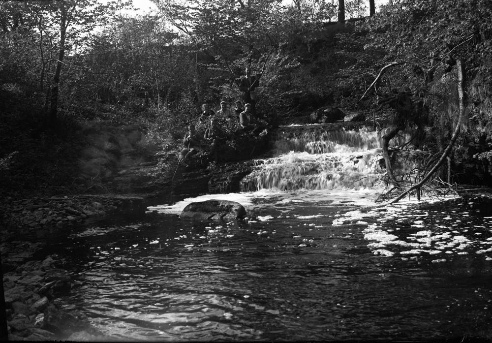
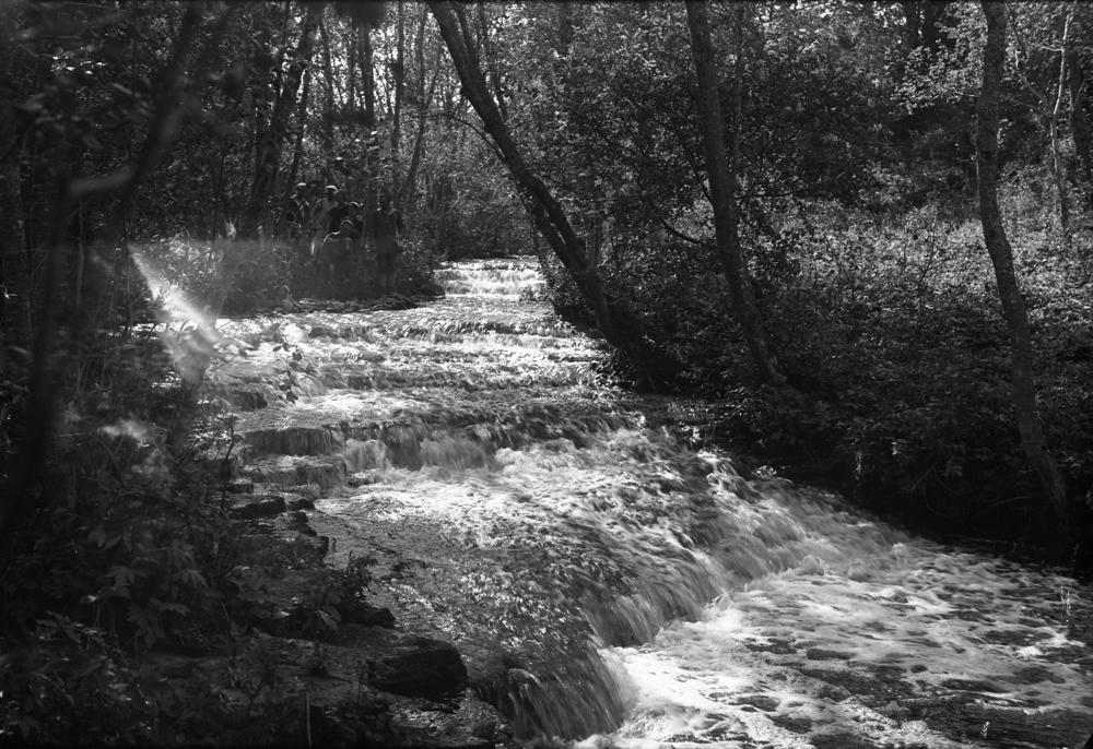
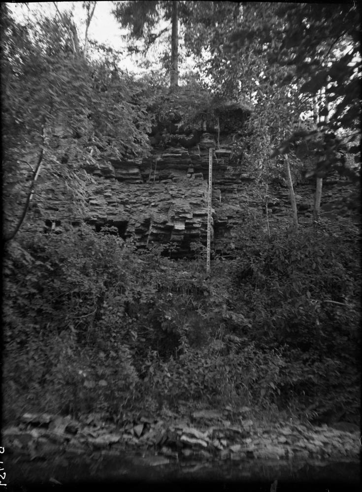
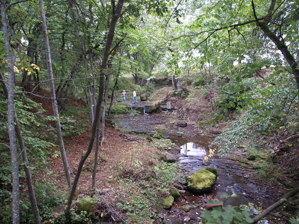
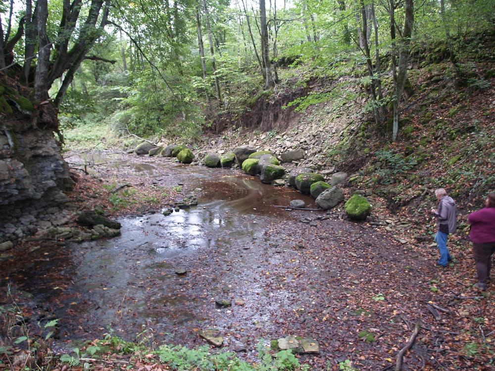
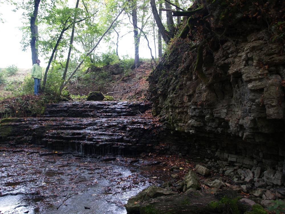
| Name | Aluoja River outcrops |
| Type | outcrop |
| Country | Estonia |
| Parish | Toila |
| Settlement | Pühajõe |
| Depth | 5 |
| Coordinates | 59.402636, 27.532005 |
| Coord. method | Est Land Board map server |
| Coord. agent | Aaloe, Aasa |
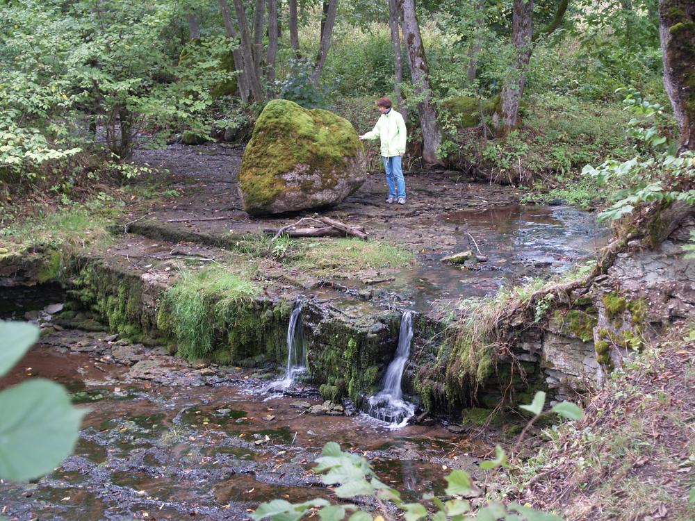
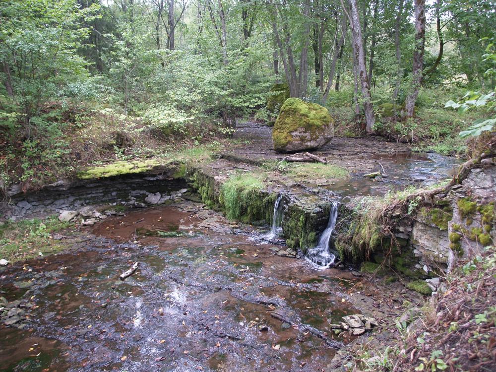
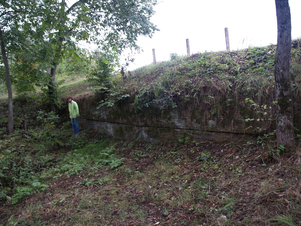
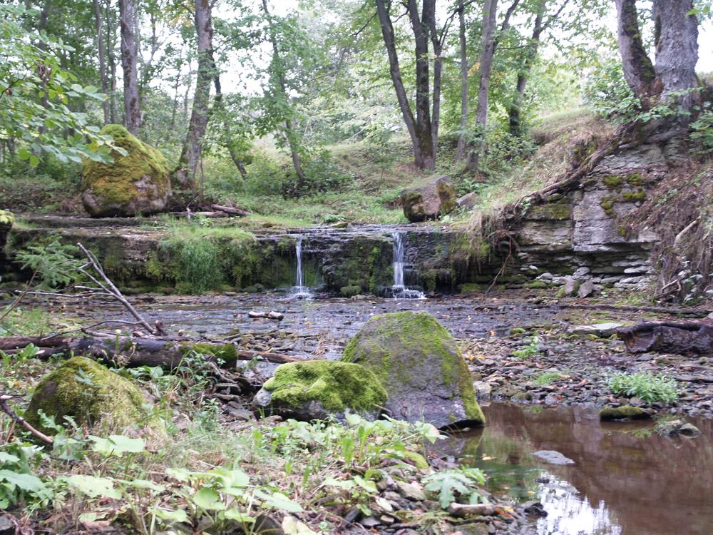
| Location remarks | Aluoja joastik asub Ida-Viru mk-s Toila vallas Pühajõe külas, vasakult Pühajõe orgu suubuval Mägara ojal. Viimasele on omistatud ka Aluoja, Härjaoja ja mõnevõrra harvemini Sepaoja nime |
| Strat. top | Kunda Stage |
| Strat. base | Volkhov Stage |
| Date added | 2007-11-14 |
| Date changed | 2022-06-07 |
Browse Geocollections
Partners


This site uses Matomo to analyze traffic and help us to improve your user experience. We process your IP address, viewed pages, load times and device information. This data is only processed by us.