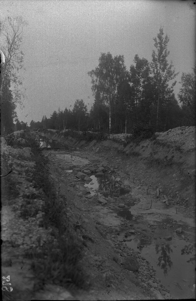

| Name | Võlupe canal |
| Type | outcrop |
| Country | Estonia |
| Parish | Leisi |
| Coordinates | 58.571682, 22.776321 |
| X | 6493057 |
| Y | 428806 |
| Coord. method | Google Maps / Earth |
| Coord. agent | Aaloe, Aasa |
| Location remarks | = Võlupe jõgi, Tõre jõgi; 58.571798 Maanteest ~150m kaugusel Võlupe kanal on Võlupe oja süvend |
| Strat. base | Jaagarahu Stage |
| Date added | 2006-02-08 |
| Date changed | 2018-05-28 |
Browse Geocollections
Partners


This site uses Matomo to analyze traffic and help us to improve your user experience. We process your IP address, viewed pages, load times and device information. This data is only processed by us.