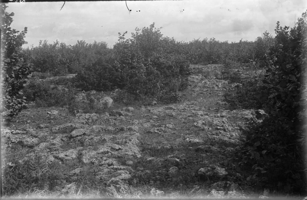
| Name | Orinõmme bioherm |
| Type | outcrop |
| Country | Estonia |
| Parish | Orissaare |
| Settlement | Orinõmme |
| Coordinates | 58.58123, 23.029747 |
| Coord. method | Est Land Board map server |
| Coord. agent | Aaloe, Aasa |
| Location remarks | Orinõmme on küla Orissaare-Leisi mnt-l Orissaarest ca 4,5-5 km. (Tänapäeval jääb küla ~0.5 km maanteest lääne poole). AA, p 13, lk 22 - paljandid mere ääres veepiiril |
| Strat. top | Jaagarahu Stage |
| Strat. base | Jaagarahu Stage |
| Date added | 2005-11-09 |
| Date changed | 2022-12-14 |
Browse Geocollections
Partners


This site uses Matomo to analyze traffic and help us to improve your user experience. We process your IP address, viewed pages, load times and device information. This data is only processed by us.