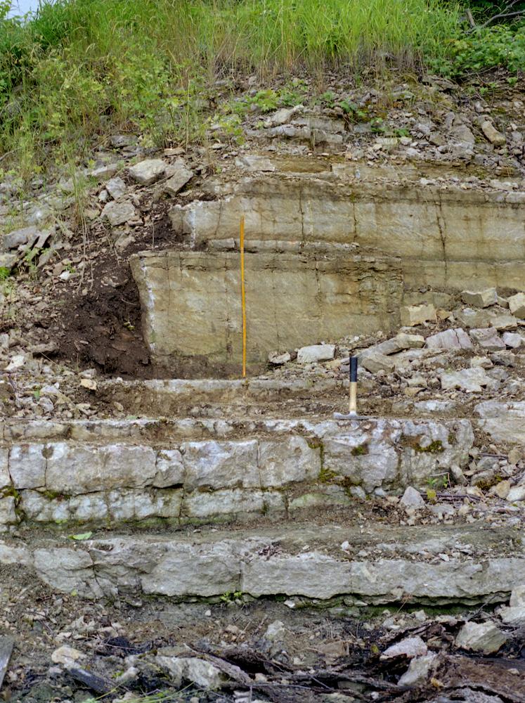
| Name | Viimsi-Lubjamäe quarry |
| Type | outcrop |
| Country | Estonia |
| Parish | Viimsi |
| Settlement | Lubja |
| Coordinates | 59.511011, 24.839278 |
| Coordinate precision | 1-10 m |
| Coord. method | Est Land Board map server |
| Coord. agent | Aaloe, Aasa |
| Location remarks | Viimsi lubjamägi Viimsi klindineemiku astangul; karjäär asub ca 600 m majakast mööda panga serva lõuna pool |
| Strat. top | Lasnamägi Stage |
| Strat. base | Lower Cambrian (old nomenclature) |
| Date added | 2005-11-08 |
| Date changed | 2019-01-28 |
Browse Geocollections
Partners

