

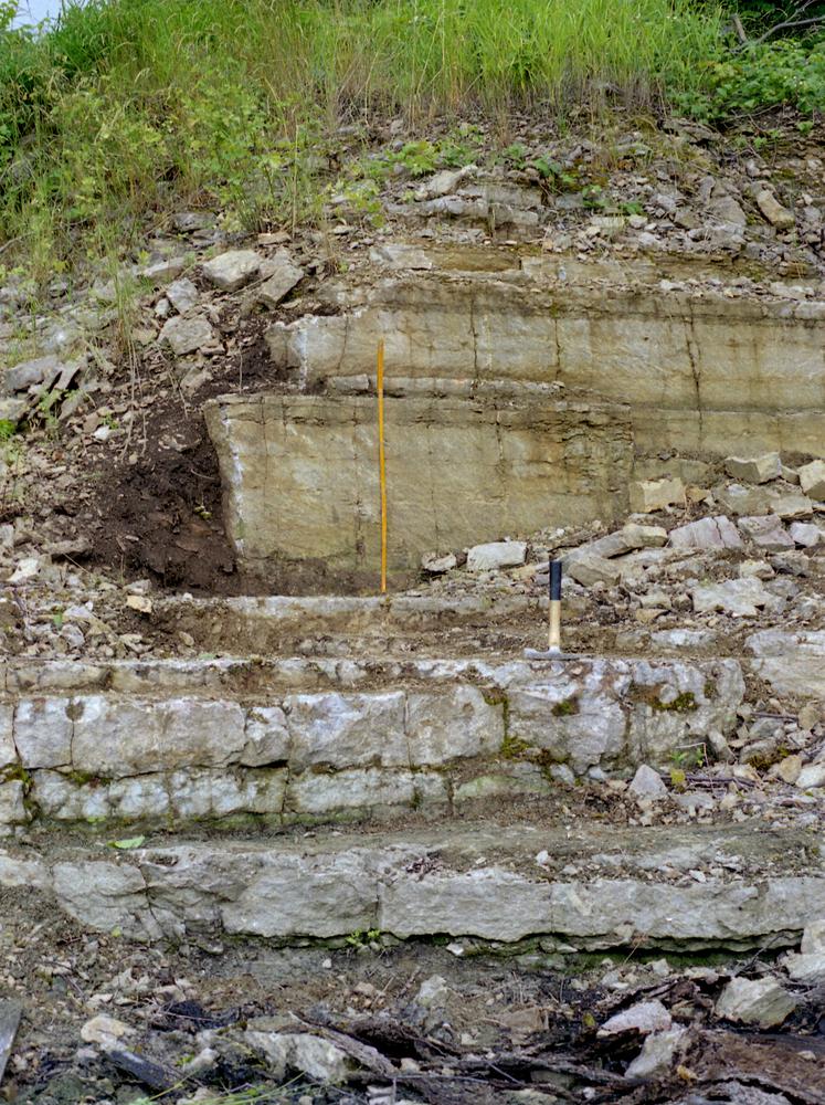
| Name | Viimsi-Lubjamäe quarry |
| Type | outcrop |
| Country | Estonia |
| Parish | Viimsi |
| Settlement | Lubja |
| Coordinates | 59.511011, 24.839278 |
| Coordinate precision | 1-10 m |
| Coord. method | Est Land Board map server |
| Coord. agent | Aaloe, Aasa |
| Location remarks | Viimsi lubjamägi Viimsi klindineemiku astangul; karjäär asub ca 600 m majakast mööda panga serva lõuna pool |
| Strat. top | Lasnamägi Stage |
| Strat. base | Lower Cambrian (old nomenclature) |
| Date added | 2005-11-08 |
| Date changed | 2019-01-28 |
Browse Geocollections
Partners


This site uses Matomo to analyze traffic and help us to improve your user experience. We process your IP address, viewed pages, load times and device information. This data is only processed by us.