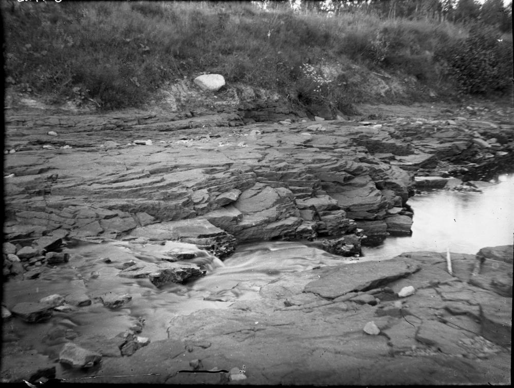
| Name | Gorodenka rapids outcrops |
| Type | outcrop |
| Country | Estonia |
| Parish | Illuka |
| Depth | 2 |
| Coordinates | 59.143511, 27.803822 |
| Coord. method | Est Land Board map server |
| Coord. agent | Aaloe, Aasa |
| Location remarks | Gorodenka ojal 300 m metsateel olevast sillast ülesvoolu, oja vasakul kaldal ning oja põhjas, kärestiku kohal. Keskmine paljandite grupp,ligikaudu 5 paljandit. Paljandite arv võib ajas muutuda. |
| Strat. top | Narva Stage |
| Strat. base | Narva Stage |
| Remarks | Siit leitud hulgaliselt kalu ja lingulaid |
| Date added | 2005-10-14 |
| Date changed | 2018-06-29 |
Browse Geocollections
Partners


This site uses Matomo to analyze traffic and help us to improve your user experience. We process your IP address, viewed pages, load times and device information. This data is only processed by us.