


| Name | Sepaküla quarry |
| Type | surface mine |
| Country | Estonia |
| Parish | Ridala |
| Settlement | Sepaküla |
| Coordinates | 58.884717, 23.484444 |
| Coordinate precision | 10-100 m |
| Coord. method | GPS |
| Coord. agent | Aaloe, Aasa |
| Location remarks | Tänapäeval Ungru-Sepaküla lubjakivimaardla Sepaküla paemurd |
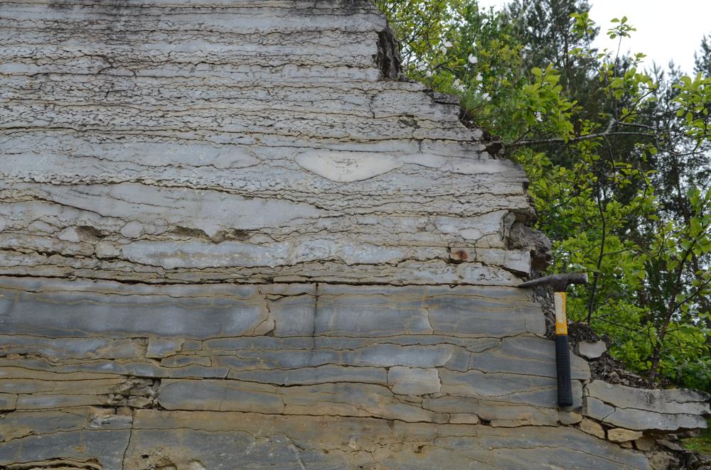
| Strat. base | Raikküla Stage |
| Remarks | 2012 - koordinaadid maardlasse sissesõidu teelt, saetud seina (ca 6 m) lähedalt |
| Date added | 2005-09-22 |
| Date changed | 2022-12-16 |
Browse Geocollections
Partners

