


| Name | Sepaküla quarry |
| Type | surface mine |
| Country | Estonia |
| Parish | Ridala |
| Settlement | Sepaküla |
| Coordinates | 58.884717, 23.484444 |
| Coordinate precision | 10-100 m |
| Coord. method | GPS |
| Coord. agent | Aaloe, Aasa |
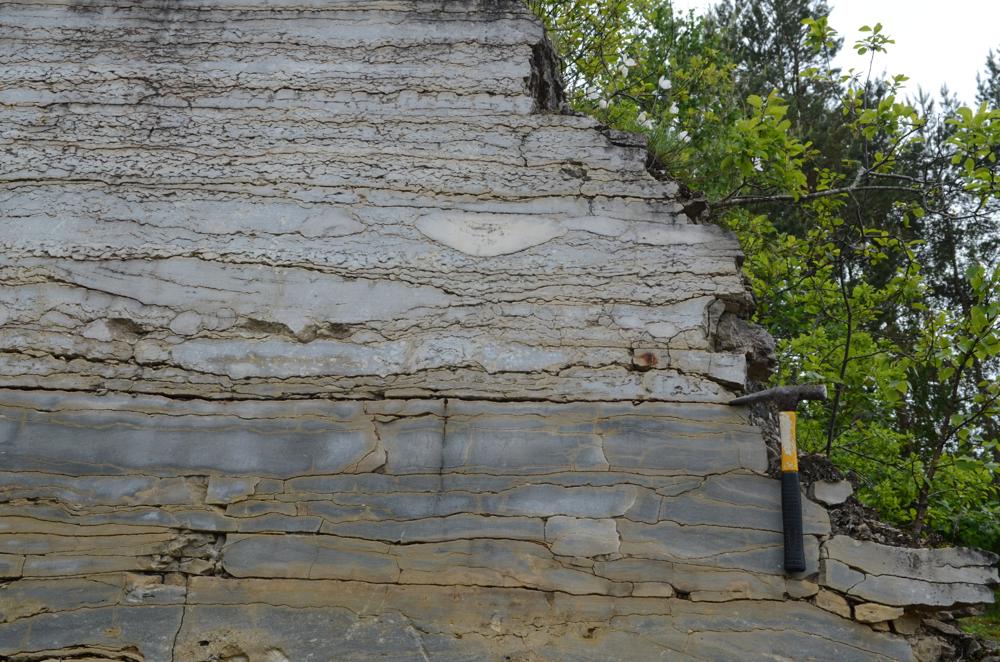
| Location remarks | Tänapäeval Ungru-Sepaküla lubjakivimaardla Sepaküla paemurd |
| Strat. base | Raikküla Stage |
| Remarks | 2012 - koordinaadid maardlasse sissesõidu teelt, saetud seina (ca 6 m) lähedalt |
| Date added | 2005-09-22 |
| Date changed | 2022-12-16 |
Browse Geocollections
Partners


This site uses Matomo to analyze traffic and help us to improve your user experience. We process your IP address, viewed pages, load times and device information. This data is only processed by us.