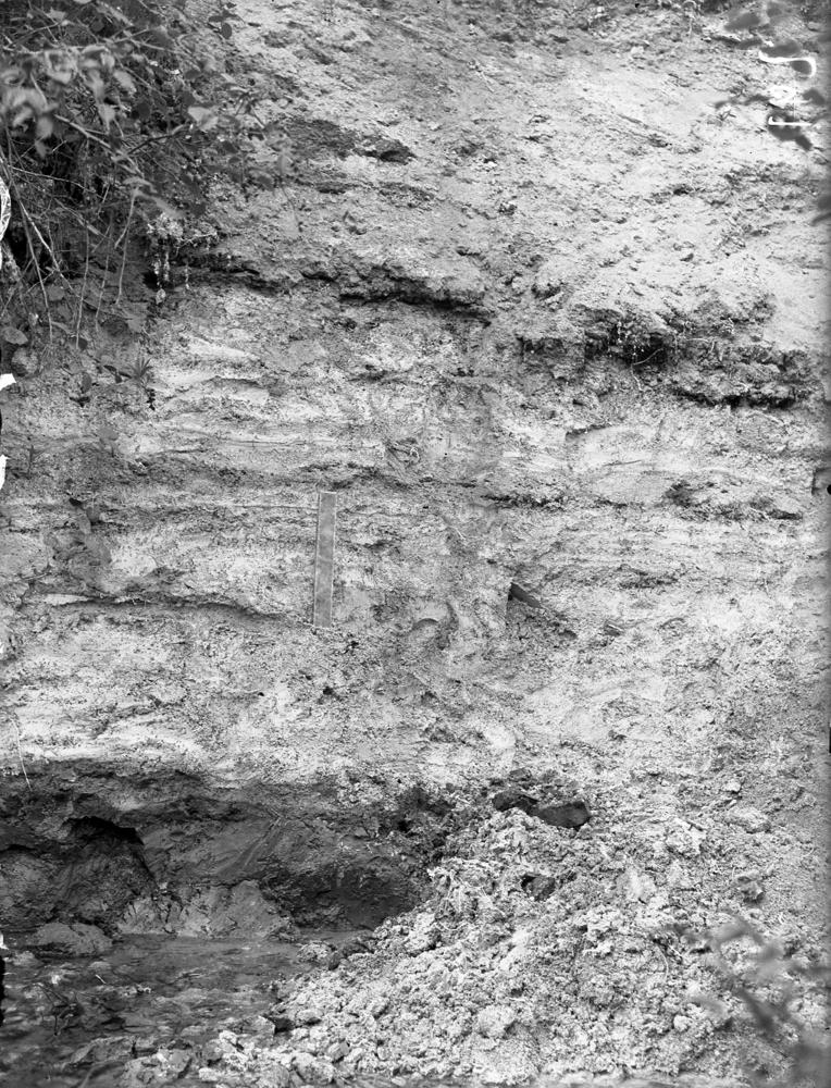
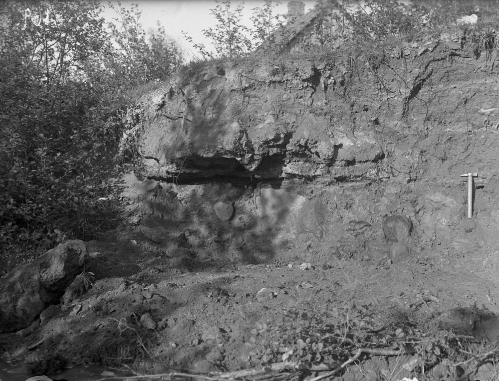
| Name | Loosi outcrop |
| Type | outcrop |
| Country | Estonia |
| Parish | Vastseliina |
| Depth | 4.2 |
| Coordinates | 57.812007, 27.233904 |
| Coord. method | Google Maps / Earth |
| Coord. agent | Aaloe, Aasa |
| Location remarks | H.V. - Loosilt Tabina poole sõites ojakese kaldal järvelubja karjäär (omaaegse järve põhi). Koordinaadid ei pruugi õiged olla. 28. kd. - Võru rajoon, 6 km Loosi raudteejaamast, Piusa lisajõe järsul kaldal |
| Strat. top | Gauja Stage |
| Strat. base | Amata Stage |
| Remarks | Andmed Viidingu päevikutes 1 ja 4 |
| Date added | 2005-07-11 |
| Date changed | 2019-02-18 |
Browse Geocollections
Partners


This site uses Matomo to analyze traffic and help us to improve your user experience. We process your IP address, viewed pages, load times and device information. This data is only processed by us.