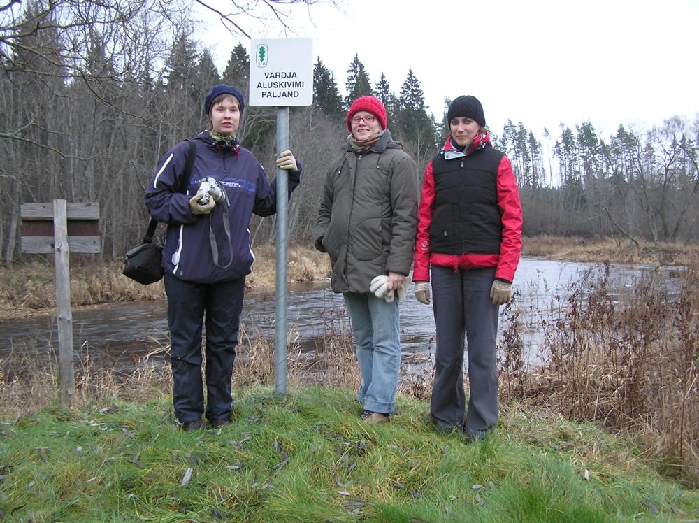

| Name | Vardja outcrop |
| Type | outcrop |
| Country | Estonia |
| Parish | Saarde |
| Coordinates | 58.267836, 25.103692 |
| Coordinate precision | 10-100 m |
| Coord. method | Est Land Board map server |
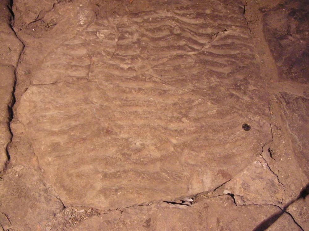
| Location remarks | Vardja paljand asub Kanaküla külast 4 km loode pool Halliste jõe paremal kaldal Vardja talu kohal. Jõgi kärestikuline ja madal. Paaris kohas paljandub ca 0,5 m kõva vilgurikast punakat liivakivi. |
| Strat. top | Aruküla Stage |
| Strat. base | Narva Stage |
| Date added | 2005-06-17 |
| Date changed | 2018-12-03 |
Browse Geocollections
Partners


This site uses Matomo to analyze traffic and help us to improve your user experience. We process your IP address, viewed pages, load times and device information. This data is only processed by us.