| Name | Tarvastu mill outcrop, Viljandi County |
| Type | outcrop |
| Country | Estonia |
| Parish | Tarvastu |
| Coordinates | 58.235806, 25.903361 |
| Coordinate precision | 1-10 m |
| Coord. method | Est Land Board map server |
| Coord. agent | Aaloe, Aasa |
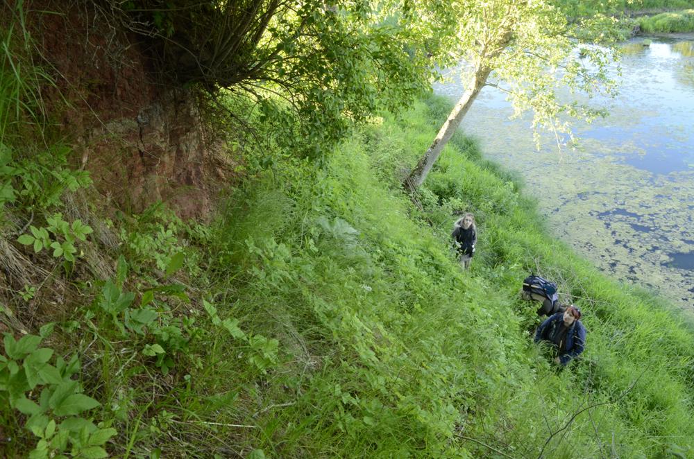
| Location remarks | Mustlast 1,5 km idas Tarvastu jõe vasakul kaldal, Tarvastu linnuse varemete kohal |
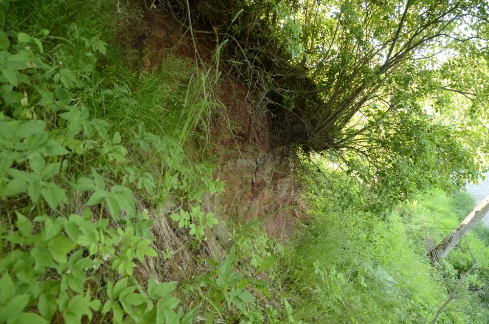
| Strat. top | Aruküla Stage |
| Strat. base | Aruküla Stage |
| Remarks | Tarvastu kihtide stratotüüp. Koordinaadid veskisillalt, kuid kus paljand? |
| Date added | 2005-03-11 |
| Date changed | 2015-12-04 |
Browse Geocollections
Partners


This site uses Matomo to analyze traffic and help us to improve your user experience. We process your IP address, viewed pages, load times and device information. This data is only processed by us.