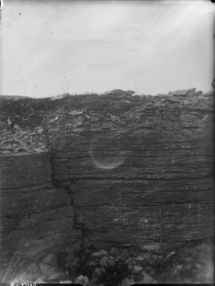
| Name | Kirimäe quarry, Läänemaa |
| Type | outcrop |
| Country | Estonia |
| Parish | Taebla |
| Settlement | Kirimäe |
| Depth | 1.3 |
| Coordinates | 58.933872, 23.746644 |
| Coord. method | Est Land Board map server |
| Coord. agent | Aaloe, Aasa |
| Location remarks | Haapsalust ~12 km ida pool, Taebla-Martna tee ääres. Taeblast ca 4 km kagu pool, Kirimäe mõisast ida pool. H.N.1981 - Kirimäe külas Martna tee ääres teeristil, kohalik nimi Kabelimäe |
| Strat. top | Raikküla Stage |
| Strat. base | Juuru Stage |
| Remarks | Vana kinnikasvanud paemurd, kuid mõnes kohas paljandub Borealis lubjakivi. Taebla poolses osas madalad kuni 0,80m profiiliga augud. Taeblast kaugemal uued augud. M. Rubel, päevik 3. |
| Date added | 2004-09-22 |
| Date changed | 2022-12-16 |
Browse Geocollections
Partners


This site uses Matomo to analyze traffic and help us to improve your user experience. We process your IP address, viewed pages, load times and device information. This data is only processed by us.