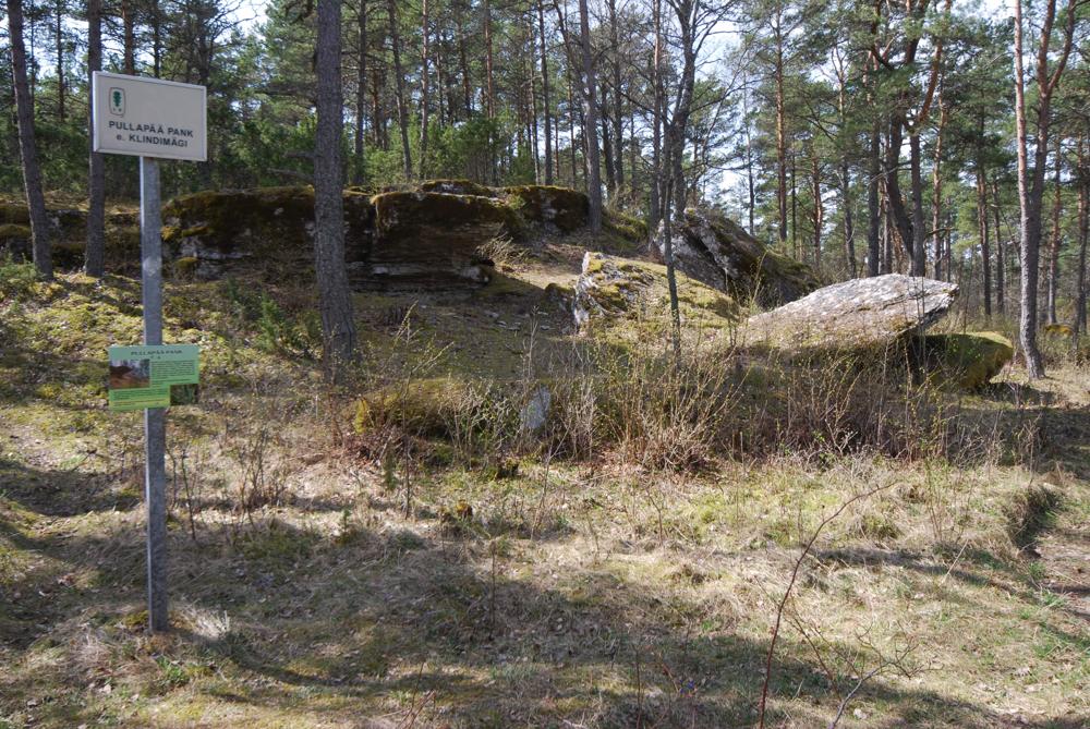
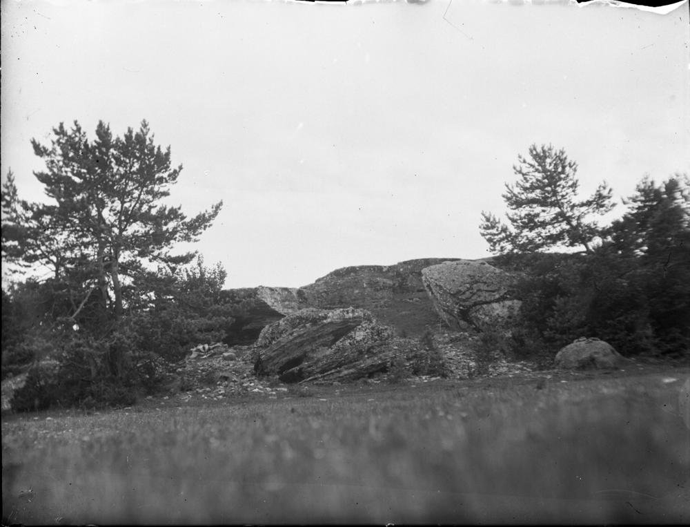
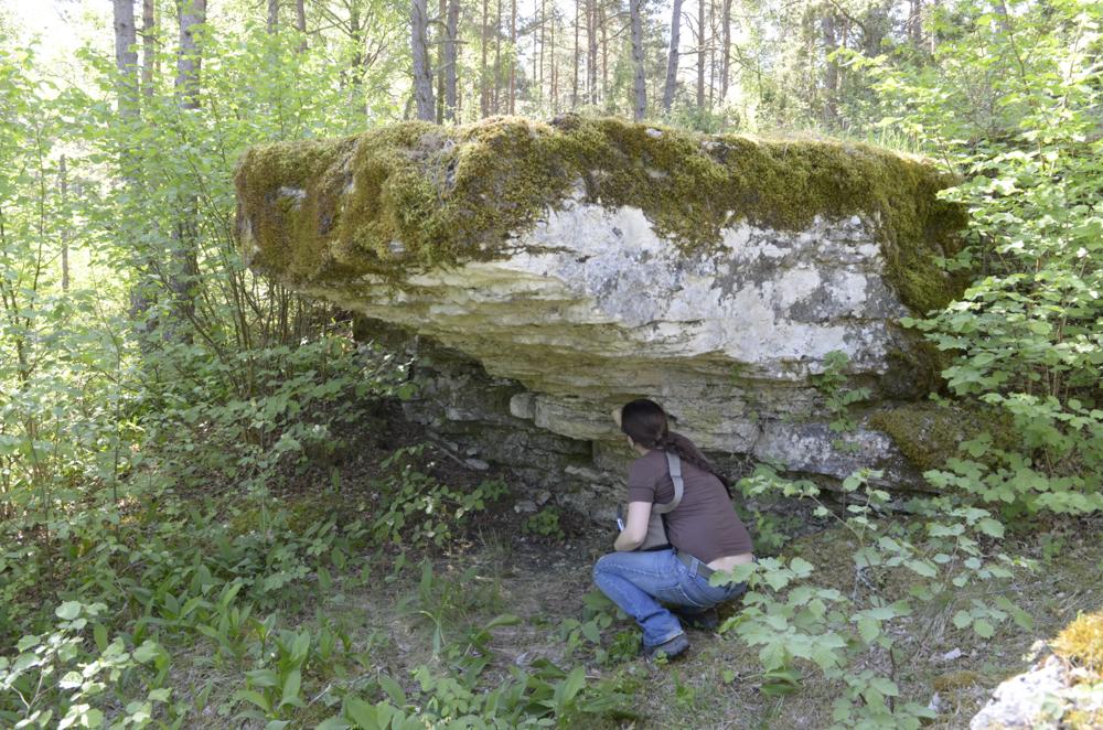
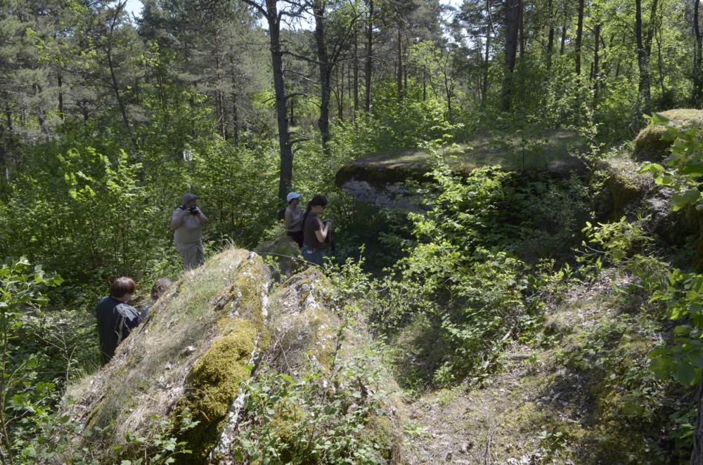
| Name | Pullapää scarplet |
| Type | outcrop |
| Country | Estonia |
| Parish | Ridala |
| Settlement | Nõmme |
| Coordinates | 58.932222, 23.449722 |
| Coordinate precision | 10-100 m |
| Coord. method | GPS |
| Coord. agent | Aaloe, Aasa |
| Location remarks | Pullapää ps kõrgemas osas Lindimäel. 200m pikk ja 6m kõrgune aluspõhjakõviku kirdeserv |
| Strat. top | Juuru Stage |
| Strat. base | Juuru Stage |
| Remarks | Parim Hilliste kihistu paljand Mandri-Eestis |
| Date added | 2004-09-22 |
| Date changed | 2020-11-01 |
Browse Geocollections
Partners


This site uses Matomo to analyze traffic and help us to improve your user experience. We process your IP address, viewed pages, load times and device information. This data is only processed by us.