| Name | Husryggen 4, Gotland |
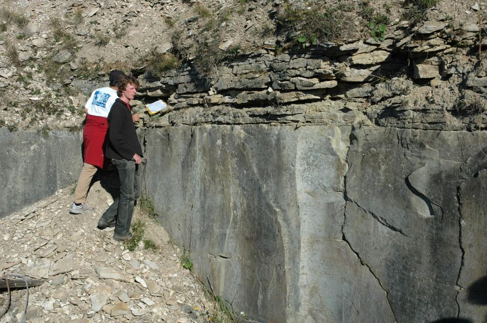
| Type | outcrop |
| Country | Sweden |
| Coordinates | 56.94462, 18.15083 |
| X | 631571 |
| Y | 164281 |
| Coordinate precision | 10-100 m |
| Coord. method | GPS |
| Coord. agent | Hints, Olle |
| Location remarks | Gotlandi lõunaotsa läänerannikul |
| Strat. top | Ludfordian |
| Strat. base | Ludfordian |
| Remarks | Abandoned quarry about 10 m W of the road, SW and NE of a small road leading down towards the beach, ca. 850 m S of the house at Klasens. |
| Date added | 2004-09-14 |
| Date changed | 2025-02-20 |
Browse Geocollections
Partners


This site uses Matomo to analyze traffic and help us to improve your user experience. We process your IP address, viewed pages, load times and device information. This data is only processed by us.