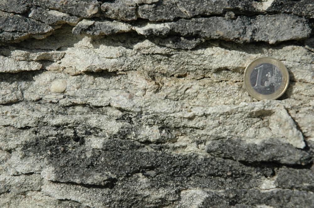
| Name | Bara 1, Gotland |
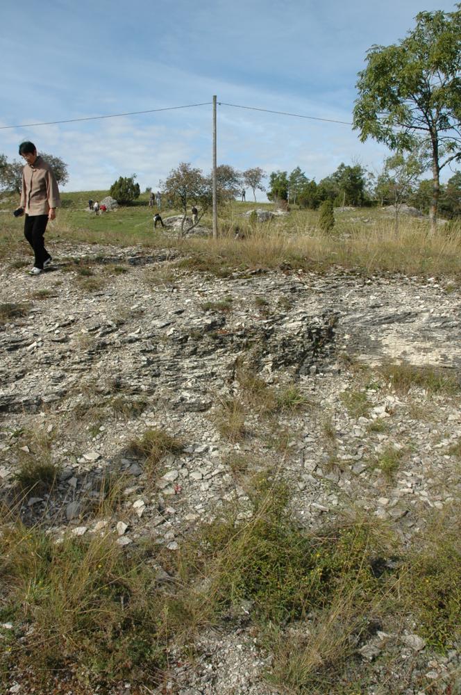
| Type | outcrop |
| Country | Sweden |
| Coordinates | 57.58424, 18.6072 |
| X | 6387900 |
| Y | 1667569 |
| Coordinate precision | 10-100 m |
| Coord. method | GPS |
| Coord. agent | Hints, Olle |
| Location remarks | Abandoned quarry, c. 575 m west of the Bara church ruin. |
| Strat. top | Homerian |
| Strat. base | Homerian |
| Date added | 2004-09-14 |
| Date changed | 2025-02-20 |
Browse Geocollections
Partners


This site uses Matomo to analyze traffic and help us to improve your user experience. We process your IP address, viewed pages, load times and device information. This data is only processed by us.