![](https://files.geocollections.info/medium/c6b5f4aa-856c-48f8-bcfa-c6661c2925ae.jpg)
![](https://files.geocollections.info/medium/eb56cfb6-7689-4e75-9890-56c2c2ee7625.jpg)
![](https://files.geocollections.info/medium/a566539b-4dae-4d9d-94ab-1e43dc6ea40d.jpg)
![](https://files.geocollections.info/medium/8ffb8d6c-57f5-4b3f-9376-1cc088a684f9.jpg)
![](https://files.geocollections.info/medium/02165000-5e44-4940-911a-84390dfada3d.jpg)
![](https://files.geocollections.info/medium/e00c1e2b-8b91-4ab4-839c-ac83da50fc29.jpg)
![](https://files.geocollections.info/medium/0c12f0f5-e1b6-4afe-b42f-9316c8005b24.jpg)
![](https://files.geocollections.info/medium/b3279f85-c06a-4b1b-93a8-eaf8302a0b08.jpg)
![](https://files.geocollections.info/medium/19eb1202-b73f-463d-9d2b-52ee0b4b0068.jpg)
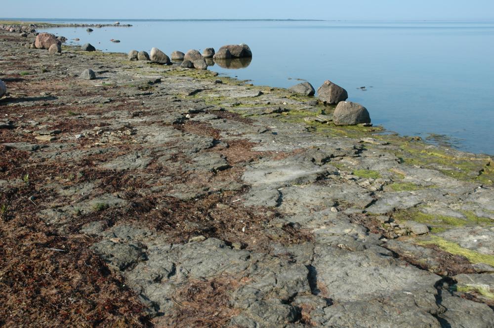
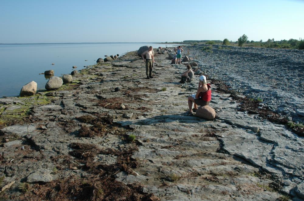
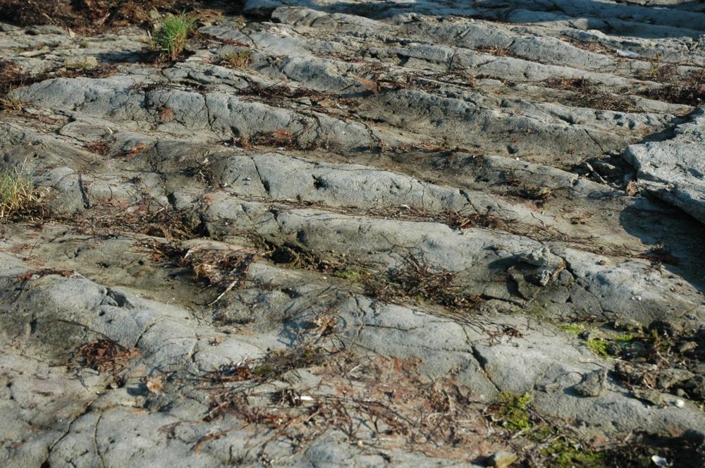
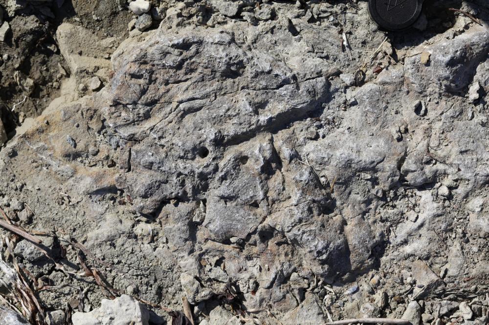
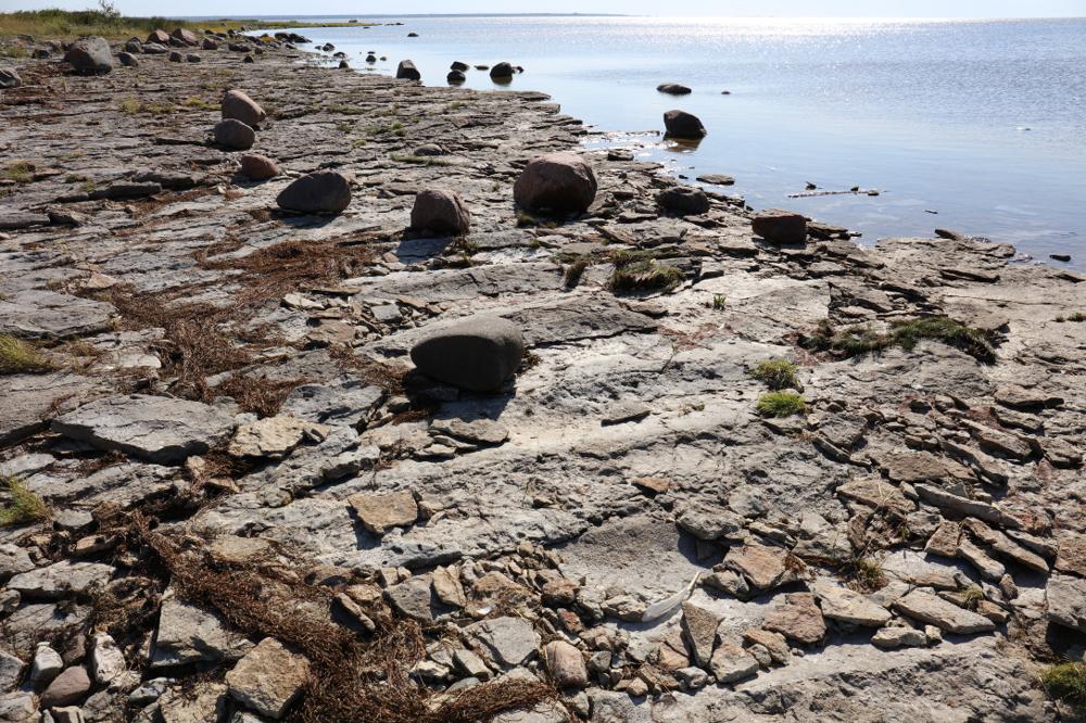
Name | Kaugatuma-Lõo outcrop (ripple-mark coast) |
Type | outcrop |
Country | Estonia |
Parish | Salme |
Settlement | Kaugatoma |
Coordinates | 58.11389, 22.18408 |
Coordinate precision | 10-100 m |
Coord. method | GPS |
Coord. agent | Tammekänd, Mairy |
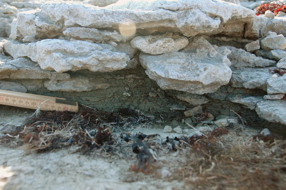
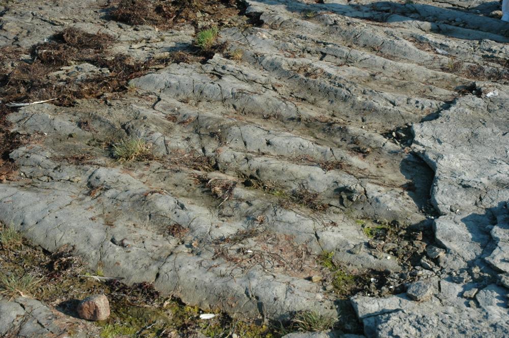
Location remarks | Kaugatuma panga ja Lõu majaka vahel. E. Klaamann 1974 - Kaugatuma pangast 1 km lõunas - aluspõhjaline paepõrand 200m ulatuses. (Between the Kaugatuma bank and the Lõu lighthouse. E. Klaamann 1974 - 1 km south of the Kaugatuma bank - floor for 200m.) |
Strat. top | Kaugatuma Stage |
Strat. base | Kaugatuma Stage |
Date added | 2004-08-11 |
Date changed | 2024-05-21 |
Browse Geocollections