

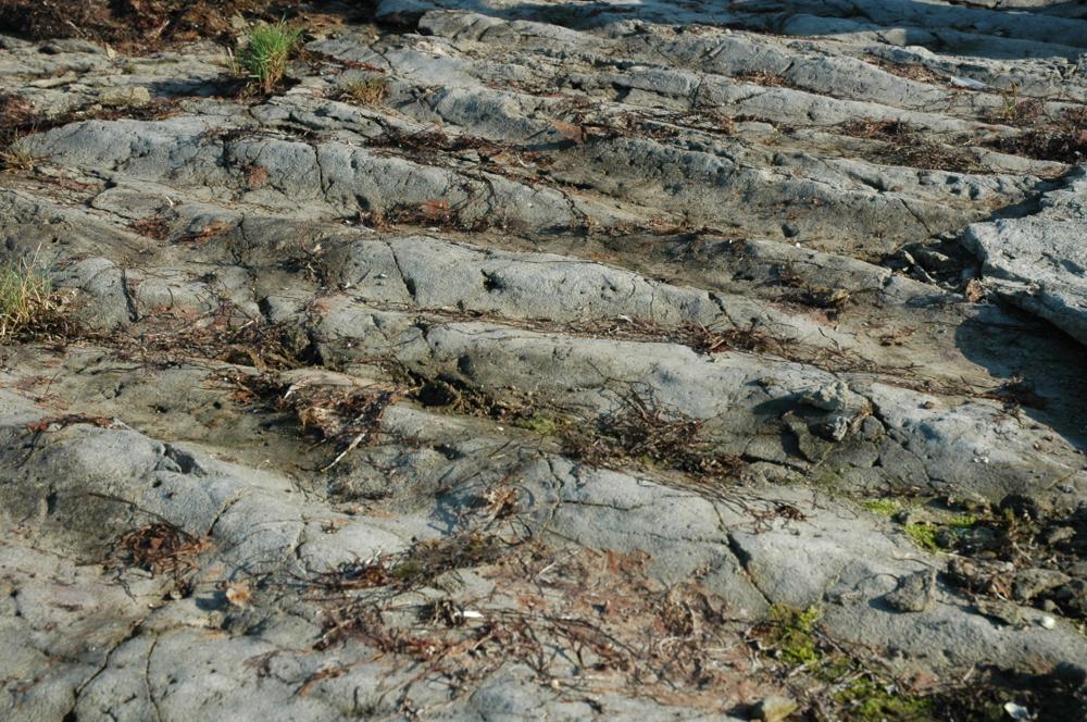
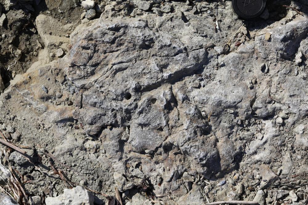
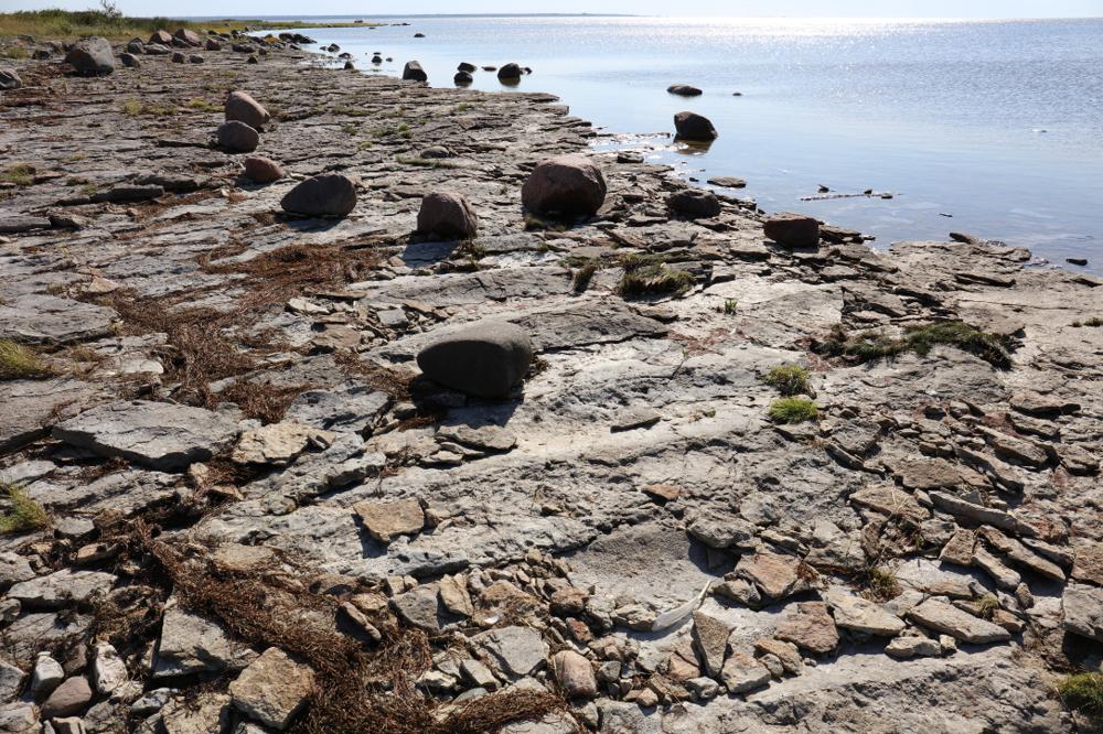
| Name | Kaugatuma-Lõo outcrop (ripple-mark coast) |
| Type | outcrop |
| Country | Estonia |
| Parish | Salme |
| Settlement | Kaugatoma |
| Coordinates | 58.11389, 22.18408 |
| Coordinate precision | 10-100 m |
| Coord. method | GPS |
| Coord. agent | Tammekänd, Mairy |
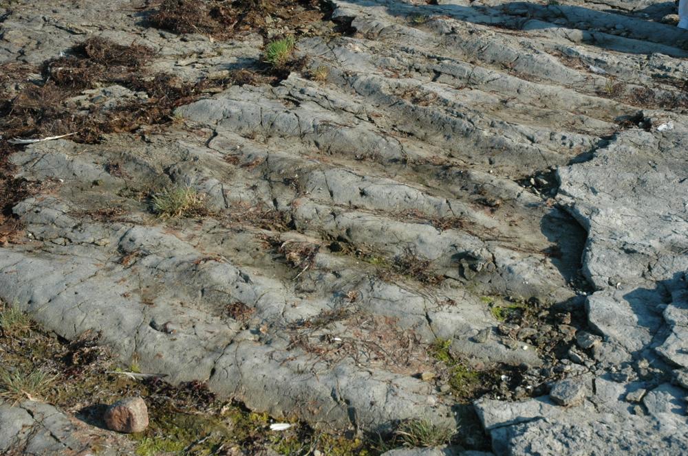
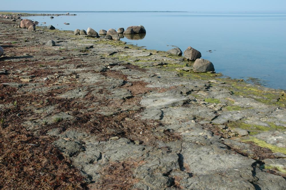
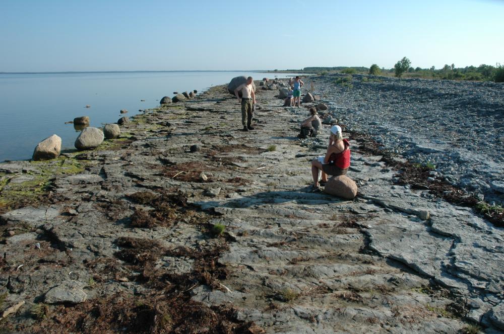
| Location remarks | Kaugatuma panga ja Lõu majaka vahel. E. Klaamann 1974 - Kaugatuma pangast 1 km lõunas - aluspõhjaline paepõrand 200m ulatuses. (Between the Kaugatuma bank and the Lõu lighthouse. E. Klaamann 1974 - 1 km south of the Kaugatuma bank - floor for 200m.) |
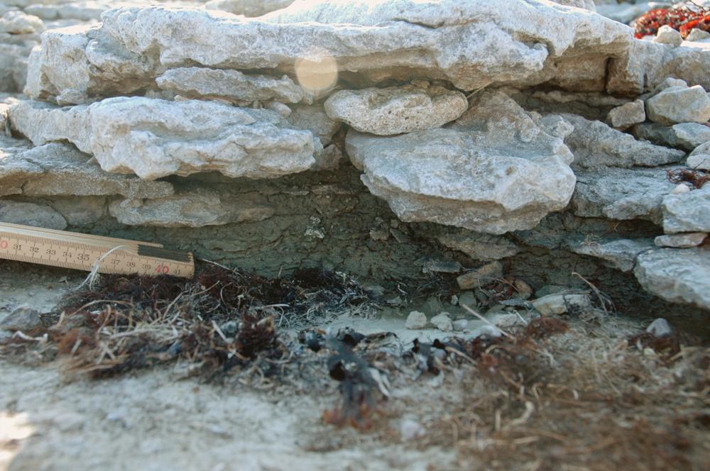
| Strat. top | Kaugatuma Stage |
| Strat. base | Kaugatuma Stage |
| Date added | 2004-08-11 |
| Date changed | 2024-05-21 |
Browse Geocollections
Partners


This site uses Matomo to analyze traffic and help us to improve your user experience. We process your IP address, viewed pages, load times and device information. This data is only processed by us.