

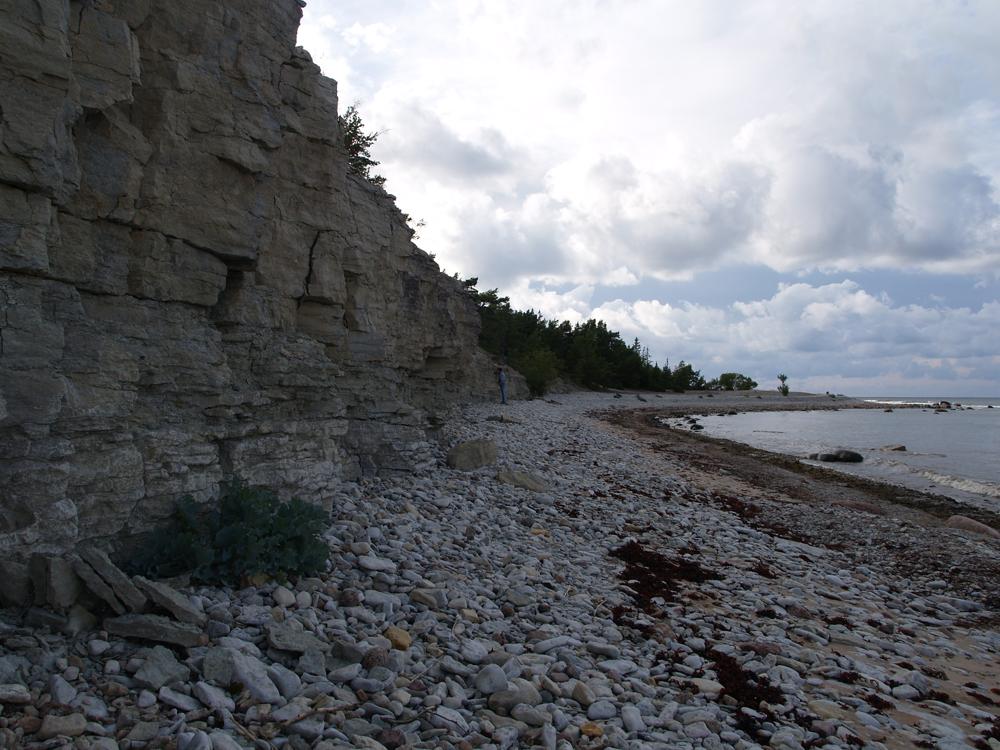
| Name | Kuriku cliff |
| Type | outcrop |
| Country | Estonia |
| Parish | Kihelkonna |
| Settlement | Undva |
| Coordinates | 58.50285, 22.01296 |
| Coordinate precision | 10-100 m |
| Coord. method | GPS |
| Coord. agent | Hints, Olle |
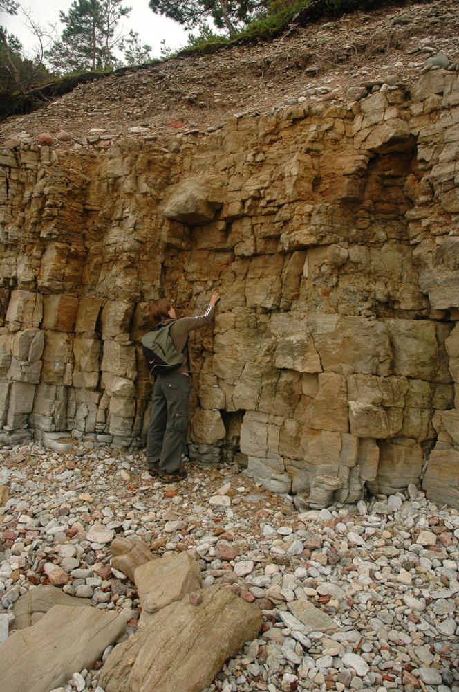
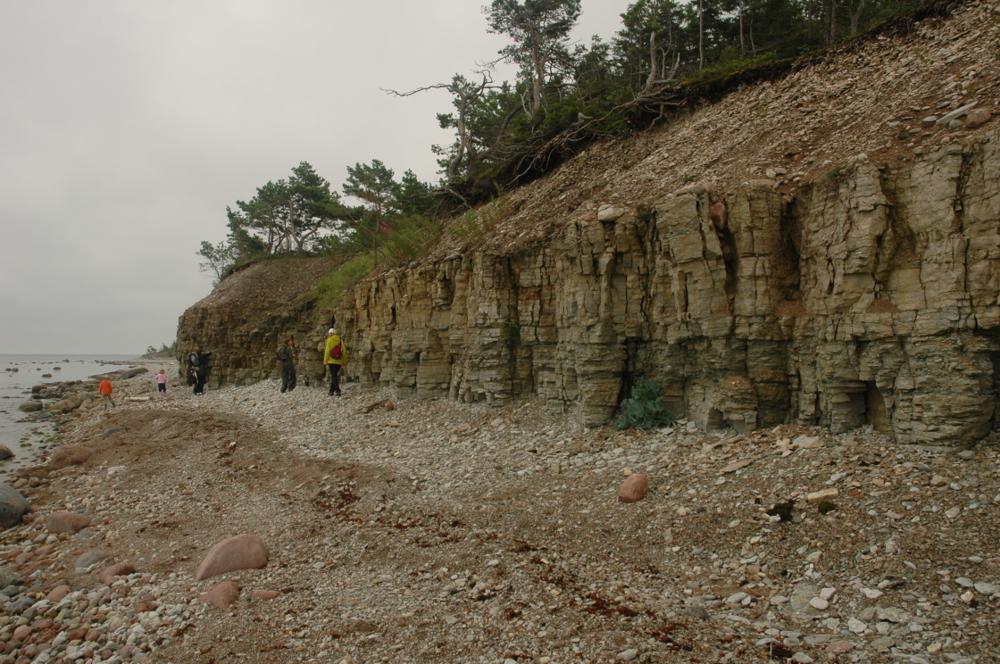
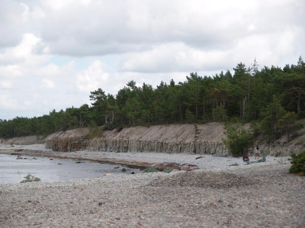
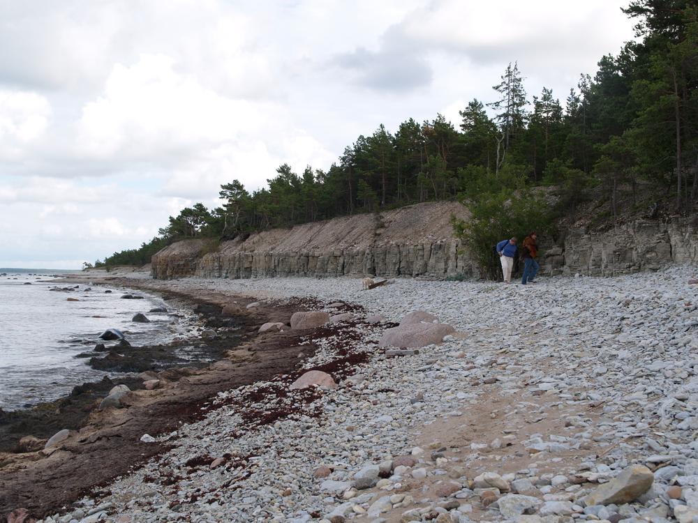
| Location remarks | Tagalahe looderannal, Undva külast idas. Panga pikkus 1,3 km. Suuriku pangast ca 0.5 km ida pool |
| Strat. top | Jaani Stage |
| Strat. base | Jaani Stage |
| Remarks | Kihid kallutatud, mistõttu geoloogilist läbilõiget kuni 3,5m. |
| Date added | 2004-08-11 |
| Date changed | 2018-05-18 |
Browse Geocollections
Partners


This site uses Matomo to analyze traffic and help us to improve your user experience. We process your IP address, viewed pages, load times and device information. This data is only processed by us.