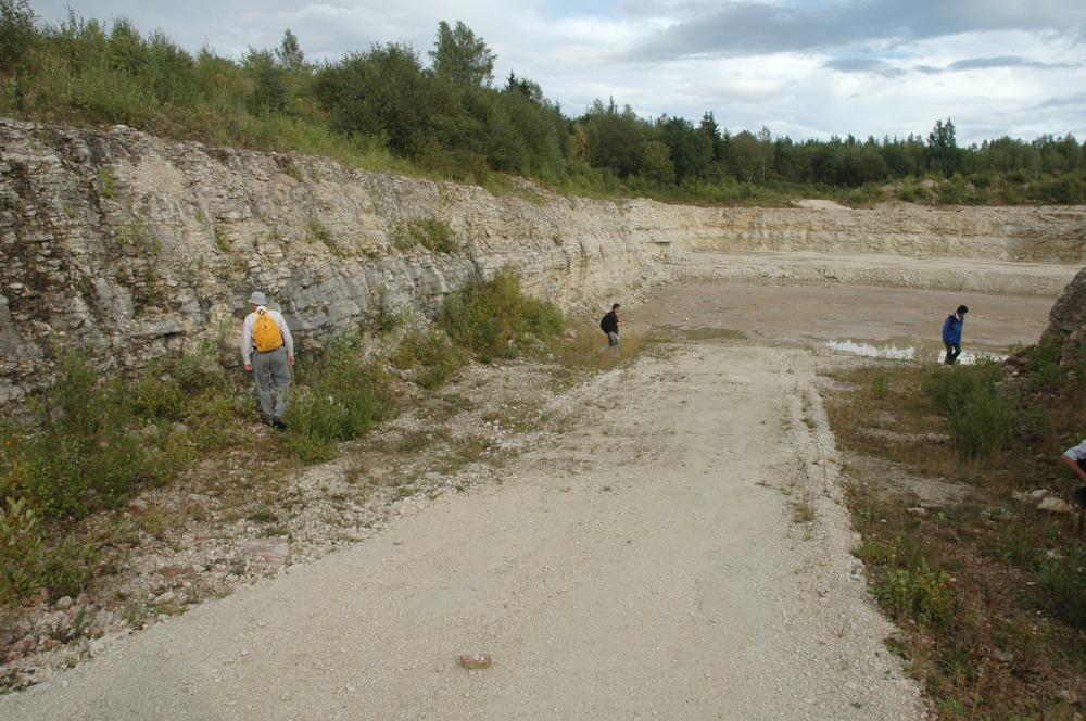


| Name | Võhmuta quarry |
| Type | outcrop |
| Country | Estonia |
| Parish | Tamsalu |
| Settlement | Võhmuta |
| Coordinates | 59.08805, 25.98694 |
| Coordinate precision | 10-100 m |
| Coord. method | GPS |
| Coord. agent | Hints, Olle |
| Location remarks | Võhmuta ja Vajangu küla Pandivere kõrgustiku lääneserval |
| Strat. top | Juuru Stage |
| Strat. base | Juuru Stage |
| Remarks | Murtakse Tamsalu karplubjakivi |
| Date added | 2004-05-26 |
| Date changed | 2024-02-28 |
Browse Geocollections
Partners


This site uses Matomo to analyze traffic and help us to improve your user experience. We process your IP address, viewed pages, load times and device information. This data is only processed by us.