
| Name | Tammneeme outcrop |
| Type | outcrop |
| Country | Estonia |
| Parish | Viimsi |
| Settlement | Tammneeme |
| Coordinates | 59.531298, 24.890617 |
| X | 6599636 |
| Y | 550399 |
| Coordinate precision | 1-10 m |
| Coord. method | Est Land Board map server |
| Coord. agent | Hints, Olle |
| Location remarks | Viimsi poolsaare idarannal Tammneeme küla põhjaserval |
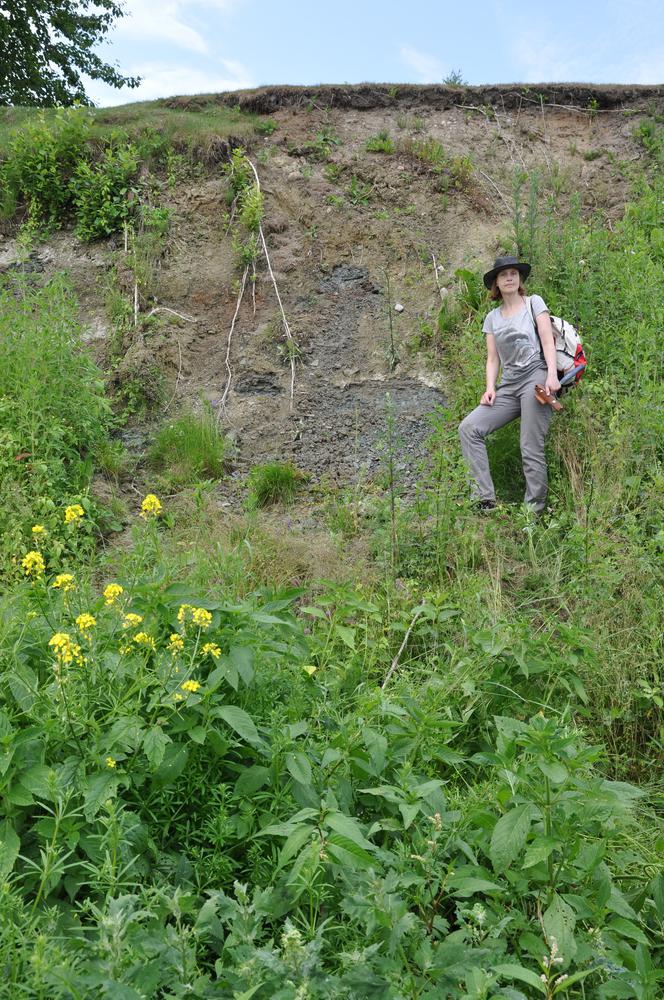
| Strat. top | Lontova Stage |
| Strat. base | Lontova Stage |
| Remarks | Lontova kihistu Tammneeme kihistiku stratotüüp |
| Date added | 2004-02-18 |
| Date changed | 2016-11-04 |
Browse Geocollections
Partners

