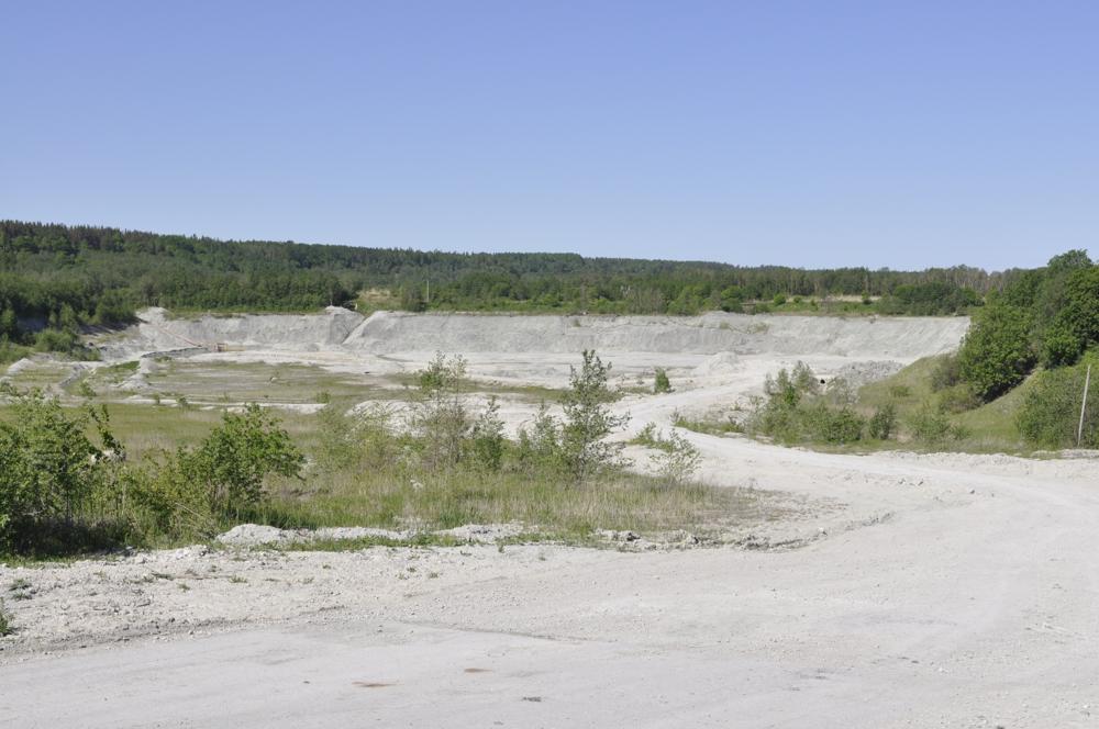
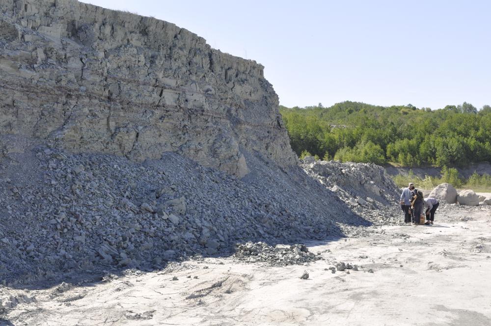
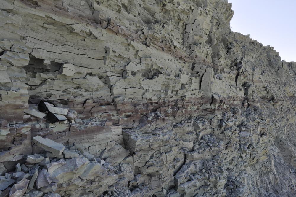
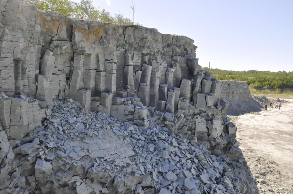
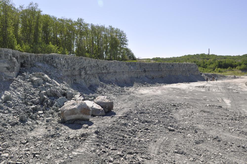
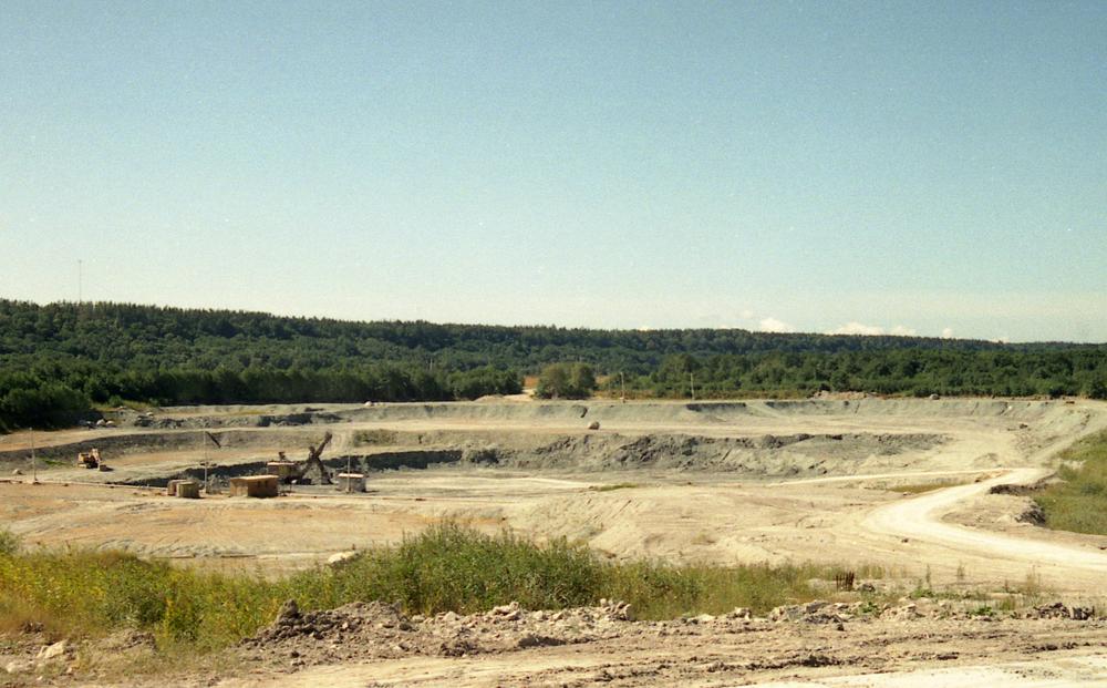
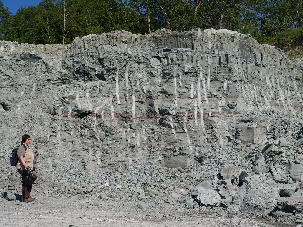

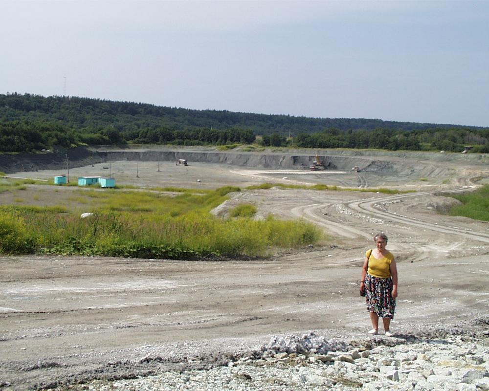
| Name | Kunda Mereäärne clay quarry |
| Type | surface mine |
| Country | Estonia |
| Parish | KUNDA |
| Coordinates | 59.513883, 26.529627 |
| Coordinate precision | 100-1000 m |
| Coord. method | Google Maps / Earth |
| Coord. agent | Aaloe, Aasa |
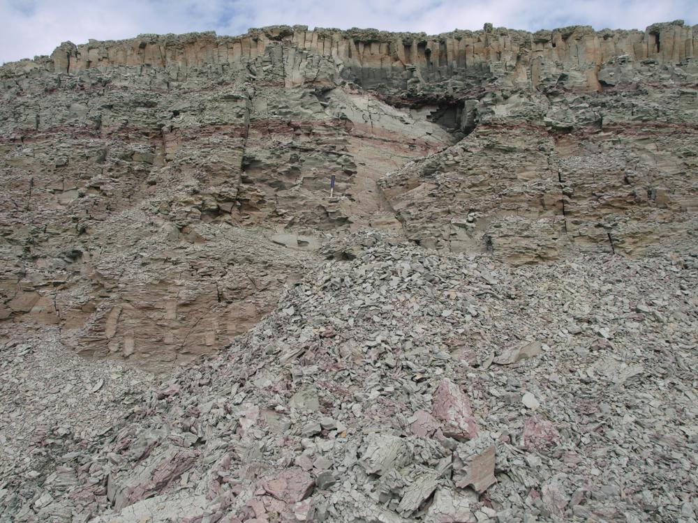
| Location remarks | Kolmest savikarjäärist põhjapoolseim. Avati umbes 1990 a. Kunda mereäärne savikarjäär - Lontova kihistu holostratotüüp (Lontova lade Kambriumi ladestu); |
| Strat. base | Lower Cambrian (old nomenclature) |
| Remarks | Lontova kihistu stratotüüp. GI-l proovid alates 2001 |
| Date added | 2004-01-06 |
| Date changed | 2022-12-15 |
Browse Geocollections
Partners


This site uses Matomo to analyze traffic and help us to improve your user experience. We process your IP address, viewed pages, load times and device information. This data is only processed by us.